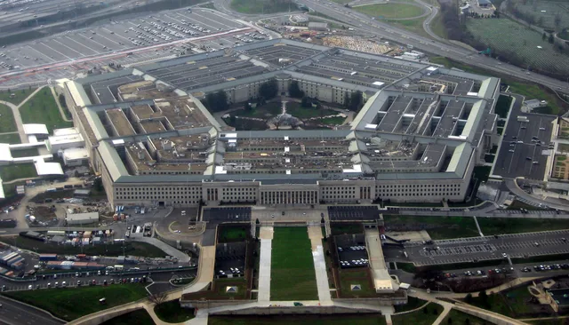
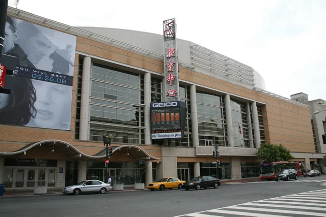
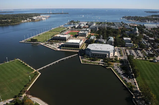
 Військово-морська Академія США
- Відстань
- 390 км
 TravelHub
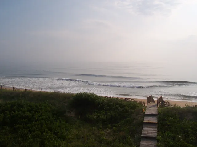
Living on this narrow strip requires planning around bridge access, tidal flooding, and severe coastal winds that dictate daily transport across the barrier islands.
 Музей мистецтва Метрополітен
 Волл-стріт
 Білий дім
 Всесвітній торговий центр
 Бруклінський міст
 Центральний парк
 Емпайр-Стейт-Білдінг
 Золота Брама
 Міжнародний аеропорт імені Джона Кеннеді
 Статуя Свободи
 Пентагон
 Вілліс Тауер
 Бруклінський музей
 Центр Ґетті
 Музей Ґетті
 Музей сучасного мистецтва
 Музей Соломона Ґуґґенгайма
 Bronx Zoo
 Арка Гейтвей
 Сенчурі Лінк Філд
 Мерседес-Бенц Стедіум
 NRG-Стедіум
 Юнайтед-центр
 Бродвей
 Штаб-квартира ООН
 Рокфеллерський центр
 Всесвітній торговий центр 7
 Джон Генкок Центр
 Американський музей природознавства
 Аон центр
 Художній інститут Чикаго
 AT&T стадіон
 Башта Банку Америки
 Верайзон-центр
 Карнегі-хол
 Крайслер Білдінг
 Коні-Айленд (Бруклін)
 Гонолулу
 Діснейленд
 П'ята авеню
 Праска
 Гранд-Сентрал-Стейшн
 Індіанаполіс Мотор Спідвей
 Аеропорт Ла-Гуардія
 Леві Стедіум
 Медісон-сквер-гарден
 Мангеттенський міст
 Новий Амстердам
 Будівля Нью-Йорк Таймс
 Міжнародний аеропорт Ньюарк Ліберті
 Всесвітній торговий центр 1
 Зала слави рок-н-ролу
 Space Needle
 собор Святого Патріка
 Таймс-Сквер
 Трамп-тауер
 Військово-морська Академія США
 Будинок Вулворт
Barrier sandbanks insulate broad inland sounds from the open ocean, creating an environment shaped by water. Mainland road bridges arrived late, leaving historic island communities to develop maritime trades, salvaging customs, and distinct brogues that endure in southern fishing settlements across Ocracoke and Harkers Island.
Service work and commercial fishing sustain everyday operations throughout Dare County. Heavy tourism underwrites public services and beach preservation, but long-term residency demands respect for extreme weather. Exposed shores face regular coastal nor'easters, severe erosion, and Atlantic tropical storm seasons.
Sand movement dominates town management. Municipalities invest tax revenue into recurring nourishment dredging and sheet pile sills to counteract subsidence and storm damage. Living along the strand means monitoring seasonal high tides and severe winds that push salt spray across thin island routes without warning.
Що пишуть відвідувачі на Google Maps
Рейтинг і свіжі відгуки з Google Maps завантажаться на запит.
Не можете знайти потрібне місце? Пошук розуміє будь-яку мову. Відкрити пошук