 ≈ 35 хв у дорозіPresidio of San Francisco
- Відстань
- 2,7 км
 TravelHub
Cyclists crossing into Marin County learn quickly to check strait wind reports and fog patterns before committing to a daily commute over the water.
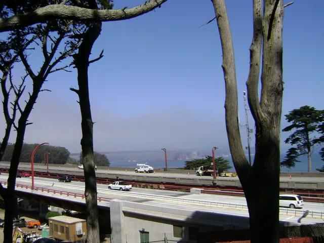
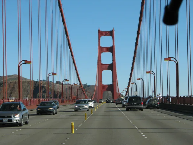
The suspension structure spans the strait between the northern tip of the peninsula and Marin County, connecting San Francisco Bay directly to the Pacific Ocean. In addition to carrying federal and state highway traffic, the span accommodates pedestrians and long-distance cyclists following designated bicycle routes. Engineers from the American Society of Civil Engineers designate the span as an engineering wonder.
Before construction, marine ferries provided the only transit between the peninsula and northern counties, which slowed urban growth compared to national averages. Early engineering assessments claimed a fixed span could not survive the deep channel, swirling tidal currents, high winds, and dense coastal fog. Military authorities raised national defense objections, fearing collapsed wreckage could trap naval ships inside the harbor.
Commercial ferry operators launched lawsuits and faced passenger boycotts while trying to block the construction of a competing roadway across the water. The project moved forward once federal authorities granted military land permits, backed by rising industrial interest in automobile road networks. Modern residents commuting across the span face sudden drops in temperature and heavy head winds on the exposed pedestrian decks.
Що пишуть відвідувачі на Google Maps
Рейтинг і свіжі відгуки з Google Maps завантажаться на запит.
≈ 35 хв у дорозіPresidio of San Francisco ≈ 25 хв у дорозіМузей де Янга
 ≈ 30 хв у дорозіAlamo Square
Не можете знайти потрібне місце? Пошук розуміє будь-яку мову. Відкрити пошук