
- Odległość
- 22 km
Marina · Stany Zjednoczone
Monterey Bay: co jest w pobliżu, jak dojechać i kiedy jechać · 2026
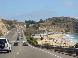
Settling along this shoreline means planning daily commutes around coastal highway bottlenecks and relying on regional road transit to reach larger metro centers.
W pobliżu3
Kurs waluty1,00 $stan na 2 lis 2026
Co jest w pobliżu3
O miejscu
The shoreline defines everyday regional transit along central California.
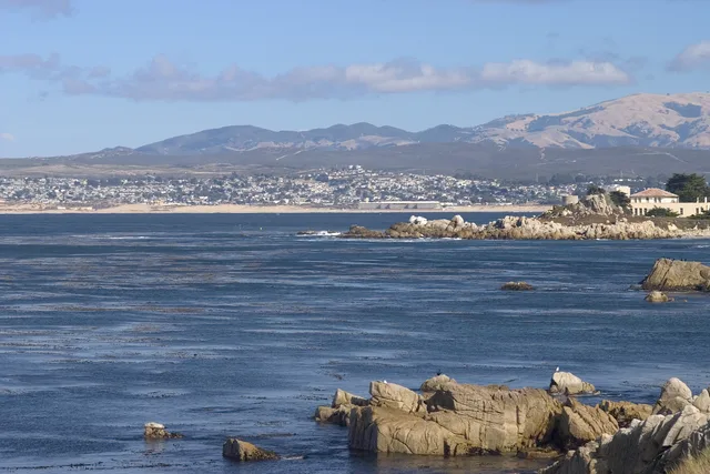
Monterey Bay forms an open indentation of the Pacific Ocean south of the San Francisco Bay Area. Daily travel between shoreline settlements relies heavily on primary coastal corridors, meaning routine drives depend entirely on conditions along CA 1 and US 101.
Czytaj dalej
Residents looking toward major metropolitan hubs head north toward San Francisco along these arterial highways. The surrounding communities also supplied the official designation for Apple desktop computer operating software known as macOS Monterey.
Stowarzyszenia
- CA 1
- macOS Monterey
- Highway reliance
Fakty
- Monterey Bay opens onto the Pacific Ocean south of the San Francisco Bay Area.
- San Francisco lies north along highway connections via CA 1 and US 101.
- Apple named its desktop release macOS Monterey after this coastal area.
Monterey Bay na zdjęciach8 zdjęć · 1 miejsce
Dojazd i zakwaterowanie
2 źródła · Stan na 3 listopada 2026
Źródło: TravelHub · OurAirports (public domain)
Podobne w pobliżu
 ≈ 1 godz. 15 min drogiSan Jose
- Miesiąc
- ≈ 5502 $
- Odległość
- 60 km
 ≈ 3 godz. 50 min drogiLong Beach
- Miesiąc
- ≈ 3067 $
- Odległość
- 477 km
Miasta w Stany Zjednoczone
Miejsca w Monterey Bay
Kraje w pobliżu
Częste pytania dotyczące Monterey Bay
Nie możesz znaleźć miejsca, którego potrzebujesz? Wyszukiwarka rozumie każdy język. Otwórz wyszukiwarkę