
- दूरी
- 22 कि॰मी॰
Marina · संयुक्त राज्य
Monterey Bay: आसपास क्या है, कैसे पहुँचें और कब जाएँ · 2026
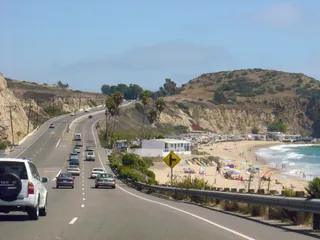
Settling along this shoreline means planning daily commutes around coastal highway bottlenecks and relying on regional road transit to reach larger metro centers.
आसपास3
विनिमय दर$1.003 नव॰ 2026 के अनुसार
आस-पास क्या है3
स्थान के बारे में
The shoreline defines everyday regional transit along central California.
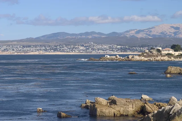
Monterey Bay forms an open indentation of the Pacific Ocean south of the San Francisco Bay Area. Daily travel between shoreline settlements relies heavily on primary coastal corridors, meaning routine drives depend entirely on conditions along CA 1 and US 101.
आगे पढ़ें
Residents looking toward major metropolitan hubs head north toward San Francisco along these arterial highways. The surrounding communities also supplied the official designation for Apple desktop computer operating software known as macOS Monterey.
संस्थाएं
- CA 1
- macOS Monterey
- Highway reliance
तथ्य
- Monterey Bay opens onto the Pacific Ocean south of the San Francisco Bay Area.
- San Francisco lies north along highway connections via CA 1 and US 101.
- Apple named its desktop release macOS Monterey after this coastal area.
तस्वीरों में Monterey Bay8 फोटो · 1 स्थान
वहाँ पहुँचना और रुकना
2 स्रोत · 4 नवंबर 2026 के अनुसार
स्रोत: TravelHub · OurAirports (public domain)
आस-पास के समान विकल्प
 ≈ 1 घं॰ 15 मि॰ की दूरी परसैन जोस, कैलिफोर्निया
- महीना
- ≈ $5,502
- दूरी
- 60 कि॰मी॰
 ≈ 3 घं॰ 50 मि॰ की दूरी परलॉंग बीच, केलिफ़ोर्निया
- महीना
- ≈ $3,067
- दूरी
- 477 कि॰मी॰
संयुक्त राज्य के शहर
Monterey Bay में जगहें
आस-पास के देश
Monterey Bay के बारे में अक्सर पूछे जाने वाले सवाल
अपनी पसंद की जगह नहीं मिल रही? खोज टूल किसी भी भाषा को समझता है। खोज खोलें