
- Відстань
- 22 км
Марина · Сполучені Штати Америки
Монтерей: що навколо, як дістатися і коли їхати · 2026
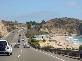
Settling along this shoreline means planning daily commutes around coastal highway bottlenecks and relying on regional road transit to reach larger metro centers.
Що навколо3
Курс валюти1,00 $станом на 2 лист. 2026 р.
Про місце
The shoreline defines everyday regional transit along central California.
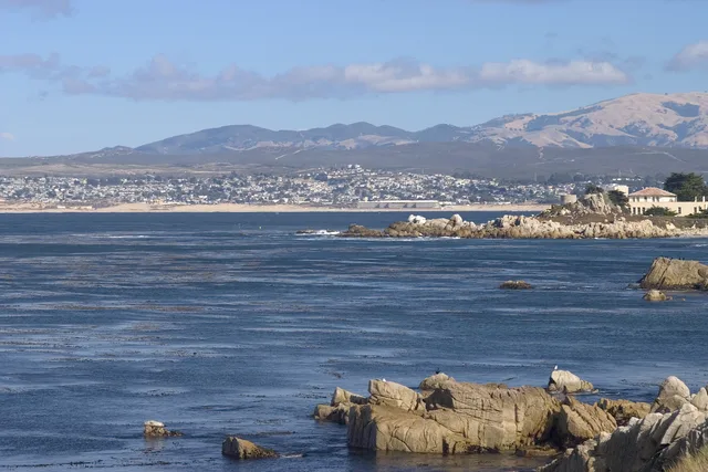
Monterey Bay forms an open indentation of the Pacific Ocean south of the San Francisco Bay Area. Daily travel between shoreline settlements relies heavily on primary coastal corridors, meaning routine drives depend entirely on conditions along CA 1 and US 101.
Читати далі
Residents looking toward major metropolitan hubs head north toward San Francisco along these arterial highways. The surrounding communities also supplied the official designation for Apple desktop computer operating software known as macOS Monterey.
Асоціації
- CA 1
- macOS Monterey
- Highway reliance
Факти
- Monterey Bay opens onto the Pacific Ocean south of the San Francisco Bay Area.
- San Francisco lies north along highway connections via CA 1 and US 101.
- Apple named its desktop release macOS Monterey after this coastal area.
Монтерей у світлинах8 фотографій · 1 місце
Дорога та житло
2 джерела · Станом на 4 листопада 2026 р.
Джерело: TravelHub · OurAirports (public domain)
Схоже поблизу
 ≈ 1 год 15 хв у дорозіСан-Хосе
- Місяць
- ≈ 5 502 $
- Відстань
- 60 км
 ≈ 3 год 50 хв у дорозіЛонґ-Біч
- Місяць
- ≈ 3 067 $
- Відстань
- 477 км
Міста Сполучені Штати Америки
Місця в Монтерей
Країни поруч
Часті питання про Монтерей
Не можете знайти потрібне місце? Пошук розуміє будь-яку мову. Відкрити пошук