
- Məsafə
- 22 km
Marina · ABŞ
Monterey Bay: ətrafda nə var, necə çatmalı və nə vaxt getməli · 2026
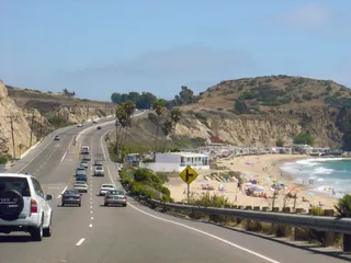
Settling along this shoreline means planning daily commutes around coastal highway bottlenecks and relying on regional road transit to reach larger metro centers.
Ətrafda3
Valyuta məzənnəsi1,00 $2 noy 2026 tarixinə görə
Ətrafda nə var3
Məkan haqqında
The shoreline defines everyday regional transit along central California.
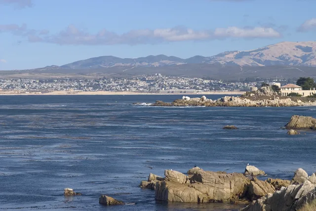
Monterey Bay forms an open indentation of the Pacific Ocean south of the San Francisco Bay Area. Daily travel between shoreline settlements relies heavily on primary coastal corridors, meaning routine drives depend entirely on conditions along CA 1 and US 101.
Davam et
Residents looking toward major metropolitan hubs head north toward San Francisco along these arterial highways. The surrounding communities also supplied the official designation for Apple desktop computer operating software known as macOS Monterey.
Assosiasiyalar
- CA 1
- macOS Monterey
- Highway reliance
Faktlar
- Monterey Bay opens onto the Pacific Ocean south of the San Francisco Bay Area.
- San Francisco lies north along highway connections via CA 1 and US 101.
- Apple named its desktop release macOS Monterey after this coastal area.
Şəkillərdə Monterey Bay8 şəkil · 1 yer
Çatmaq və qalmaq
2 mənbə · 3 noyabr 2026 tarixinə
Mənbə: TravelHub · OurAirports (public domain)
Yaxınlıqdakı bənzər yerlər
 ≈ 1 saat 15 dəq məsafədəSan-Xose
- Ay
- ≈ 5.502 $
- Məsafə
- 60 km
 ≈ 3 saat 50 dəq məsafədəLonq-Biç
- Ay
- ≈ 3.067 $
- Məsafə
- 477 km
Monterey Bay ünvanındakı yerlər
Yaxınlıqdakı ölkələr
Monterey Bay haqqında tez-tez verilən suallar
Axtardığınız yeri tapa bilmirsiniz? Axtarış sistemi istənilən dildə başa düşür. Axtarışı aç