
- Attālums
- 22 km
Marina · Amerikas Savienotās Valstis
Monterey Bay: kas ir apkārt, kā nokļūt un kad doties · 2026. g.
Settling along this shoreline means planning daily commutes around coastal highway bottlenecks and relying on regional road transit to reach larger metro centers.
Apkārtnē3
Valūtas kurss1,00 $uz 2026. gada 3. nov.
Kas atrodas apkārt3
Par vietu
The shoreline defines everyday regional transit along central California.
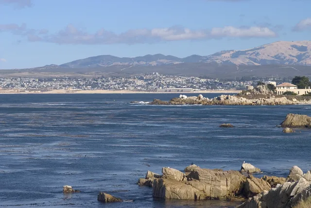
Monterey Bay forms an open indentation of the Pacific Ocean south of the San Francisco Bay Area. Daily travel between shoreline settlements relies heavily on primary coastal corridors, meaning routine drives depend entirely on conditions along CA 1 and US 101.
Lasīt tālāk
Residents looking toward major metropolitan hubs head north toward San Francisco along these arterial highways. The surrounding communities also supplied the official designation for Apple desktop computer operating software known as macOS Monterey.
Asociācijas
- CA 1
- macOS Monterey
- Highway reliance
Fakti
- Monterey Bay opens onto the Pacific Ocean south of the San Francisco Bay Area.
- San Francisco lies north along highway connections via CA 1 and US 101.
- Apple named its desktop release macOS Monterey after this coastal area.
Monterey Bay attēlos8 fotoattēli · 1 vieta
Nokļūšana un apmešanās
2 avoti · Uz 2026. gada 4. novembris
Avots: TravelHub · OurAirports (public domain)
Līdzīgi tuvumā
 ≈ 1 st. 15 min attālumāSanhosē
- Mēnesis
- ≈ 5502 $
- Attālums
- 60 km
 ≈ 3 st. 50 min attālumāLongbīča
- Mēnesis
- ≈ 3067 $
- Attālums
- 477 km
Amerikas Savienotās Valstis pilsētas
Vietas galamērķī Monterey Bay
Valstis tuvumā
Biežāk uzdotie jautājumi par Monterey Bay
Nevarat atrast vajadzīgo vietu? Meklēšana saprot jebkuru valodu. Atvērt meklēšanu