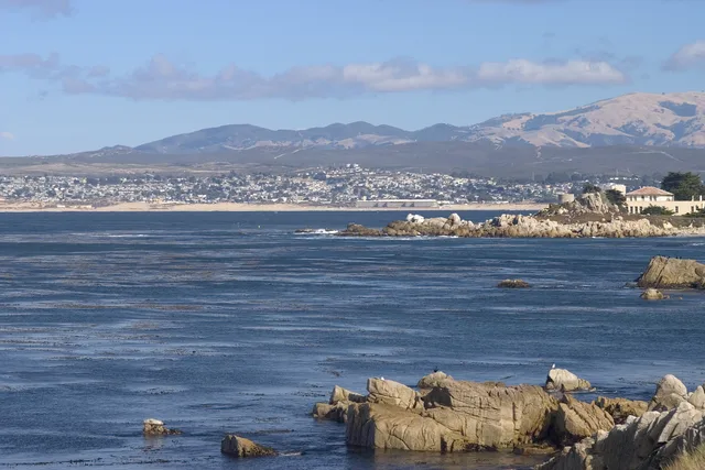
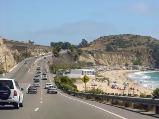

Have you ever seen the Efes Pilsener commercial where huge, foaming, deep-blue waves crash against jagged cliffs? Do you know where it was filmed?) That's right. Right here =) This place is called Us 1 Hwy or Us 1 route, and it's hard to imagine anyone saying it doesn't deserve to be number one! The road runs along the entire California coast right next to the ocean. But its most beautiful part is the stretch south of San Francisco - from Monterey Bay to Morro Bay. In some places, builders had to carve the road into the rock, and you drive along a very narrow path: on one side, a sheer cliff going up; on the other, a drop-off just as steep, and a huge, deep-blue ocean as far as the eye can see... I have never seen water that blue anywhere else. It's exactly what you imagine when you hear the phrase "deep blue sea water." Not light blue, not azure, but a rich, saturated blue. In some spots, you can get out and try to climb down. The waves crash furiously against the rocks, sending thousands upon thousands of sprays upward, though from above they seem quite safe. In reality, it's a wall of water 3-4 meters high. Pure, raw nature. Water. Rocks. Nothing extra.) We were there for two days, as one of them was covered in thick fog, and we couldn't see a thing—we were afraid not just to drive fast, but to drive at all.. The next day, the fog cleared a bit, and we rushed to explore the surroundings. The coastline, covered in sand and seaweed, winds whimsically at the foot of the cliffs. Here and there, lagoons, bays, and long beaches form. In other places, cliffs drop hundreds of meters down, and you need real courage just to stick your head out of the car. Especially towards evening=) Sometimes the road crosses numerous bridges over gorges, and sometimes it descends to flat stretches. It runs into the fog, then suddenly pops out into the sun. Colonies of birds nesting, it seems, right on top of each other, rocky islands in the clouds and without them, and so on. In short, this road is unlikely to let you get bored in good weather.. Morro Bay is nice, but if you don't have time to reach it, don't worry—just drive at least 80 km to get a feel for it. You can stop at one of the wild little hotels if you want and climb down—they have some trails and stairs there. Otherwise, in the rockiest places, it's hardly possible. The way we went down for the sunset, I think, will stay with all of us for a long time. Probably one of my most cherished memories of America. By the way, this is where the most expensive gas in the USA is. With an average price of 2.5, we saw 5.99 in one place. Maybe choose cool spots by gas price?)) The main thing is to catch it in sunny weather, so drive around and seize the moment when there is no fog, because for us, those moments were very short-lived. The California summer was still in full swing, along with its crazy humidity swings on the coast...)) You can leave your swim trunks behind—you'll only want to swim in the best-case scenario. These beaches have some of the best shores for surfers in the world in terms of waves, and some of the worst in terms of water temperature. So, girls, the sexiness of the surfers will be securely covered by a warming wetsuit))) Anyway, after spending two days searching for sunny spots (locals said we were really unlucky with the weather), we headed further and further north, to the land of volcanoes...


 +2