- 距离
- 22公里
玛丽娜 · 美国
蒙特雷灣: 周边有什么、如何前往、何时最合适 · 2026年
Settling along this shoreline means planning daily commutes around coastal highway bottlenecks and relying on regional road transit to reach larger metro centers.
周边3
汇率$1.00截至 2026年11月2日
关于此地
The shoreline defines everyday regional transit along central California.
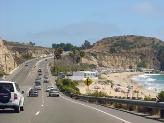
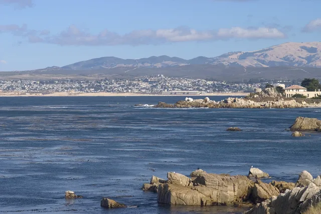
Monterey Bay forms an open indentation of the Pacific Ocean south of the San Francisco Bay Area. Daily travel between shoreline settlements relies heavily on primary coastal corridors, meaning routine drives depend entirely on conditions along CA 1 and US 101.
继续阅读
Residents looking toward major metropolitan hubs head north toward San Francisco along these arterial highways. The surrounding communities also supplied the official designation for Apple desktop computer operating software known as macOS Monterey.
相关组织
- CA 1
- macOS Monterey
- Highway reliance
事实信息
- Monterey Bay opens onto the Pacific Ocean south of the San Francisco Bay Area.
- San Francisco lies north along highway connections via CA 1 and US 101.
- Apple named its desktop release macOS Monterey after this coastal area.
蒙特雷灣 的影像8 张照片 · 1 个地点
交通与住宿
2 个来源 · 截至 2026年11月4日
来源:TravelHub · OurAirports (public domain)