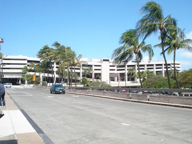
 Daniel K. Inouye International Airport
- Distance
- 6,449 km
 TravelHub
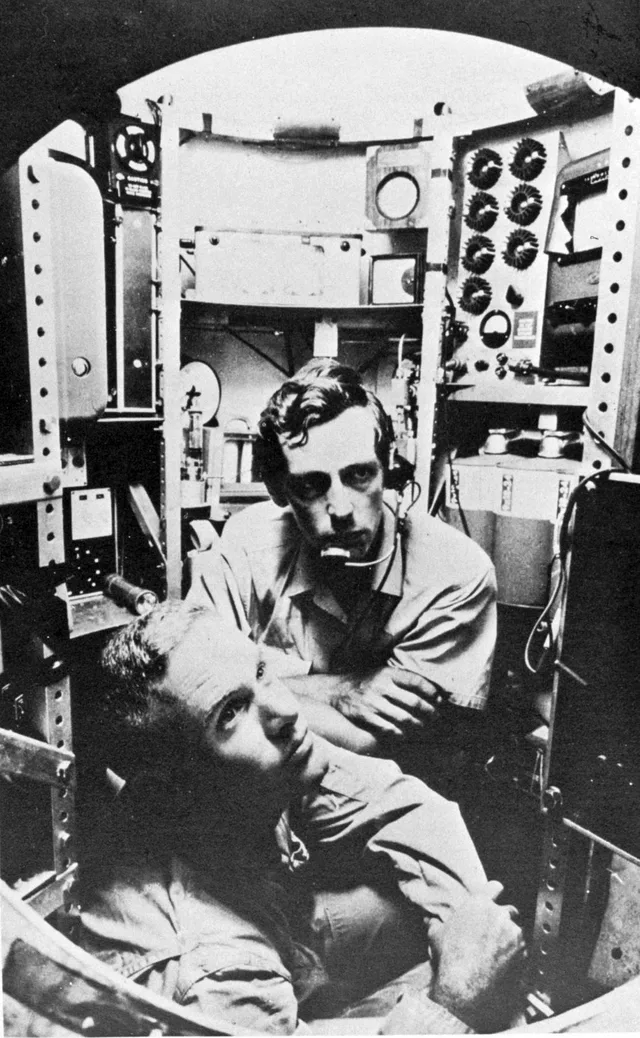
Expeditions to this oceanic floor demand specialized submersibles, making direct research dependent entirely on dedicated research vessels.
 Metropolitan Museum of Art
 Wall Street
 White House
 World Trade Center
 Brooklyn Bridge
 Central Park
 Empire State Building
 Golden Gate Bridge
 John F. Kennedy International Airport
 Statue of Liberty
 The Pentagon
 Willis Tower
 Brooklyn Museum
 Getty Center
 J. Paul Getty Museum
 Museum of Modern Art
 Solomon R. Guggenheim Museum
 Bronx Zoo
 Gateway Arch
 Lumen Field
 Mercedes-Benz Stadium
 Reliant Stadium
 United Center
 Broadway
 Headquarters of the United Nations
 Rockefeller Center
 7 World Trade Center
 875 North Michigan Avenue
 American Museum of Natural History
 Aon Center
 Art Institute of Chicago
 AT&T Stadium
 Bank of America Tower
 Capital One Arena
 Carnegie Hall
 Chrysler Building
 Coney Island
 Daniel K. Inouye International Airport
 Disneyland
 Fifth Avenue
 Flatiron Building
 Grand Central Terminal
 Indianapolis Motor Speedway
 LaGuardia Airport
 Levi's Stadium
 Madison Square Garden
 Manhattan Bridge
 New Amsterdam
 New York Times Building
 Newark Liberty International Airport
 One World Trade Center
 Rock and Roll Hall of Fame
 Space Needle
 St. Patrick's Cathedral
 Times Square
 Trump Tower
 United States Naval Academy
 Woolworth Building
Crescent-shaped contours trace the western Pacific ocean bed east of the Mariana Islands. Scientific surveys rely on multi-beam sonar systems to map submerged valleys and former seamounts across the floor. Autonomous remotely operated vehicles deploy alongside specialized bathyscaphes to reach the floor without imploding under load.
Subsurface water cycles draw seismic research teams deploying hydrophones directly onto the ocean bed. Crewed missions remain exceedingly rare due to immense structural pressures encountered miles below surface level. Logistical planning centers on shipboard facilities since the environment excludes normal station living completely.
What visitors say on Google Maps
Rating and recent reviews from Google Maps load on request.
Daniel K. Inouye International Airport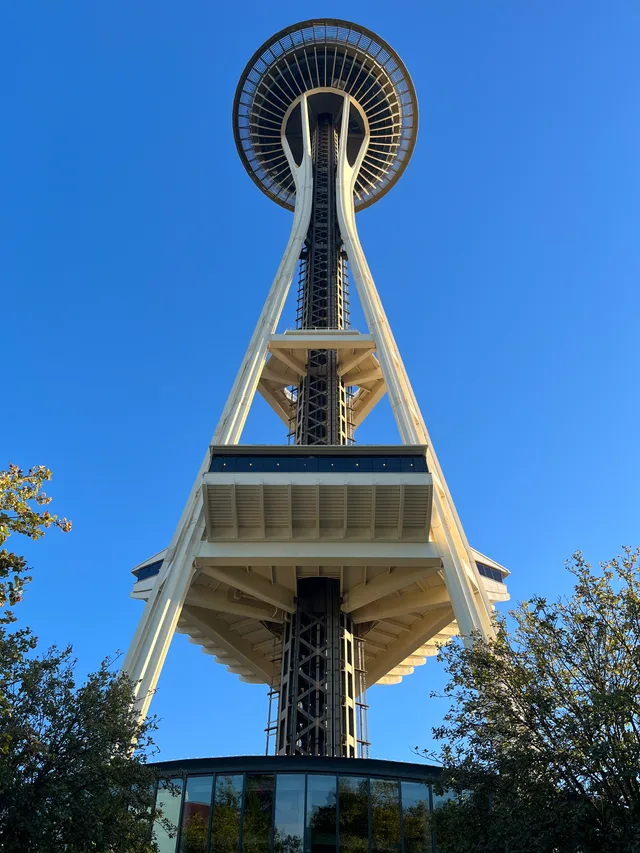 Space Needle
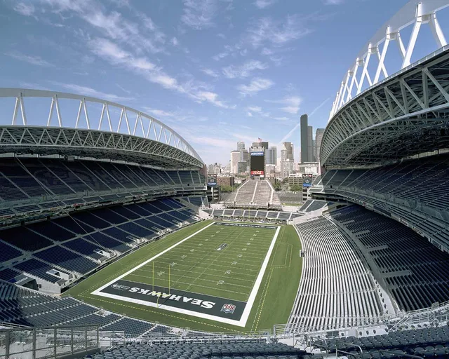 Lumen Field
Can’t find the place you need? Search understands any language. Open search