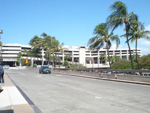
 Aeroporto Internacional de Honolulu
- Distância
- 6.449 km
 TravelHub
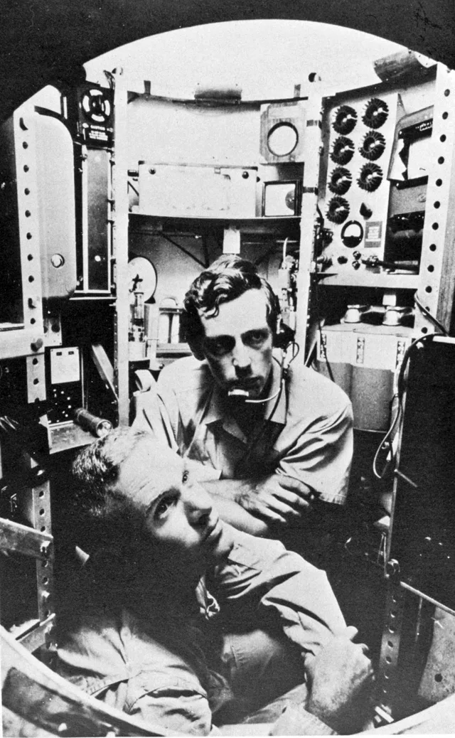
Expeditions to this oceanic floor demand specialized submersibles, making direct research dependent entirely on dedicated research vessels.
 Metropolitan Museum of Art
 Wall Street
 Casa Branca
 World Trade Center
 Ponte do Brooklyn
 Central Park
 Empire State Building
 Ponte Golden Gate
 Aeroporto Internacional John F. Kennedy
 Estátua da Liberdade
 O Pentágono
 Willis Tower
 Brooklyn Museum
 Getty Center
 Museu J. Paul Getty
 Museu de Arte Moderna
 Museu Solomon R. Guggenheim
 Zoológico do Bronx
 Gateway Arch
 Lumen Field
 Mercedes-Benz Stadium
 Reliant Stadium
 United Center
 Broadway
 Sede da Organização das Nações Unidas
 Rockefeller Center
 7 World Trade Center
 John Hancock Center
 Museu Americano de História Natural
 Aon Center
 Art Institute of Chicago
 AT&T Stadium
 Bank of America Tower
 Capital One Arena
 Carnegie Hall
 Chrysler Building
 Coney Island
 Aeroporto Internacional de Honolulu
 Disneyland
 Quinta Avenida
 Flatiron Building
 Grand Central
 Indianapolis Motor Speedway
 Aeroporto de LaGuardia
 Levi's Stadium
 Madison Square Garden
 Ponte de Manhattan
 Nova Amesterdão
 New York Times Building
 Aeroporto Internacional de Newark
 One World Trade Center
 Rock and Roll Hall of Fame
 Obelisco Espacial
 Catedral de São Patrício
 Times Square
 Trump Tower
 Academia Naval dos Estados Unidos
 Woolworth Building
Crescent-shaped contours trace the western Pacific ocean bed east of the Mariana Islands. Scientific surveys rely on multi-beam sonar systems to map submerged valleys and former seamounts across the floor. Autonomous remotely operated vehicles deploy alongside specialized bathyscaphes to reach the floor without imploding under load.
Subsurface water cycles draw seismic research teams deploying hydrophones directly onto the ocean bed. Crewed missions remain exceedingly rare due to immense structural pressures encountered miles below surface level. Logistical planning centers on shipboard facilities since the environment excludes normal station living completely.
O que os visitantes escrevem no Google Maps
A nota e as avaliações recentes do Google Maps carregam quando você pedir.
Aeroporto Internacional de Honolulu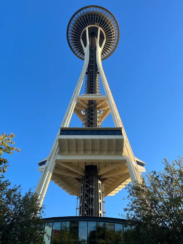 Obelisco Espacial
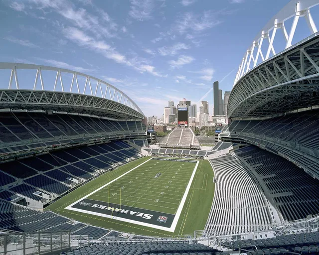 Lumen Field
Não encontrou o local que precisa? A pesquisa entende qualquer idioma. Abrir pesquisa