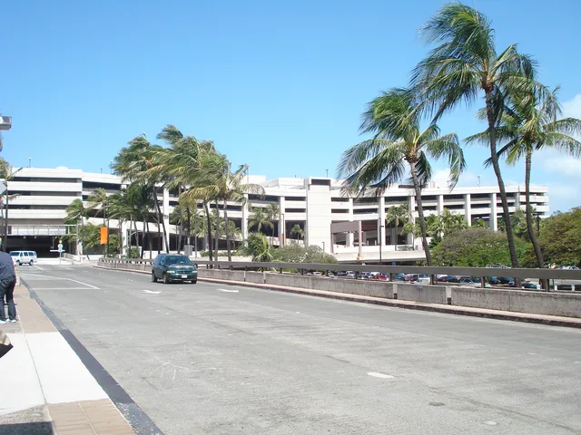
 ჰონოლულუ
- მანძილი
- 6449 კმ
 TravelHub
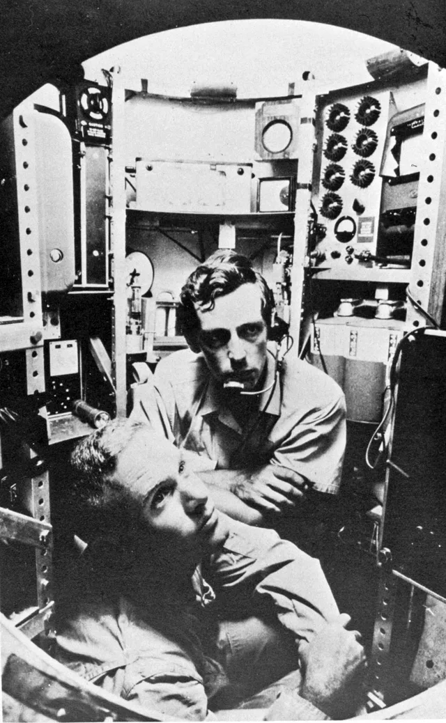
Expeditions to this oceanic floor demand specialized submersibles, making direct research dependent entirely on dedicated research vessels.
 მეტროპოლიტენის ხელოვნების მუზეუმი
 უოლ-სტრიტი
 თეთრი სახლი
 მსოფლიო სავაჭრო ცენტრი
 ბრუკლინის ხიდი
 ცენტრალ-პარკი
 ემპაირ სტეიტ ბილდინგი
 ოქროს კარიბჭე
 John F. Kennedy International Airport
 თავისუფლების ქანდაკება
 პენტაგონი
 უილის ტაუერი
 ბრუკლინის მუზეუმი
 გეტის ცენტრი
 პოლ გეტის მუზეუმი
 თანამედროვე ხელოვნების მუზეუმი
 გუგენჰაიმის მუზეუმი
 ბრონქსის ზოოპარკი
 Gateway Arch
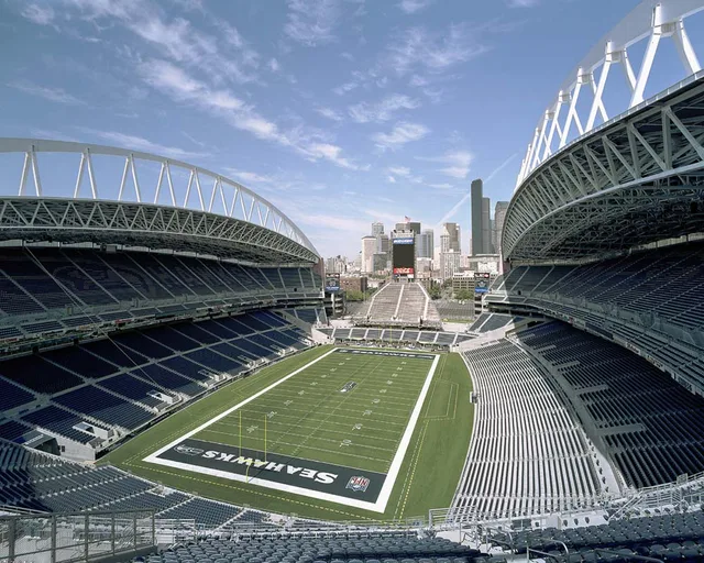
 Lumen Field
 Mercedes-Benz Stadium
 Reliant Stadium
 United Center
 ბროდვეი
 გაეროს შტაბ-ბინა
 როკფელერის ცენტრი
 7 მსოფლიო სავაჭრო ცენტრი
 ჯონ ჰენკოკის ცენტრი
 ამერიკის ბუნების ისტორიის მუზეუმი
 Aon Center
 ჩიკაგოს ხელოვნების ინსტიტუტი
 AT&T Stadium
 Bank of America Tower
 Capital One Arena
 კარნეგი-ჰოლი
 კრაისლერ ბილდინგი
 კონი-აილენდი
 ჰონოლულუ
 დისნეილენდი
 მეხუთე ავენიუ
 ფლატირონ ბილდინგი
 გრანდ სენტრალ ტერმინალი
 Indianapolis Motor Speedway
 LaGuardia Airport
 Levi's Stadium
 მედისონ-სკვერ-გარდენი
 მანჰეტენის ხიდი
 ახალი ამსტერდამი
 ნიუ-იორკ ტაიმზ ბილდინგი
 Newark Liberty International Airport
 ერთი მსოფლიო სავაჭრო ცენტრი
 როკ-ენ-როლის დიდების დარბაზი
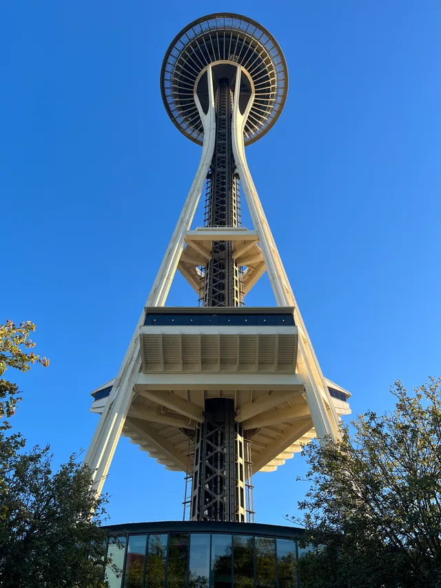
 სპეის ნიდლი
 წმინდა პატრიკის საკათედრო ტაძარი
 ტაიმზ-სქვერი
 ტრამპ-ტაუერი
 აშშ-ის საზღვაო აკადემია
 ვულუორზ ბილდინგი
Crescent-shaped contours trace the western Pacific ocean bed east of the Mariana Islands. Scientific surveys rely on multi-beam sonar systems to map submerged valleys and former seamounts across the floor. Autonomous remotely operated vehicles deploy alongside specialized bathyscaphes to reach the floor without imploding under load.
Subsurface water cycles draw seismic research teams deploying hydrophones directly onto the ocean bed. Crewed missions remain exceedingly rare due to immense structural pressures encountered miles below surface level. Logistical planning centers on shipboard facilities since the environment excludes normal station living completely.
რას წერენ ვიზიტორები Google Maps-ზე
Google Maps-ის რეიტინგი და ახალი შეფასებები მოთხოვნისას ჩაიტვირთება.
ვერ პოულობთ სასურველ ადგილს? საძიებო სისტემას ნებისმიერი ენის ესმის. ძიების გახსნა