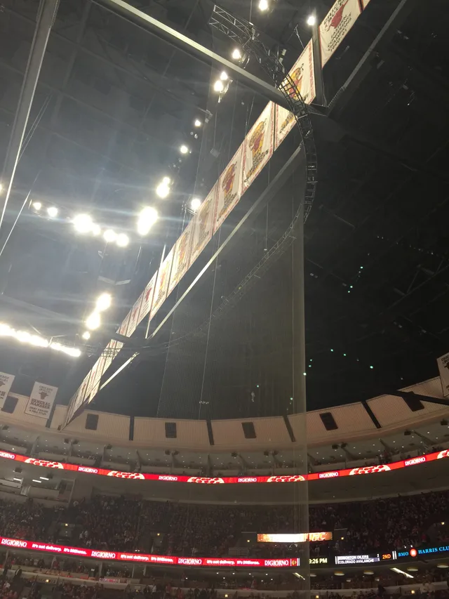
 United Center
- Distância
- 843 km
 TravelHub
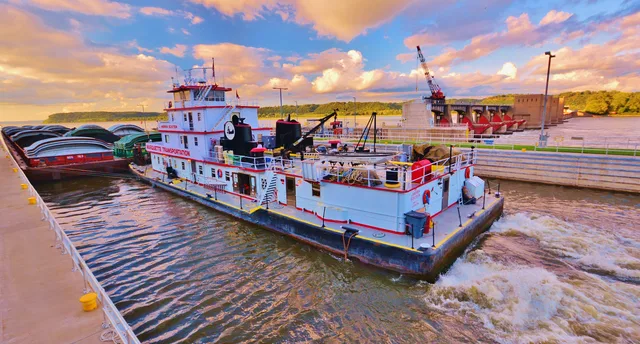
Living along the main stem means tracking seasonal crests and river barge schedules that shape local road crossings and water quality.
 Metropolitan Museum of Art
 Wall Street
 Casa Branca
 World Trade Center
 Ponte do Brooklyn
 Central Park
 Empire State Building
 Ponte Golden Gate
 Aeroporto Internacional John F. Kennedy
 Estátua da Liberdade
 O Pentágono
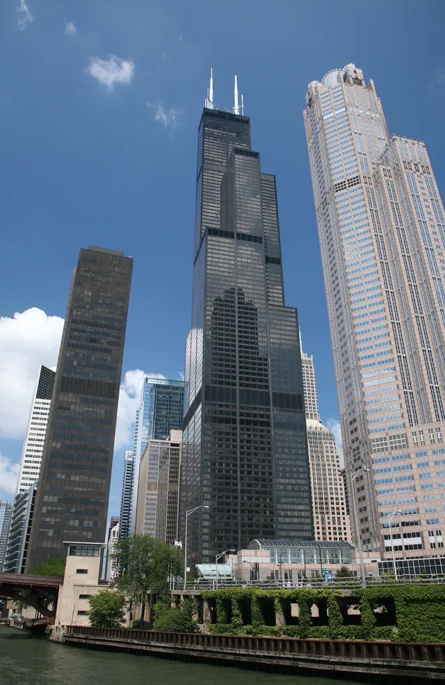
 Willis Tower
 Brooklyn Museum
 Getty Center
 Museu J. Paul Getty
 Museu de Arte Moderna
 Museu Solomon R. Guggenheim
 Zoológico do Bronx
 Gateway Arch
 Lumen Field
 Mercedes-Benz Stadium
 Reliant Stadium
 United Center
 Broadway
 Sede da Organização das Nações Unidas
 Rockefeller Center
 7 World Trade Center
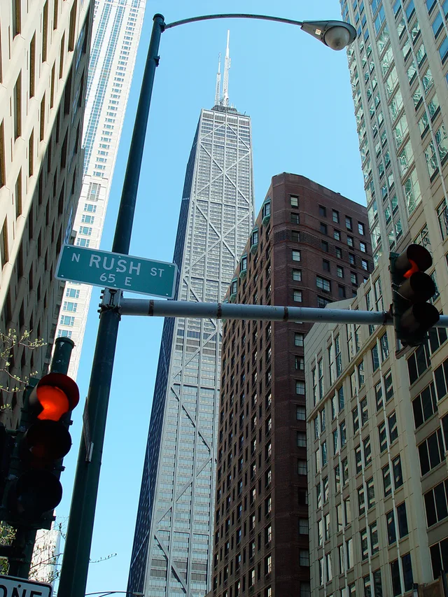
 John Hancock Center
 Museu Americano de História Natural
 Aon Center
 Art Institute of Chicago
 AT&T Stadium
 Bank of America Tower
 Capital One Arena
 Carnegie Hall
 Chrysler Building
 Coney Island
 Aeroporto Internacional de Honolulu
 Disneyland
 Quinta Avenida
 Flatiron Building
 Grand Central
 Indianapolis Motor Speedway
 Aeroporto de LaGuardia
 Levi's Stadium
 Madison Square Garden
 Ponte de Manhattan
 Nova Amesterdão
 New York Times Building
 Aeroporto Internacional de Newark
 One World Trade Center
 Rock and Roll Hall of Fame
 Obelisco Espacial
 Catedral de São Patrício
 Times Square
 Trump Tower
 Academia Naval dos Estados Unidos
 Woolworth Building
The river functions as the primary drainage route for the interior continent, fed by tributaries between two major mountain systems. Beginning at Lake Itasca, it carries runoff through central plains and bottomland forests toward the Gulf of Mexico, cutting borders across ten distinct administrative territories and sustaining extensive agricultural valleys.
Long before modern barge transit, native farming groups along the basin domesticated crops and established dense river communities such as Cahokia. The modern corridor remains exposed to heavy sedimentation and changing water stages, requiring settlements along the bluffs to maintain levee networks and manage seasonal shifts in navigability.
Não encontrou o local que precisa? A pesquisa entende qualquer idioma. Abrir pesquisa