




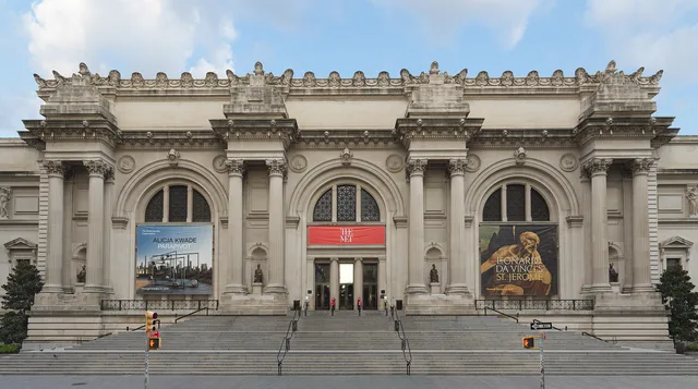
 ≈ 5 min de distânciaMetropolitan Museum of Art
- Distância
- 400 m
 TravelHub
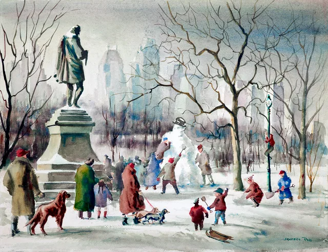
Tenants living along the park borders walk between the Upper West Side and the Upper East Side to bypass subway detours.
The park sits between the Upper West Side and the Upper East Side, functioning as the primary green barrier across central Manhattan. Public administration operates through a partnership between municipal authorities and the Central Park Conservancy, a non-profit entity that finances daily maintenance and sets the operating budget. Long-term residents treat the interior grounds as an everyday buffer against city noise.
Land acquisition displaced established settlements across the tract, including Seneca Village, where African American freeholders and Irish immigrants owned property before municipal evictions under eminent domain. Planners chose the central territory partly around an existing Croton Aqueduct reservoir. Modern walkers still encounter exposed bedrock ridges and early survey markers left behind before the formal landscaping took shape.
Sunken transverse roadways carry crosstown traffic below ground level, keeping automotive noise separated from pedestrian footpaths. These sunken corridors stay open through the night even when the main park grounds close. Subway corridors flank the western and southern borders, while crosstown buses use the below-grade transverses to bypass surface intersections across Manhattan.
O que os visitantes escrevem no Google Maps
A nota e as avaliações recentes do Google Maps carregam quando você pedir.
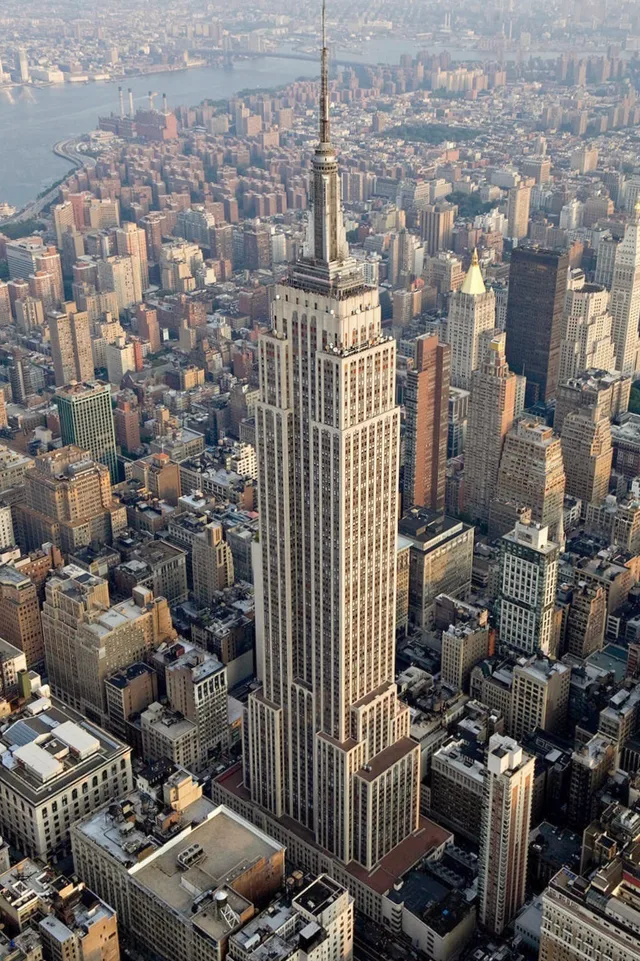 ≈ 50 min de distânciaEmpire State Building
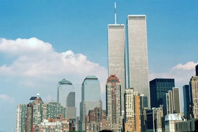 ≈ 30 min de distânciaWorld Trade Center
Não encontrou o local que precisa? A pesquisa entende qualquer idioma. Abrir pesquisa