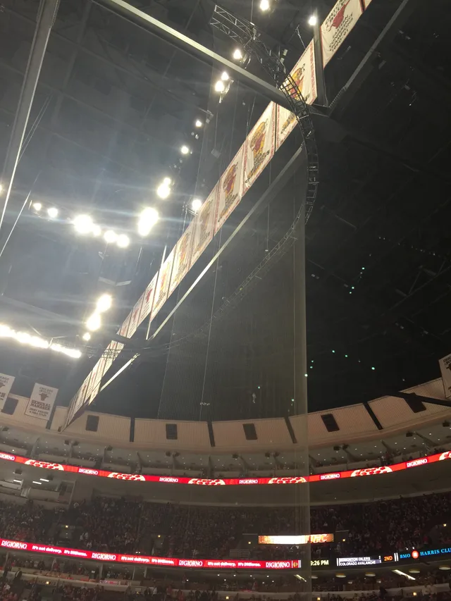
 United Center
- Distancia
- 843 km
 TravelHub
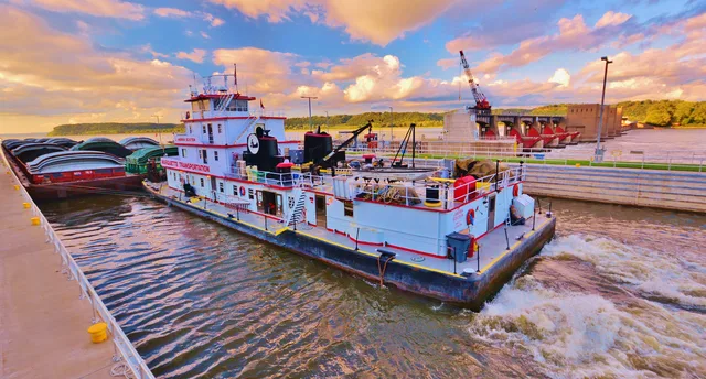
Living along the main stem means tracking seasonal crests and river barge schedules that shape local road crossings and water quality.
 Museo Metropolitano de Arte
 Wall Street
 Casa Blanca
 World Trade Center
 Puente de Brooklyn
 Central Park
 Empire State Building
 puente Golden Gate
 Aeropuerto Internacional John F. Kennedy
 Estatua de la Libertad
 El Pentágono
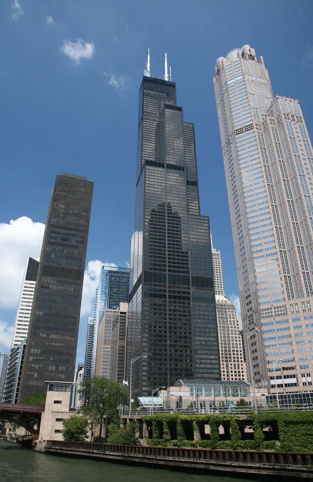
 Sears Tower
 Museo Brooklyn
 Getty Center
 Museo J. Paul Getty
 Museo de Arte Moderno
 Museo Solomon R. Guggenheim
 Zoológico del Bronx
 Arco Gateway
 Lumen Field
 Mercedes-Benz Stadium
 Estadio Reliant
 United Center
 Broadway
 Sede de la Organización de las Naciones Unidas
 Rockefeller Center
 World Trade Center 7
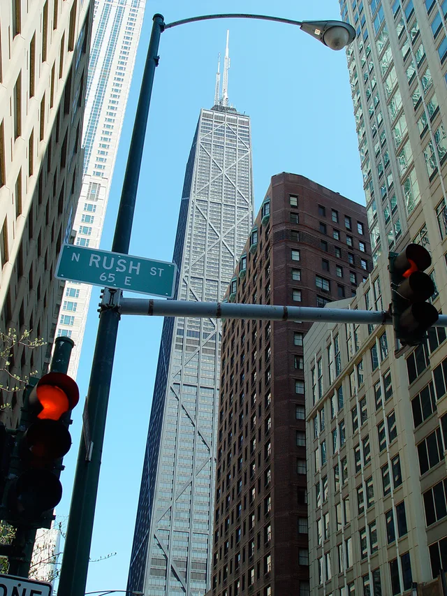
 875 North Michigan Avenue
 Museo Americano de Historia Natural
 Aon Center
 Instituto de Arte de Chicago
 AT&T Stadium
 Bank of America Tower
 Capital One Arena
 Carnegie Hall
 Edificio Chrysler
 Coney Island
 Aeropuerto Internacional de Honolulu
 Disneyland
 Quinta Avenida
 Edificio Flatiron
 Grand Central Terminal
 Indianapolis Motor Speedway
 Aeropuerto LaGuardia
 Levi's Stadium
 Madison Square Garden
 puente de Manhattan
 Nueva Ámsterdam
 Edificio New York Times
 Aeropuerto Internacional Libertad de Newark
 One World Trade Center
 Salón de la Fama del Rock
 Space Needle
 Catedral de San Patricio de Nueva York
 Times Square
 Trump Tower
 Academia Naval de los Estados Unidos
 Woolworth Building
The river functions as the primary drainage route for the interior continent, fed by tributaries between two major mountain systems. Beginning at Lake Itasca, it carries runoff through central plains and bottomland forests toward the Gulf of Mexico, cutting borders across ten distinct administrative territories and sustaining extensive agricultural valleys.
Long before modern barge transit, native farming groups along the basin domesticated crops and established dense river communities such as Cahokia. The modern corridor remains exposed to heavy sedimentation and changing water stages, requiring settlements along the bluffs to maintain levee networks and manage seasonal shifts in navigability.
¿No encuentras el lugar que necesitas? La búsqueda entiende cualquier idioma. Abrir búsqueda