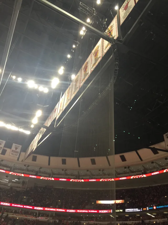
 United Center
- Mesafe
- 843 km
 TravelHub
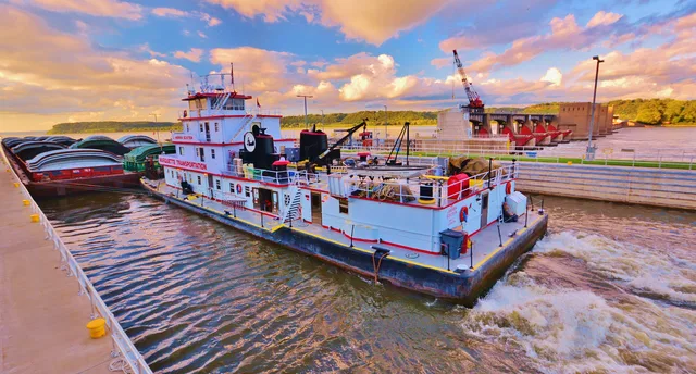
Living along the main stem means tracking seasonal crests and river barge schedules that shape local road crossings and water quality.
 Metropolitan Museum of Art
 Wall Street
 Beyaz Saray
 Dünya Ticaret Merkezi
 Brooklyn Köprüsü
 Central Park
 Empire State Binası
 Golden Gate Köprüsü
 John F. Kennedy Uluslararası Havalimanı
 Özgürlük Heykeli
 Pentagon
 Willis Kulesi
 Brooklyn Müzesi
 Getty Center
 J. Paul Getty Müzesi
 Museum of Modern Art
 Solomon R. Guggenheim Müzesi
 Bronx Hayvanat Bahçesi
 Gateway Arch
 Lumen Field
 Mercedes-Benz Stadyumu
 NRG Stadyumu
 United Center
 Broadway
 Birleşmiş Milletler Genel Merkezi
 Rockefeller Center
 7 Dünya Ticaret Merkezi
 John Hancock Merkezi
 Amerikan Doğa Tarihi Müzesi
 Aon Merkezi
 Art Institute of Chicago
 AT&T Stadyumu
 Bank of America Kulesi
 Verizon Center
 Carnegie Hall
 Chrysler Binası
 Coney Adası
 Daniel K. Inouye International Airport
 Disneyland
 Beşinci Cadde
 Flatiron Binası
 Grand Central Terminali
 Indianapolis Motor Speedway
 LaGuardia Havalimanı
 Levi's Stadyumu
 Madison Square Garden
 Manhattan Köprüsü
 Nieuw Amsterdam
 New York Times Binası
 Newark Liberty Uluslararası Havalimanı
 Özgürlük Kulesi
 Rock and Roll Hall of Fame
 Space Needle
 Aziz Patrik Katedrali, New York
 Times Square
 Trump Tower
 ABD Deniz Harp Okulu
 Woolworth Building
The river functions as the primary drainage route for the interior continent, fed by tributaries between two major mountain systems. Beginning at Lake Itasca, it carries runoff through central plains and bottomland forests toward the Gulf of Mexico, cutting borders across ten distinct administrative territories and sustaining extensive agricultural valleys.
Long before modern barge transit, native farming groups along the basin domesticated crops and established dense river communities such as Cahokia. The modern corridor remains exposed to heavy sedimentation and changing water stages, requiring settlements along the bluffs to maintain levee networks and manage seasonal shifts in navigability.
Aradığınız yeri bulamadınız mı? Arama motoru her dili anlar. Aramayı aç