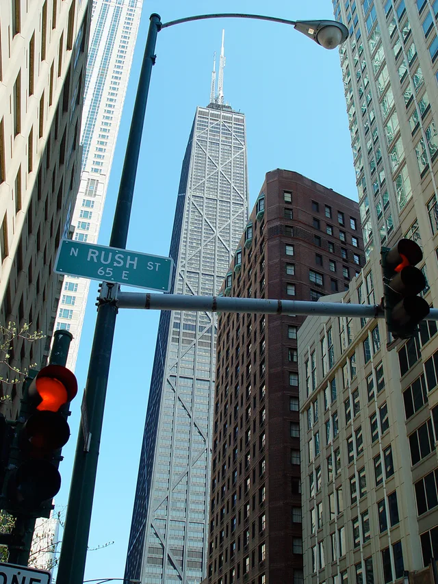
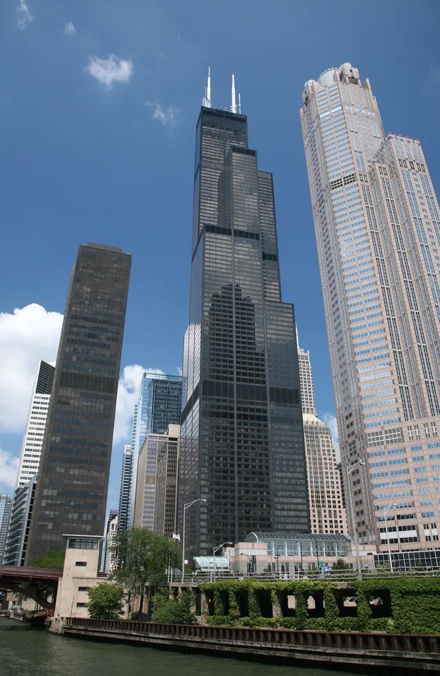
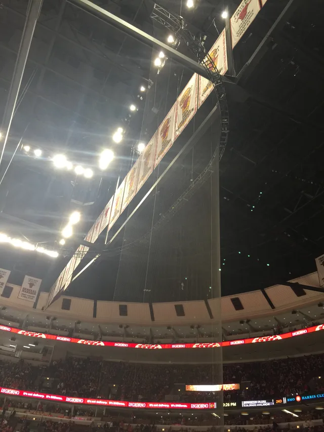
 联合中心
- 距离
- 843公里
 TravelHub
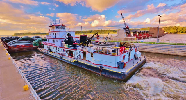
Living along the main stem means tracking seasonal crests and river barge schedules that shape local road crossings and water quality.
 大都會藝術博物館
 华尔街
 白宮
 世界贸易中心
 布魯克林大橋
 中央公園
 帝國大廈
 金门大桥
 約翰·菲茨傑拉德·甘迺迪國際機場
 自由女神像
 五角大樓
 威利斯大廈
 布鲁克林博物馆
 盖蒂中心
 保罗·盖蒂博物馆
 現代藝術博物館
 所羅門·古根漢美術館
 布隆克斯動物園
 聖路易斯拱門
 流明球場
 梅賽德斯-賓士體育場
 NRG體育場
 联合中心
 百老匯
 联合国总部大楼
 洛克菲勒中心
 世界貿易中心七號大樓
 約翰漢考克中心
 美國自然史博物館
 芝加哥怡安中心
 芝加哥艺术博物馆
 AT&T體育場
 美國銀行大廈
 第一資本競技館
 卡内基大厅
 克萊斯勒大廈
 康尼島
 丹尼爾·K·井上國際機場
 加州迪士尼主題樂園
 第五大道
 熨斗大廈
 大中央車站
 印第安納波利斯賽車場
 拉瓜地亞機場
 李維斯體育場
 麦迪逊广场花园
 曼哈頓大橋
 新阿姆斯特丹
 紐約時報大廈
 紐華克自由國際機場
 世界貿易中心一號大樓
 摇滚名人堂
 太空針塔
 圣巴特里爵主教座堂
 時報廣場
 杜林普大廈
 美国海军学院
 伍爾沃斯大樓
The river functions as the primary drainage route for the interior continent, fed by tributaries between two major mountain systems. Beginning at Lake Itasca, it carries runoff through central plains and bottomland forests toward the Gulf of Mexico, cutting borders across ten distinct administrative territories and sustaining extensive agricultural valleys.
Long before modern barge transit, native farming groups along the basin domesticated crops and established dense river communities such as Cahokia. The modern corridor remains exposed to heavy sedimentation and changing water stages, requiring settlements along the bluffs to maintain levee networks and manage seasonal shifts in navigability.
没找到心仪的目的地?搜索功能支持任何语言。 打开搜索