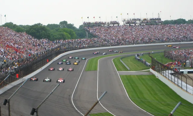
 Indianapolis Motor Speedway
- Distância
- 290 km
 TravelHub
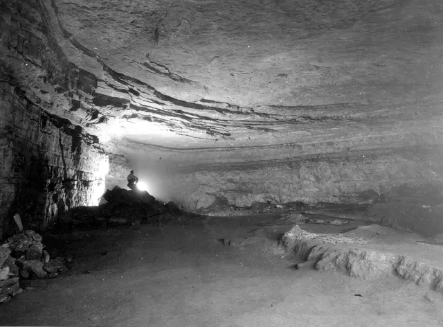
Living near the boundary means adjusting routines to forest terrain, river crossings, and strictly managed subsurface research areas.
 Metropolitan Museum of Art
 Wall Street
 Casa Branca
 World Trade Center
 Ponte do Brooklyn
 Central Park
 Empire State Building
 Ponte Golden Gate
 Aeroporto Internacional John F. Kennedy
 Estátua da Liberdade
 O Pentágono
 Willis Tower
 Brooklyn Museum
 Getty Center
 Museu J. Paul Getty
 Museu de Arte Moderna
 Museu Solomon R. Guggenheim
 Zoológico do Bronx
 Gateway Arch
 Lumen Field
 Mercedes-Benz Stadium
 Reliant Stadium
 United Center
 Broadway
 Sede da Organização das Nações Unidas
 Rockefeller Center
 7 World Trade Center
 John Hancock Center
 Museu Americano de História Natural
 Aon Center
 Art Institute of Chicago
 AT&T Stadium
 Bank of America Tower
 Capital One Arena
 Carnegie Hall
 Chrysler Building
 Coney Island
 Aeroporto Internacional de Honolulu
 Disneyland
 Quinta Avenida
 Flatiron Building
 Grand Central
 Indianapolis Motor Speedway
 Aeroporto de LaGuardia
 Levi's Stadium
 Madison Square Garden
 Ponte de Manhattan
 Nova Amesterdão
 New York Times Building
 Aeroporto Internacional de Newark
 One World Trade Center
 Rock and Roll Hall of Fame
 Obelisco Espacial
 Catedral de São Patrício
 Times Square
 Trump Tower
 Academia Naval dos Estados Unidos
 Woolworth Building
Subsurface corridors cut through Kentucky bedrock, shaped by waterways like Green River and Nolin River. Long-term researchers and seasonal staff operate within a humid subtropical climate where subterranean sections maintain a stable interior atmosphere, isolated from regional surface temperatures and weather swings.
Human passage through the caverns spans indigenous mining eras to modern scientific excavations. Pre-Columbian miners left behind woven slippers, torch fragments, and deliberate burials across the Flint Ridge and Salts Cave passages, requiring strict federal legal protections against disturbing subsurface materials.
Indianapolis Motor Speedway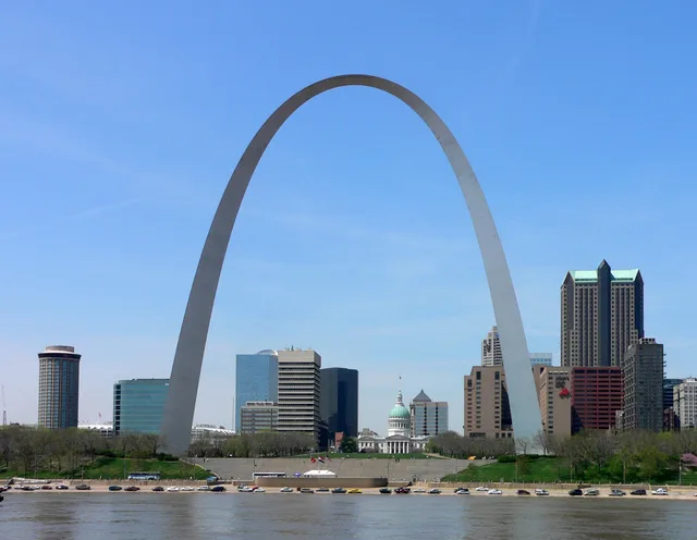 Gateway Arch
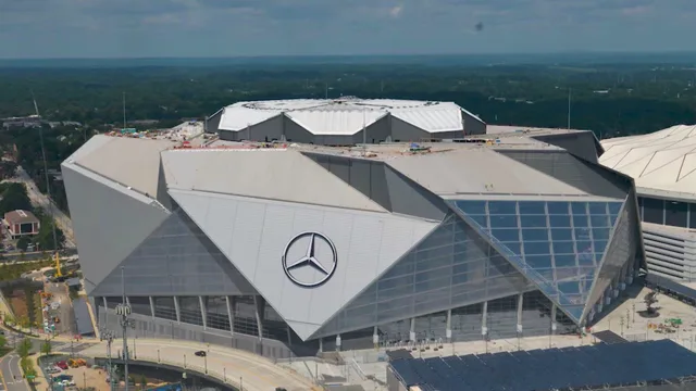 Mercedes-Benz Stadium
Não encontrou o local que precisa? A pesquisa entende qualquer idioma. Abrir pesquisa