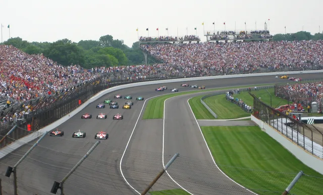
 Indianapolis Motor Speedway
- Odległość
- 290 km
 TravelHub
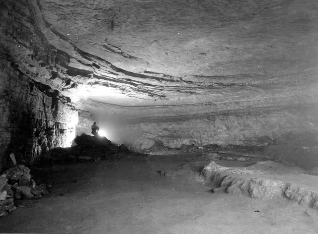
Living near the boundary means adjusting routines to forest terrain, river crossings, and strictly managed subsurface research areas.
 Metropolitan Museum of Art
 Wall Street
 Biały Dom
 World Trade Center
 Most Brookliński
 Central Park
 Empire State Building
 most Golden Gate
 port lotniczy Johna F. Kennedy’ego
 Statua Wolności
 Pentagon
 Willis Tower
 Brooklyn Museum
 Getty Center
 J. Paul Getty Museum
 Museum of Modern Art
 Muzeum Guggenheima w Nowym Jorku
 Bronx Zoo
 Gateway Arch
 Lumen Field
 Mercedes-Benz Stadium
 NRG Stadium
 United Center
 Broadway
 Siedziba Główna ONZ
 Rockefeller Center
 7 World Trade Center
 875 North Michigan Avenue
 Amerykańskie Muzeum Historii Naturalnej
 Aon Center
 Art Institute of Chicago
 AT&T Stadium
 Bank of America Tower
 Capital One Arena
 Carnegie Hall
 Chrysler Building
 Coney Island
 Port lotniczy Honolulu
 Disneyland
 Piąta Aleja
 Flatiron Building
 Grand Central Terminal
 Indianapolis Motor Speedway
 Port lotniczy LaGuardia
 Levi’s Stadium
 Madison Square Garden
 Manhattan Bridge
 Nowy Amsterdam
 New York Times Building
 port lotniczy Newark-Liberty
 One World Trade Center
 Rock and Roll Hall of Fame
 Space Needle
 Katedra św. Patryka w Nowym Jorku
 Times Square
 Trump Tower
 Stany Zjednoczone Naval Academy
 Woolworth Building
Subsurface corridors cut through Kentucky bedrock, shaped by waterways like Green River and Nolin River. Long-term researchers and seasonal staff operate within a humid subtropical climate where subterranean sections maintain a stable interior atmosphere, isolated from regional surface temperatures and weather swings.
Human passage through the caverns spans indigenous mining eras to modern scientific excavations. Pre-Columbian miners left behind woven slippers, torch fragments, and deliberate burials across the Flint Ridge and Salts Cave passages, requiring strict federal legal protections against disturbing subsurface materials.
Indianapolis Motor Speedway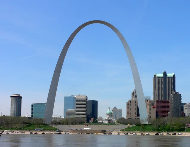 Gateway Arch
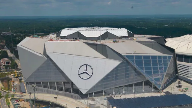 Mercedes-Benz Stadium
Nie możesz znaleźć miejsca, którego potrzebujesz? Wyszukiwarka rozumie każdy język. Otwórz wyszukiwarkę