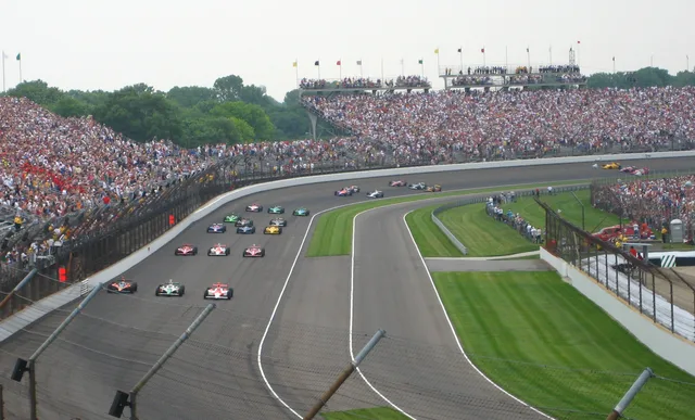
 Ράλι Ιντιανάπολις 500
- Απόσταση
- 290 χλμ.
 TravelHub
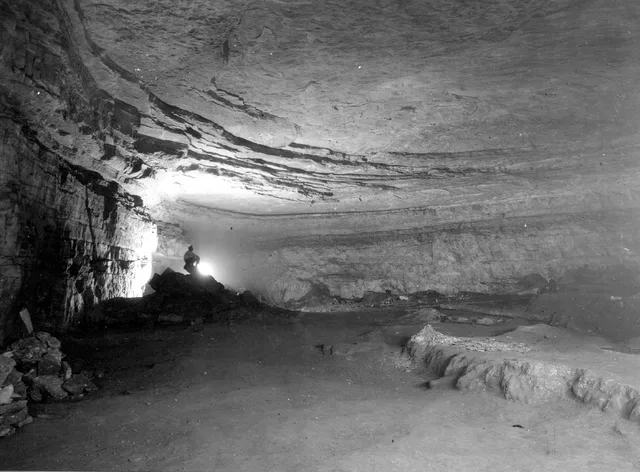
Living near the boundary means adjusting routines to forest terrain, river crossings, and strictly managed subsurface research areas.
 Μητροπολιτικό Μουσείο Τέχνης
 Γουόλ Στριτ
 Λευκός Οίκος
 Παγκόσμιο Κέντρο Εμπορίου
 Γέφυρα του Μπρούκλιν
 Σέντραλ Παρκ
 Εμπάιρ Στέιτ Μπίλντινγκ
 Γέφυρα Γκόλντεν Γκέιτ
 Διεθνές Αεροδρόμιο Τζον Κένεντι
 Άγαλμα της Ελευθερίας
 Πεντάγωνο
 Γουίλις Τάουερ
 Μουσείο του Μπρούκλιν
 Κέντρο Γκέτι
 Μουσείο Γκέτι
 Μουσείο Μοντέρνας Τέχνης της Νέας Υόρκης
 Μουσείο Γκούγκενχαϊμ
 Ζωολογικός κήπος του Μπρονξ
 Πύλη για τη Δύση
 Lumen Field
 Mercedes-Benz Stadium
 Στάδιο NRG
 United Center
 Μπρόντγουεϊ
 Headquarters of the United Nations
 Κέντρο Ρόκφελερ
 Παγκόσμιο Κέντρο Εμπορίου 7
 875 North Michigan Avenue
 Αμερικανικό Μουσείο Φυσικής Ιστορίας
 Aon Center
 Ινστιτούτο Τέχνης του Σικάγου
 Στάδιο AT&T
 Bank of America Tower
 Capital One Arena
 Κάρνεγκι Χολ
 Κτήριο Κράισλερ
 Κόνι Άιλαντ
 Daniel K. Inouye International Airport
 Disneyland
 5η Λεωφόρος
 Κτήριο Φλατάιρον
 Τερματικός Σταθμός Γκραντ Σέντραλ
 Ράλι Ιντιανάπολις 500
 Αεροδρόμιο ΛαΓκουάρντια
 Levi's Stadium
 Μάντισον Σκουέαρ Γκάρντεν
 Γέφυρα του Μανχάταν
 New Amsterdam
 Κτήριο της Νιου Γιορκ Τάιμς
 Διεθνές Αεροδρόμιο Νιούαρκ Λίμπερτι
 Παγκόσμιο Κέντρο Εμπορίου 1
 Rock and Roll Hall of Fame
 Space Needle
 St. Patrick's Cathedral
 Τάιμς Σκουέρ
 Trump Tower
 Ναυτική Ακαδημία των Ηνωμένων Πολιτειών Αμερικής
 Woolworth Building
Subsurface corridors cut through Kentucky bedrock, shaped by waterways like Green River and Nolin River. Long-term researchers and seasonal staff operate within a humid subtropical climate where subterranean sections maintain a stable interior atmosphere, isolated from regional surface temperatures and weather swings.
Human passage through the caverns spans indigenous mining eras to modern scientific excavations. Pre-Columbian miners left behind woven slippers, torch fragments, and deliberate burials across the Flint Ridge and Salts Cave passages, requiring strict federal legal protections against disturbing subsurface materials.
Ράλι Ιντιανάπολις 500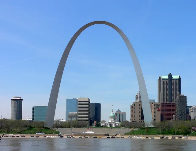 Πύλη για τη Δύση
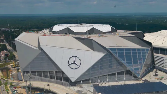 Mercedes-Benz Stadium
Δεν βρίσκετε το μέρος που ψάχνετε; Η αναζήτηση κατανοεί οποιαδήποτε γλώσσα. Άνοιγμα αναζήτησης