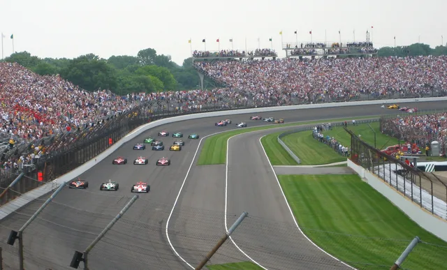
 Індіанаполіс Мотор Спідвей
- Відстань
- 290 км
 TravelHub
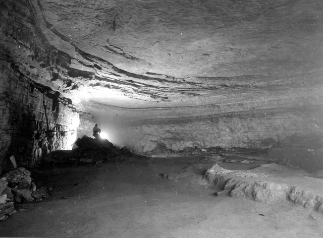
Living near the boundary means adjusting routines to forest terrain, river crossings, and strictly managed subsurface research areas.
 Музей мистецтва Метрополітен
 Волл-стріт
 Білий дім
 Всесвітній торговий центр
 Бруклінський міст
 Центральний парк
 Емпайр-Стейт-Білдінг
 Золота Брама
 Міжнародний аеропорт імені Джона Кеннеді
 Статуя Свободи
 Пентагон
 Вілліс Тауер
 Бруклінський музей
 Центр Ґетті
 Музей Ґетті
 Музей сучасного мистецтва
 Музей Соломона Ґуґґенгайма
 Bronx Zoo
 Арка Гейтвей
 Сенчурі Лінк Філд
 Мерседес-Бенц Стедіум
 NRG-Стедіум
 Юнайтед-центр
 Бродвей
 Штаб-квартира ООН
 Рокфеллерський центр
 Всесвітній торговий центр 7
 Джон Генкок Центр
 Американський музей природознавства
 Аон центр
 Художній інститут Чикаго
 AT&T стадіон
 Башта Банку Америки
 Верайзон-центр
 Карнегі-хол
 Крайслер Білдінг
 Коні-Айленд (Бруклін)
 Гонолулу
 Діснейленд
 П'ята авеню
 Праска
 Гранд-Сентрал-Стейшн
 Індіанаполіс Мотор Спідвей
 Аеропорт Ла-Гуардія
 Леві Стедіум
 Медісон-сквер-гарден
 Мангеттенський міст
 Новий Амстердам
 Будівля Нью-Йорк Таймс
 Міжнародний аеропорт Ньюарк Ліберті
 Всесвітній торговий центр 1
 Зала слави рок-н-ролу
 Space Needle
 собор Святого Патріка
 Таймс-Сквер
 Трамп-тауер
 Військово-морська Академія США
 Будинок Вулворт
Subsurface corridors cut through Kentucky bedrock, shaped by waterways like Green River and Nolin River. Long-term researchers and seasonal staff operate within a humid subtropical climate where subterranean sections maintain a stable interior atmosphere, isolated from regional surface temperatures and weather swings.
Human passage through the caverns spans indigenous mining eras to modern scientific excavations. Pre-Columbian miners left behind woven slippers, torch fragments, and deliberate burials across the Flint Ridge and Salts Cave passages, requiring strict federal legal protections against disturbing subsurface materials.
Індіанаполіс Мотор Спідвей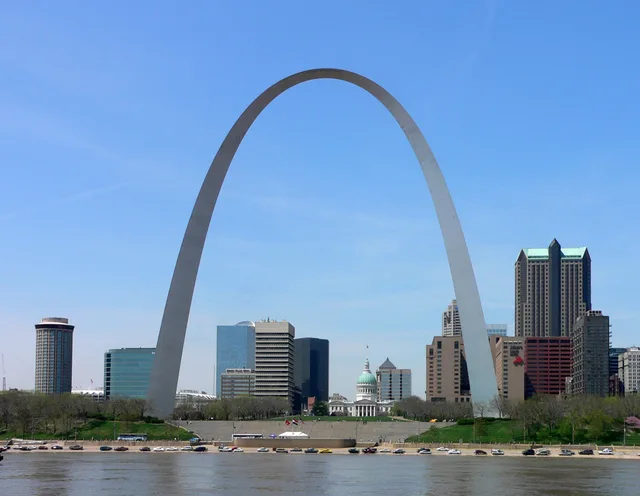 Арка Гейтвей
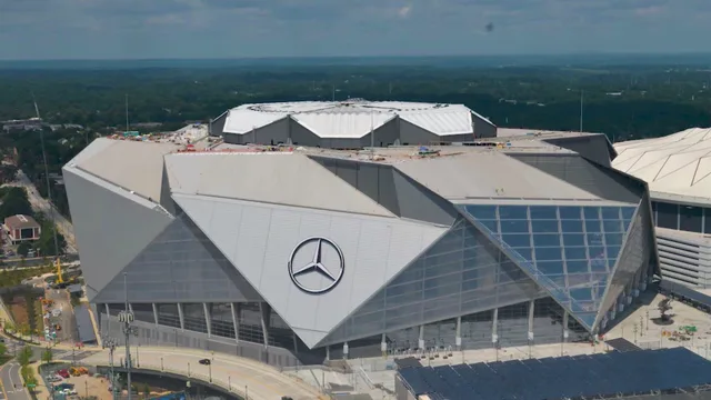 Мерседес-Бенц Стедіум
Не можете знайти потрібне місце? Пошук розуміє будь-яку мову. Відкрити пошук