 ≈ 3 घं॰ 55 मि॰ की दूरी परसैन जोस, कैलिफोर्निया
- महीना
- ≈ $5,502
- दूरी
- 525 कि॰मी॰
 TravelHub
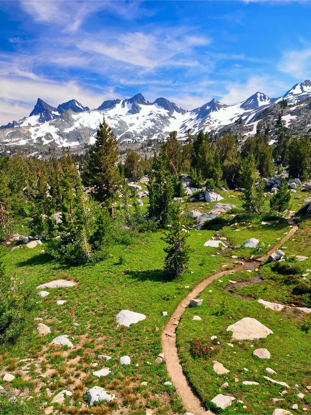
Thru-hikers carry everything on their backs across mountain ranges, trading daily urban comforts for remote resupply stops and rigorous physical endurance.
 मेट्रोपोलिटन कला संग्रहालय
 वॉल स्ट्रीट
 वाइट हाउस
 वर्ल्ड ट्रेड सेंटर
 ब्रुकलिन ब्रिज
 सेंट्रल पार्क
 एम्पायर स्टेट भवन
 गोल्डन गेट सेतु
 John F. Kennedy International Airport
 स्टैचू ऑफ़ लिबर्टी
 पेंटागन
 विलिस टावर
 Brooklyn Museum
 Getty Center
 J. Paul Getty Museum
 म्युसियम ओफ मॉडर्न आर्ट
 Solomon R. Guggenheim Museum
 Bronx Zoo
 Gateway Arch
 क्वेस्ट फील्ड
 Mercedes-Benz Stadium
 रिलायन्ट स्टेडियम
 यूनाइटेड सेंटर
 Broadway
 संयुक्त राष्ट्र मुख्यालय
 Rockefeller Center
 7 वर्ल्ड ट्रेड सेंटर
 875 North Michigan Avenue
 अमेरिकन म्यूजियम ऑफ नेचुरल हिस्ट्री
 एओन सेंटर, शिकागो
 Art Institute of Chicago
 न्यू काउबॉयस स्टेडियम
 Bank of America Tower
 वेरिज़ोन सेंटर
 Carnegie Hall
 Chrysler Building
 Coney Island
 Daniel K. Inouye International Airport
 डिज़्नीलैंड पार्क
 Fifth Avenue
 Flatiron Building
 ग्रांड सेंट्रल टर्मिनल
 Indianapolis Motor Speedway
 ला गुर्डिया हवाई अड्डा
 Levi's Stadium
 मैडीसन स्क्वायर गार्डन
 Manhattan Bridge
 New Amsterdam
 New York Times Building
 Newark Liberty International Airport
 १ वर्ल्ड ट्रेड सेंटर
 Rock and Roll Hall of Fame
 स्पेस नीडल
 St. Patrick's Cathedral
 टाइम्स स्क्वायर
 Trump Tower
 United States Naval Academy
 Woolworth Building
The corridor runs along the highest elevations of the Cascade and Sierra Nevada crests, connecting boundary points at Mexico and Canada through California, Oregon, and Washington. Hikers encounter immense shifts in topography, relying on sustained logistical planning and self-sufficiency across remote stretches of public land.
Federal land managers and volunteer organisations maintain the footpath after decades of advocacy that began with regional mountaineering clubs. Because the path traverses vast wilderness reserves rather than settled towns, participants depend on coordinated supply shipments sent ahead to highway crossings and rural outposts.
≈ 3 घं॰ 55 मि॰ की दूरी परसैन जोस, कैलिफोर्निया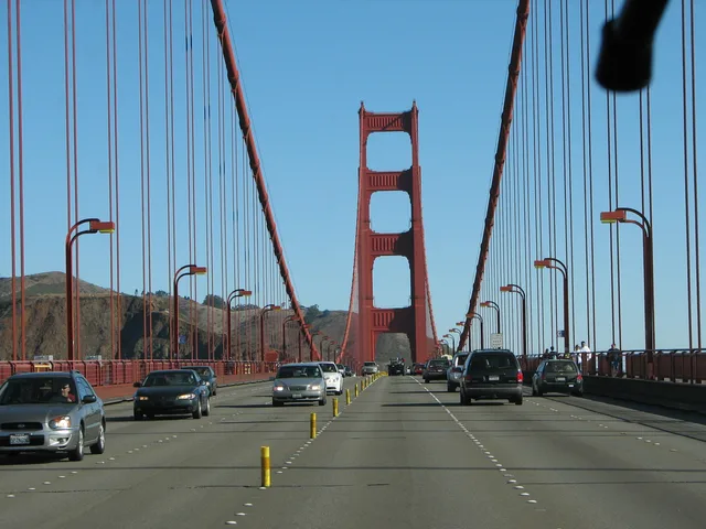 गोल्डन गेट सेतु
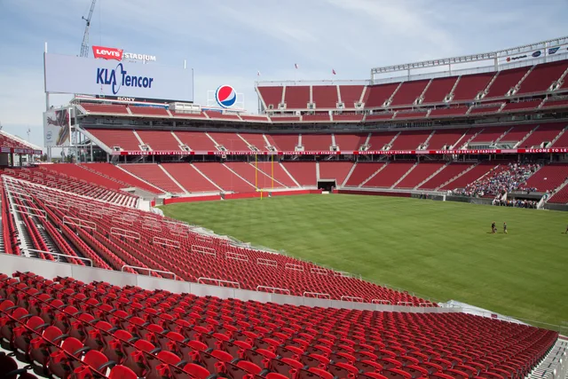 Levi's Stadium
अपनी पसंद की जगह नहीं मिल रही? खोज टूल किसी भी भाषा को समझता है। खोज खोलें