 ≈ 3 год 55 хв у дорозіСан-Хосе
- Місяць
- ≈ 5 502 $
- Відстань
- 525 км
 TravelHub
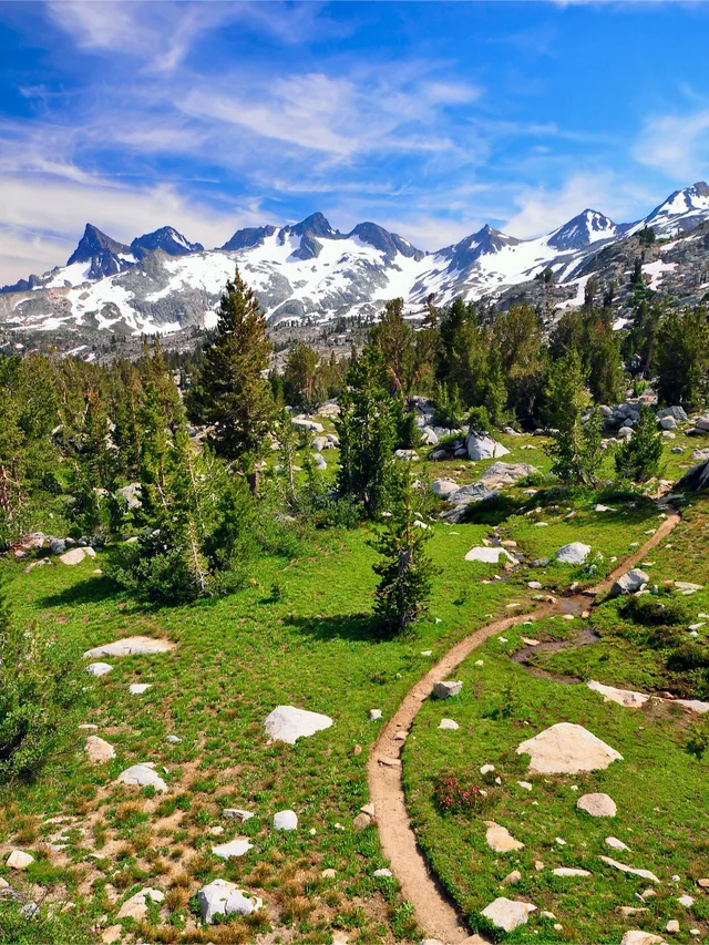
Thru-hikers carry everything on their backs across mountain ranges, trading daily urban comforts for remote resupply stops and rigorous physical endurance.
 Музей мистецтва Метрополітен
 Волл-стріт
 Білий дім
 Всесвітній торговий центр
 Бруклінський міст
 Центральний парк
 Емпайр-Стейт-Білдінг
 Золота Брама
 Міжнародний аеропорт імені Джона Кеннеді
 Статуя Свободи
 Пентагон
 Вілліс Тауер
 Бруклінський музей
 Центр Ґетті
 Музей Ґетті
 Музей сучасного мистецтва
 Музей Соломона Ґуґґенгайма
 Bronx Zoo
 Арка Гейтвей
 Сенчурі Лінк Філд
 Мерседес-Бенц Стедіум
 NRG-Стедіум
 Юнайтед-центр
 Бродвей
 Штаб-квартира ООН
 Рокфеллерський центр
 Всесвітній торговий центр 7
 Джон Генкок Центр
 Американський музей природознавства
 Аон центр
 Художній інститут Чикаго
 AT&T стадіон
 Башта Банку Америки
 Верайзон-центр
 Карнегі-хол
 Крайслер Білдінг
 Коні-Айленд (Бруклін)
 Гонолулу
 Діснейленд
 П'ята авеню
 Праска
 Гранд-Сентрал-Стейшн
 Індіанаполіс Мотор Спідвей
 Аеропорт Ла-Гуардія
 Леві Стедіум
 Медісон-сквер-гарден
 Мангеттенський міст
 Новий Амстердам
 Будівля Нью-Йорк Таймс
 Міжнародний аеропорт Ньюарк Ліберті
 Всесвітній торговий центр 1
 Зала слави рок-н-ролу
 Space Needle
 собор Святого Патріка
 Таймс-Сквер
 Трамп-тауер
 Військово-морська Академія США
 Будинок Вулворт
The corridor runs along the highest elevations of the Cascade and Sierra Nevada crests, connecting boundary points at Mexico and Canada through California, Oregon, and Washington. Hikers encounter immense shifts in topography, relying on sustained logistical planning and self-sufficiency across remote stretches of public land.
Federal land managers and volunteer organisations maintain the footpath after decades of advocacy that began with regional mountaineering clubs. Because the path traverses vast wilderness reserves rather than settled towns, participants depend on coordinated supply shipments sent ahead to highway crossings and rural outposts.
≈ 3 год 55 хв у дорозіСан-Хосе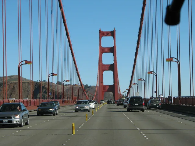 Золота Брама
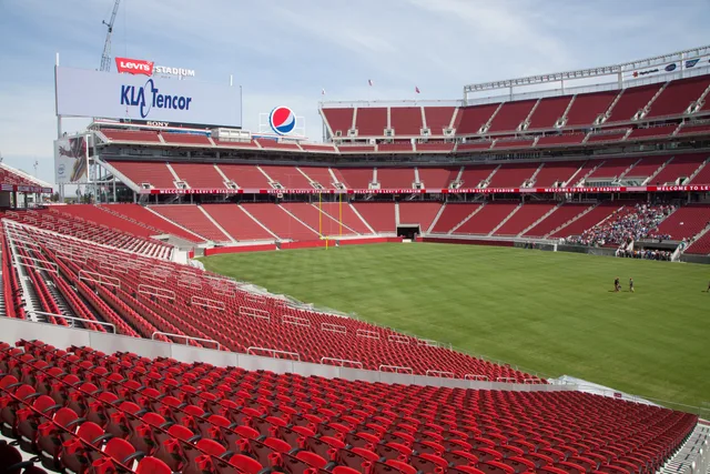 Леві Стедіум
Не можете знайти потрібне місце? Пошук розуміє будь-яку мову. Відкрити пошук