
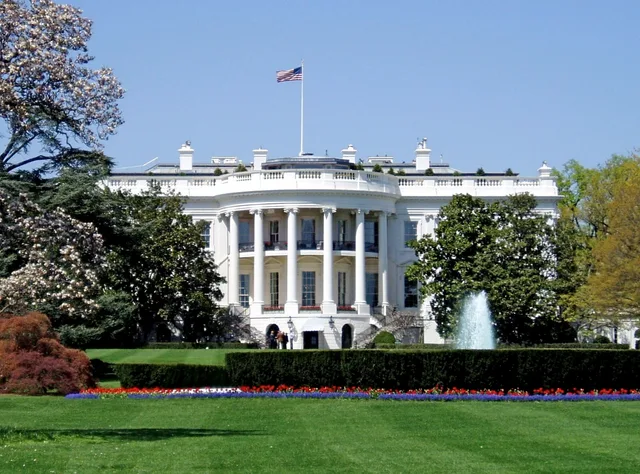
 ≈ 45 मि॰ की दूरी परवाइट हाउस
- दूरी
- 3.4 कि॰मी॰
 TravelHub
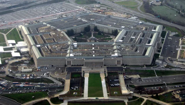
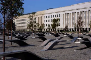
Civilian and military personnel spend their shifts navigating sprawling low-rise rings instead of office elevators, turning routine cross-department meetings into brisk marches across the complex.
Before construction, war administration occupied temporary quarters along the National Mall and scattered offices across adjacent states. A facility in Foggy Bottom failed to resolve the shortage and passed to the Department of State. Officials selected land in Arlington County across the Potomac River to unite operations, clearing industrial terrain previously known as Hell's Bottom for the project.
Strict wartime conservation rules capped vertical elevation to reserve structural steel for combat equipment. Planners spread office floor space horizontally across broad rings rather than erecting a skyscraper. The pentagonal geometry originated at the Arlington Farms parcel and remained intact after relocation to the airport site, producing a symmetrical layout reminiscent of classic gunpowder star forts.
President Roosevelt moved the construction zone to the airport grounds to preserve sightlines toward the capital from Arlington Cemetery. Builder John McShain managed the rapid assembly alongside regional contractors while global conflict expanded. Today the structure operates as the metonym for national military leadership, requiring relocated personnel to adapt to rigorous physical access controls.
Google Maps पर आगंतुक क्या लिखते हैं
Google Maps की रेटिंग और हाल की समीक्षाएँ माँगने पर लोड होंगी।
≈ 45 मि॰ की दूरी परवाइट हाउस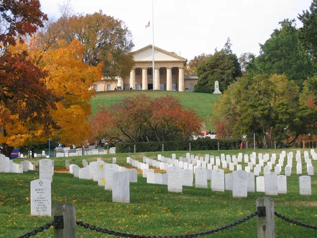 ≈ 20 मि॰ की दूरी परArlington National Cemetery
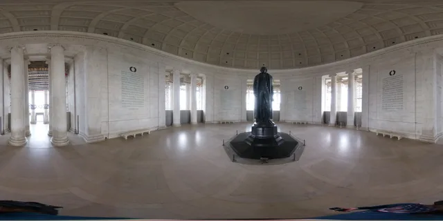 ≈ 25 मि॰ की दूरी परJefferson Memorial
अपनी पसंद की जगह नहीं मिल रही? खोज टूल किसी भी भाषा को समझता है। खोज खोलें