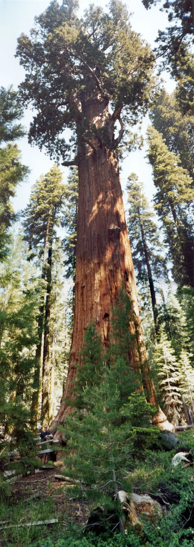
 à ≈ 35 minGeneral Sherman
- Distance
- 2,7 km
 TravelHub
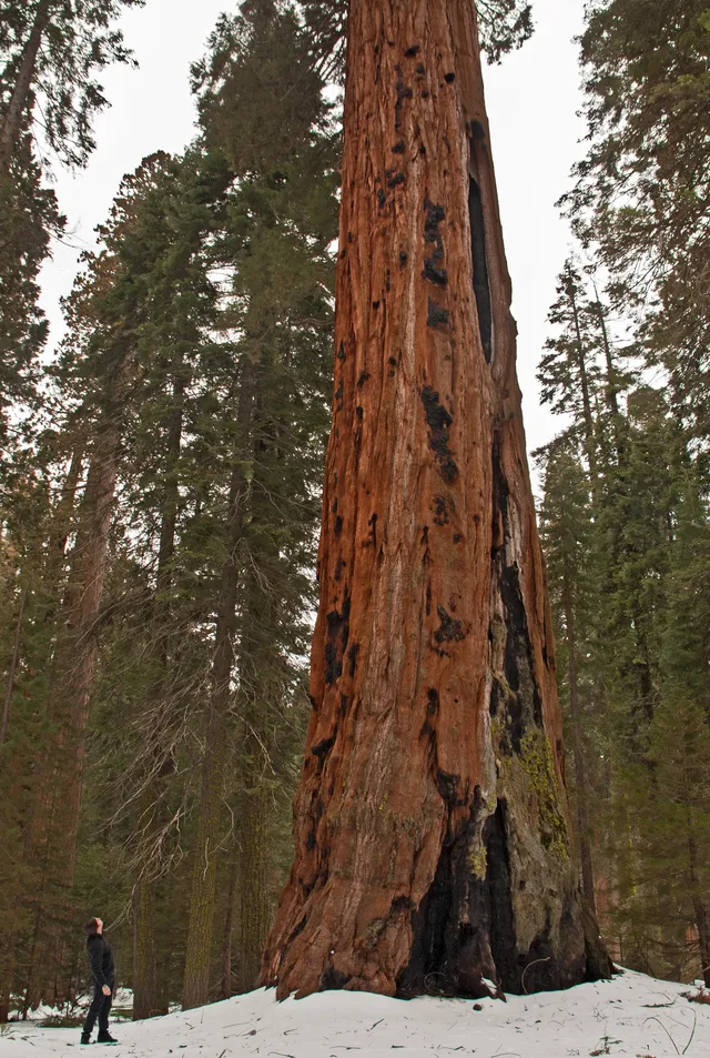
Living on-site means handling sharp elevation changes and abrupt weather shifts between the low river basins and the high mountain forests.
 Metropolitan Museum of Art
 Wall Street
 Maison-Blanche
 World Trade Center
 pont de Brooklyn
 Central Park
 Empire State Building
 pont du Golden Gate
 aéroport international John-F.-Kennedy de New York
 statue de la Liberté
 Pentagone
 Willis Tower
 Brooklyn Museum
 Getty Center
 musée J. Paul Getty
 Museum of Modern Art
 musée Solomon-R.-Guggenheim
 zoo du Bronx
 Gateway Arch
 Lumen Field
 Mercedes-Benz Stadium
 Reliant Stadium
 United Center
 Broadway
 Siège des Nations unies
 Rockefeller Center
 7 World Trade Center
 John Hancock Center
 musée américain d'histoire naturelle
 Aon Center
 Art Institute of Chicago
 AT&T Stadium
 Bank of America Tower
 Capital One Arena
 Carnegie Hall
 Chrysler Building
 Coney Island
 aéroport international d'Honolulu
 Disneyland
 Cinquième Avenue
 Flatiron Building
 Grand Central
 Indianapolis Motor Speedway
 aéroport de LaGuardia
 Levi's Stadium
 Madison Square Garden
 pont de Manhattan
 La Nouvelle-Amsterdam
 New York Times Building
 aéroport international Liberty de Newark
 One World Trade Center
 Rock and Roll Hall of Fame
 Space Needle
 cathédrale Saint-Patrick de New York
 Times Square
 Trump Tower
 Académie navale d'Annapolis
 Woolworth Building
The reserve spans vast mountainous terrain across the southern Sierra Nevada east of Visalia. The territory climbs from lower foothill canyons up to the summit of Mount Whitney, creating dramatic differences in temperature and vegetation across distinct zones. The National Park Service manages the grounds alongside adjoining Kings Canyon.
Indigenous Western Mono people established early settlements in the Kaweah River drainage, relying on bedrock mortars to process native acorns and trading over high passes. Today, pictographs survive at Hospital Rock and Potwisha. Modern work assignments keep staff navigating vast stretches of protected wilderness where services remain remote.
à ≈ 35 minGeneral Sherman à ≈ 3 h 30 minSan José
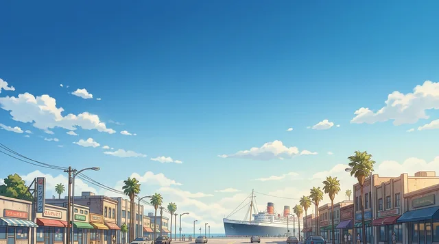 à ≈ 3 h 35 minLong Beach
Vous ne trouvez pas la destination souhaitée ? La recherche prend en charge toutes les langues. Ouvrir la recherche