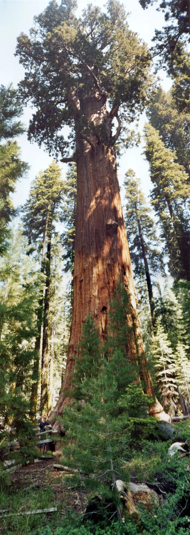
 ≈ 35 хв у дорозіГенерал Шерман
- Відстань
- 2,7 км
 TravelHub
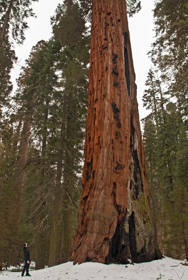
Living on-site means handling sharp elevation changes and abrupt weather shifts between the low river basins and the high mountain forests.
 Музей мистецтва Метрополітен
 Волл-стріт
 Білий дім
 Всесвітній торговий центр
 Бруклінський міст
 Центральний парк
 Емпайр-Стейт-Білдінг
 Золота Брама
 Міжнародний аеропорт імені Джона Кеннеді
 Статуя Свободи
 Пентагон
 Вілліс Тауер
 Бруклінський музей
 Центр Ґетті
 Музей Ґетті
 Музей сучасного мистецтва
 Музей Соломона Ґуґґенгайма
 Bronx Zoo
 Арка Гейтвей
 Сенчурі Лінк Філд
 Мерседес-Бенц Стедіум
 NRG-Стедіум
 Юнайтед-центр
 Бродвей
 Штаб-квартира ООН
 Рокфеллерський центр
 Всесвітній торговий центр 7
 Джон Генкок Центр
 Американський музей природознавства
 Аон центр
 Художній інститут Чикаго
 AT&T стадіон
 Башта Банку Америки
 Верайзон-центр
 Карнегі-хол
 Крайслер Білдінг
 Коні-Айленд (Бруклін)
 Гонолулу
 Діснейленд
 П'ята авеню
 Праска
 Гранд-Сентрал-Стейшн
 Індіанаполіс Мотор Спідвей
 Аеропорт Ла-Гуардія
 Леві Стедіум
 Медісон-сквер-гарден
 Мангеттенський міст
 Новий Амстердам
 Будівля Нью-Йорк Таймс
 Міжнародний аеропорт Ньюарк Ліберті
 Всесвітній торговий центр 1
 Зала слави рок-н-ролу
 Space Needle
 собор Святого Патріка
 Таймс-Сквер
 Трамп-тауер
 Військово-морська Академія США
 Будинок Вулворт
The reserve spans vast mountainous terrain across the southern Sierra Nevada east of Visalia. The territory climbs from lower foothill canyons up to the summit of Mount Whitney, creating dramatic differences in temperature and vegetation across distinct zones. The National Park Service manages the grounds alongside adjoining Kings Canyon.
Indigenous Western Mono people established early settlements in the Kaweah River drainage, relying on bedrock mortars to process native acorns and trading over high passes. Today, pictographs survive at Hospital Rock and Potwisha. Modern work assignments keep staff navigating vast stretches of protected wilderness where services remain remote.
≈ 35 хв у дорозіГенерал Шерман ≈ 3 год 30 хв у дорозіСан-Хосе
 ≈ 3 год 35 хв у дорозіЛонґ-Біч
Не можете знайти потрібне місце? Пошук розуміє будь-яку мову. Відкрити пошук