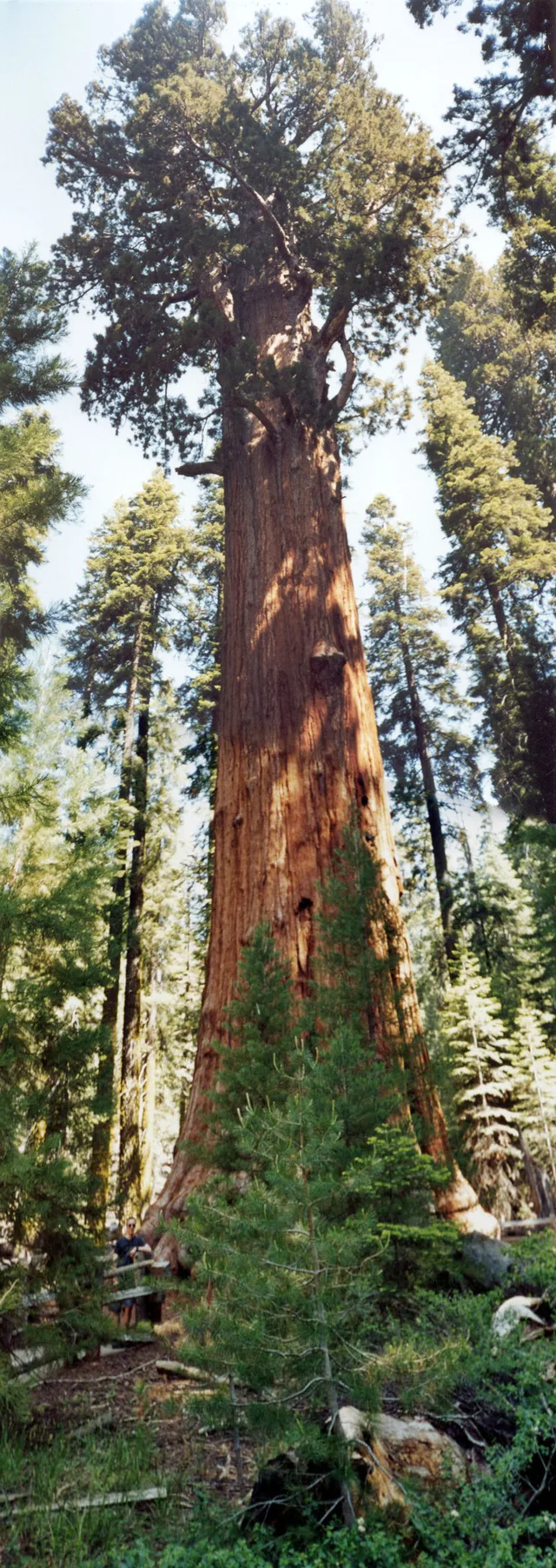
 ≈ 35 min attālumāGeneral Sherman
- Attālums
- 2,7 km
 TravelHub
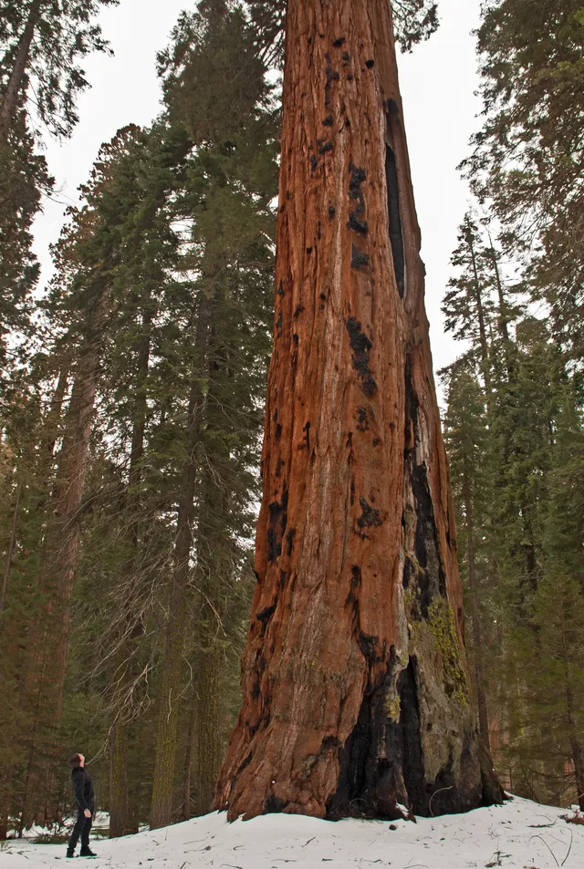
Living on-site means handling sharp elevation changes and abrupt weather shifts between the low river basins and the high mountain forests.
 Metropoles mākslas muzejs
 Volstrīta
 Baltais nams
 Pasaules tirdzniecības centrs
 Bruklinas tilts
 Centrālparks
 Empire State Building
 Zelta vārtu tilts
 Džona Kenedija starptautiskā lidosta
 Brīvības statuja
 Pentagons
 Vilisa tornis
 Bruklinas muzejs
 Getī centrs
 Žana Pola Getī muzejs
 Modernās mākslas muzejs
 Solomona Gugenheima muzejs
 Bronksas Zooloģiskais dārzs
 Gateway Arch
 Lumen Field
 Mercedes-Benz Stadium
 Reliant Stadium
 United Center
 Brodveja
 Apvienoto Nāciju ēka
 Rockefeller Center
 7 World Trade Center
 875 North Michigan Avenue
 American Museum of Natural History
 Aon Center
 Čikāgas mākslas institūts
 AT&T Stadium
 Bank of America tornis
 Capital One Arena
 Kārnegija zāle
 Chrysler Building
 Coney Island
 Daniel K. Inouye International Airport
 Disnejlenda
 Piektā avēnija
 Flatiron Building
 Ņujorkas Centrālā stacija
 Indianapolisas trase
 Lagardijas lidosta
 Levi's Stadium
 Madison Square Garden
 Manhetenas tilts
 New Amsterdam
 New York Times Building
 Newark Liberty International Airport
 One World Trade Center
 Rokenrola slavas zāle
 Space Needle
 Ņujorkas Svētā Patrika katedrāle
 Taimskvērs
 Trampa tornis
 United States Naval Academy
 Woolworth Building
The reserve spans vast mountainous terrain across the southern Sierra Nevada east of Visalia. The territory climbs from lower foothill canyons up to the summit of Mount Whitney, creating dramatic differences in temperature and vegetation across distinct zones. The National Park Service manages the grounds alongside adjoining Kings Canyon.
Indigenous Western Mono people established early settlements in the Kaweah River drainage, relying on bedrock mortars to process native acorns and trading over high passes. Today, pictographs survive at Hospital Rock and Potwisha. Modern work assignments keep staff navigating vast stretches of protected wilderness where services remain remote.
≈ 35 min attālumāGeneral Sherman ≈ 3 st. 30 min attālumāSanhosē
 ≈ 3 st. 35 min attālumāLongbīča
Nevarat atrast vajadzīgo vietu? Meklēšana saprot jebkuru valodu. Atvērt meklēšanu