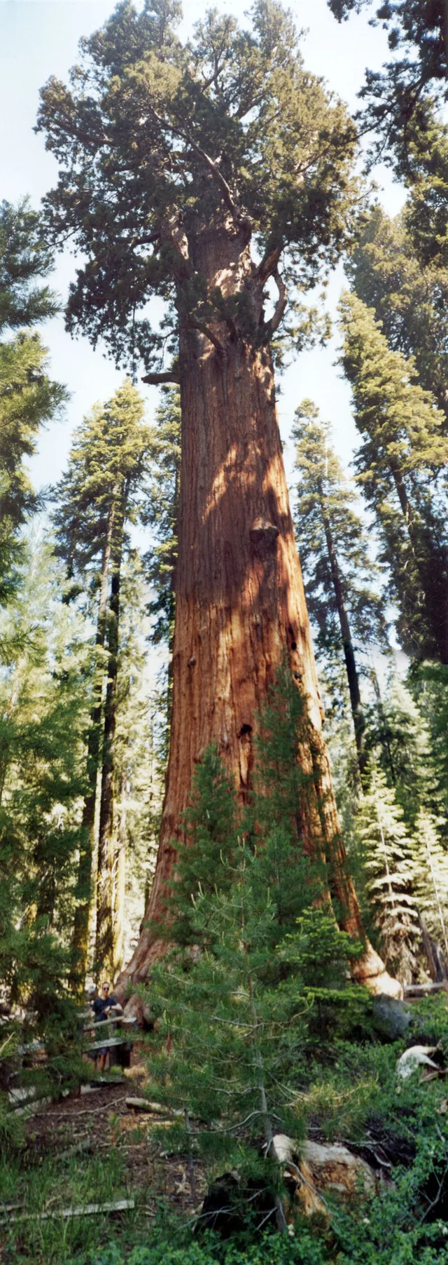
 ≈ 35 daq. masofadaGeneral Sherman
- Masofa
- 2,7 km
 TravelHub
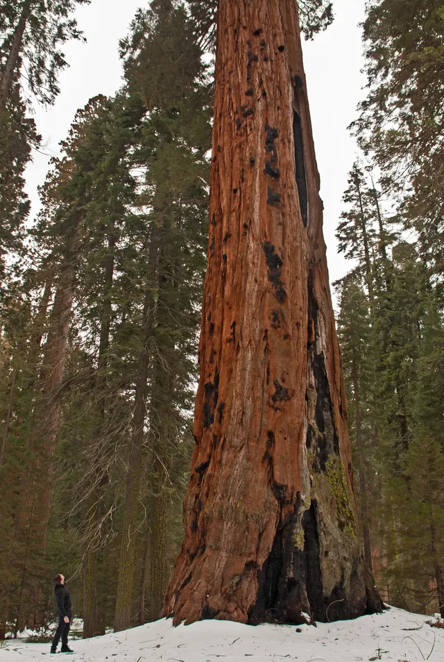
Living on-site means handling sharp elevation changes and abrupt weather shifts between the low river basins and the high mountain forests.
 Metropoliten-muzey
 Wall Street
 Oq Uy
 Jahon savdo markazi (1973-2001)
 Brooklyn koʻprigi
 Central park (Nyu York)
 Empire State Building
 Golden gate koʻprigi
 Jon F. Kennedi xalqaro aeroporti
 Ozodlik Haykali
 Pentagon
 Willis Tower
 Brooklyn Museum
 Getty Center
 J. Paul Getty Museum
 Zamonaviy sanʼat muzeyi
 Solomon R. Guggenheim Museum
 Bronks hayvonot bog‘i
 Gateway Arch
 Lumen Field
 Mercedes-Benz Stadium
 Reliant Stadium
 United Center
 Broadway
 Headquarters of the United Nations
 Rockefeller Center
 7 World Trade Center
 875 North Michigan Avenue
 American Museum of Natural History
 Aon Center (Chikago) (Chikago)
 Art Institute of Chicago
 AT&T Stadium
 Amerika Tower banki(Manhattan)
 Capital One Arena
 Carnegie Hall
 Chrysler Building
 Coney Island
 Daniel K. Inouye International Airport
 Disneyland
 Fifth Avenue
 Flatiron Building
 Grand Central Terminal
 Indianapolis Motor Speedway
 LaGuardia Airport
 Levi's Stadium
 Madison Square Garden
 Manhattan Bridge
 Yangi Amsterdam
 The New York Times minorasi
 Newark Liberty International Airport
 Ozodlik minorasi
 Rock and Roll Hall of Fame
 Space Needle
 St. Patrick's Cathedral
 Times Square
 Trump Tower
 United States Naval Academy
 Woolworth Building
The reserve spans vast mountainous terrain across the southern Sierra Nevada east of Visalia. The territory climbs from lower foothill canyons up to the summit of Mount Whitney, creating dramatic differences in temperature and vegetation across distinct zones. The National Park Service manages the grounds alongside adjoining Kings Canyon.
Indigenous Western Mono people established early settlements in the Kaweah River drainage, relying on bedrock mortars to process native acorns and trading over high passes. Today, pictographs survive at Hospital Rock and Potwisha. Modern work assignments keep staff navigating vast stretches of protected wilderness where services remain remote.
≈ 35 daq. masofadaGeneral Sherman ≈ 3 soat 30 daq. masofadaSan Xose
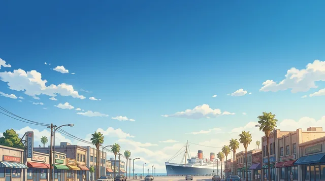 ≈ 3 soat 35 daq. masofadaLong Beach
Kerakli joyni topolmadingizmi? Qidiruv tizimi har qanday tilni tushunadi. Qidiruvni ochish