
- 距离
- 474公里
哈萨克斯坦
阿尔泰山脉: 周边有什么、如何前往、何时最合适 · 2026年
Living beside these remote ridges means planning supply runs around vast distances and adapting daily routines to an extraordinarily intact glacial climate.
周边57
汇率₸452.70截至 2026年11月3日
周边推荐57
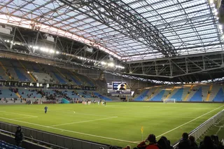 阿斯塔纳竞技场
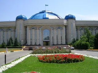 哈萨克斯坦中央国家博物馆
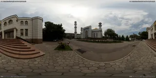 中央清真寺 (阿拉木图)
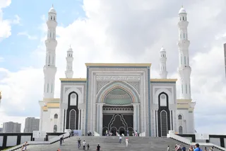 哈兹拉特苏丹清真寺
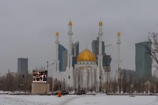 努爾阿斯塔納清真寺
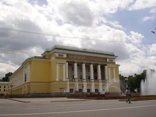 阿拜歌劇院
 Astana Opera
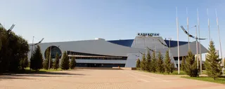 哈薩克體育宮
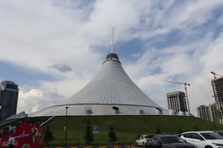 大汗帐篷娱乐中心
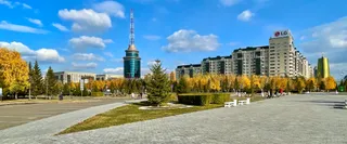 巴伊杰列克观景塔
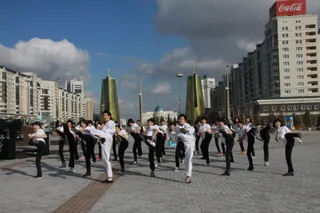 阿克奥尔达总统府
 阿克托比国际机场
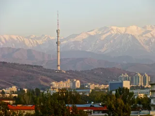 阿拉木圖電視塔
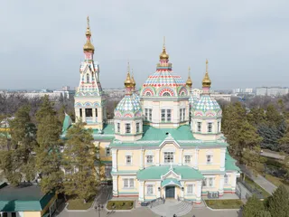 升天大教堂 (阿拉木圖)
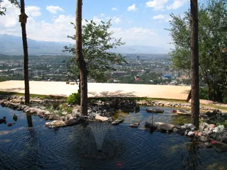 青山公園
 和平與和解宮
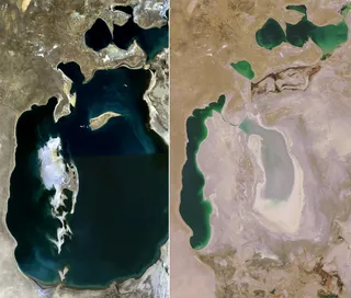 鹹海
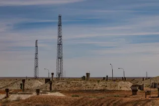 拜科努爾航天發射場
- Karagandy Zoo
- 阿克托比中央球場
- 塔拉茲機場
- Kasteev Home Museum
- Kunaev Home Museum
- Tlendiyev Memorial Museum
- Cathedral of Our Lady of Fatima, Karaganda
- Mashkhur Jusup Mosque
- Red Mosque, Oral
- Saint Michael Archangel Orthodox cathedral in Oral
- 巴卢安·绍拉克体育馆
- Gany Muratbayev Stadium
- Halyk Arena
- Independence Park
- 穆纳帕斯夫球场
- Petr Atoyan Stadium
- 沙格托體育場
- Shymkent Zoo
- Vostok Stadium
- Aitbai Mosque in Kyzylorda
- House of Officers (Almaty)
- Kök Bazaar
- Golden Warrior Monument
- Statue of Abay Kunanbayev in Almaty
- Annunciation Cathedral, Pavlodar
- Arasan
- 布拉拜區
- 查恩峽谷
- Christ the Savior Church in Uralsk
- Church of the Theotokos of Kazan in Kyzylorda
- Karakhan Mausoleum
- Miners' Palace of Culture
- Orthodox cathedral in Karaganda
- PTZ tractors
- Raiymbek Batyr Mausoleum
- Saint Andrew Orthodox cathedral in Oskemen
- Taraz Central Stadium
- Tekturmas Mausoleum
- Zenkovy house
关于此地
The Altai Mountains form a massive continental barrier where four countries meet, retaining ancient wildlife ecosystems and early human history.
The range occupies a pivotal junction where Kazakhstan, Russia, China, and Mongolia meet, feeding the headwaters of the Ob and Irtysh rivers. Glacial terrain transitions eastward into the Gobi Desert and descends southwest toward the Junggar Basin. The peak of Belukha crowns the massif, establishing an alpine territory of severe elevation changes.
继续阅读
A remarkably stable local climate has persisted here since the last ice age, preserving mammal populations that disappeared elsewhere across Eurasia. Ancient caves across the mountain valleys sheltered populations of Denisovans, Neanderthals, and modern humans alongside early domesticated canines, leaving deep archaeological deposits preserved by cold temperatures.
相关组织
- Belukha
- Denisova Cave
- Early skiing
- Isolation
事实信息
- The mountain range contains the headwaters of the Ob and Irtysh rivers where Kazakhstan, Russia, China, and Mongolia intersect.
- Denisova Cave preserves evidence showing that Neanderthals, Denisovans, and Homo sapiens all inhabited the same area.
- Ancient rock art in the mountains depicts hunters traveling on skis in pursuit of quarry.
- The range served as an environmental refuge that sheltered mammalian fauna continuously since the last glacial epoch.
交通与住宿
2 个来源 · 截至 2026年11月4日
来源:TravelHub · OurAirports (public domain)
Google 评价
访客在 Google 地图上怎么说
Google 地图的评分和最新评价将按需加载。
周边相似目的地
没找到心仪的目的地?搜索功能支持任何语言。 打开搜索