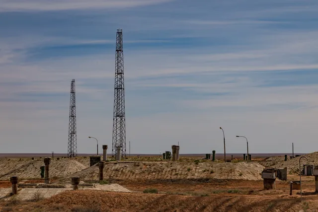
 拜科努爾航天發射場
- 距离
- 279公里
 TravelHub
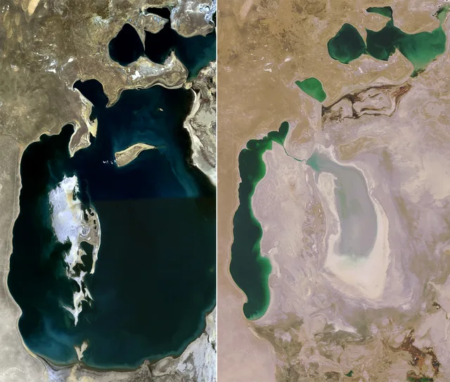
Living near the desiccated seabed means accepting saline dust storms, limited fresh water, and a remote desert landscape stripped of its historical shoreline.
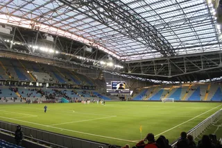 阿斯塔纳竞技场
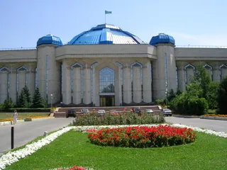 哈萨克斯坦中央国家博物馆
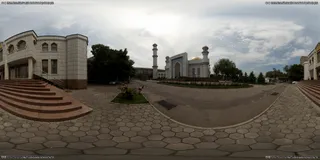 中央清真寺 (阿拉木图)
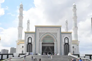 哈兹拉特苏丹清真寺
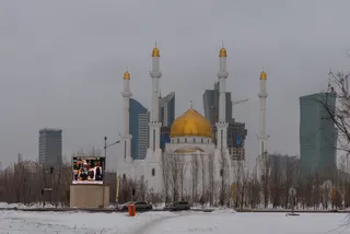 努爾阿斯塔納清真寺
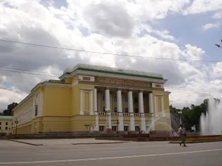 阿拜歌劇院
 Astana Opera
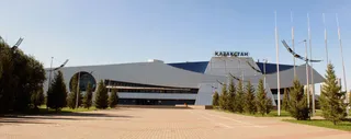 哈薩克體育宮
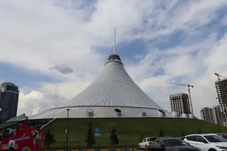 大汗帐篷娱乐中心
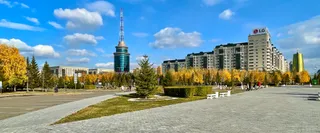 巴伊杰列克观景塔
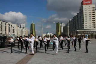 阿克奥尔达总统府
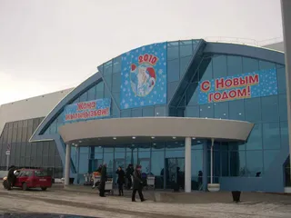 阿克托比国际机场
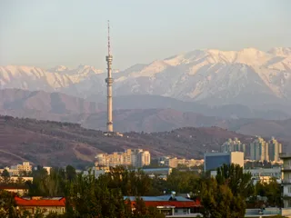 阿拉木圖電視塔
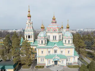 升天大教堂 (阿拉木圖)
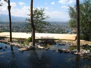 青山公園
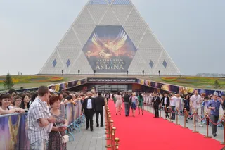 和平與和解宮
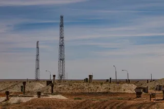 拜科努爾航天發射場
A catastrophic water diversion project redirected major rivers toward agricultural fields to maximize cotton harvests. Deprived of normal inflow, the inland body receded rapidly, stranding vessels on dry ground and leaving settlements kilometres away from water. The change wrecked commercial fisheries and turned active harbours into rust sites.
Winds across the exposed basin carry salt and agrochemical residues over adjacent districts. Local populations face severe respiratory problems and contaminated potable supplies, while the disappearance of the surface moisture widened local temperature extremes. Long stays demand careful planning around dust exposure and fresh drinking water.