
- Distance
- 154 km
Nepal
Mount Everest: what's nearby, how to get there and when to go · 2026
Expedition teams structure daily work around Khumbu Glacier shifting beneath the camps while adjusting to thin tropospheric air that halves physical output.
Around here58
Exchange rateRs 151.73as of Nov 3, 2026
What is around58
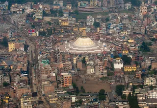 Boudhanath
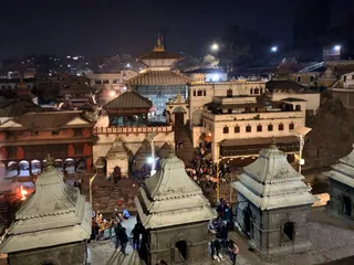 Pashupatinath Temple
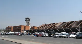 Tribhuvan International Airport
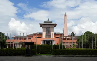 Narayanhiti Palace
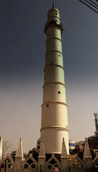 Dharahara
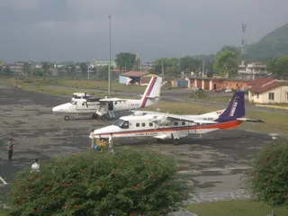 Bharatpur Airport
 Biratnagar Airport
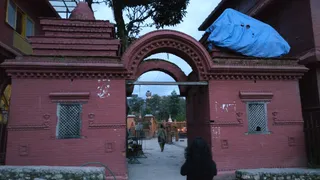 Budhanilkantha Temple
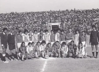 Dasarath Rangasala Stadium
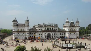 Janaki Mandir
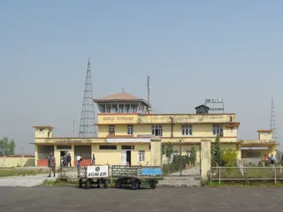 Janakpur Airport
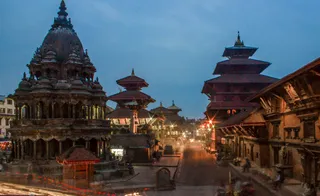 Patan Durbar Square
 Pokhara Airport
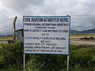 Pokhara International Airport
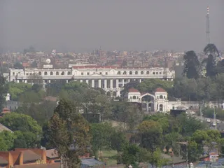 Singha Durbar
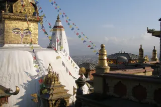 Swayambhunath
- Natural History Museum of Nepal
- Patan Museum
- Pancha Kashmiri Takiya Masjid
- The Taragaon Museum
- Ratna Park
- Tundikhel
- Garden of Dreams
- Jhochhen
- Kumbheshwar temple complex
- Narayani Bridge
- Thapathali Durbar
- Maitighar Mandala
- Bagh Bhairab Temple
- Bindhyabasini Temple
- Bir Hospital
- Charumati Stupa
- Dhangadhi Airport
- Durbar Marg
- Ghanta Ghar
- Hiranya Varna Mahavihar
- International Convention Centre, Nepal
- International Mountain Museum
- Jal Binayak Temple
- Karya Binayak Temple
- Krishna Mandir
- Mahendra Cave
- Maru, Kathmandu
- Maula Kalika Temple
- Naag Pokhari
- New Road of Kathmandu
- Pokhara Rangasala
- Raxaul Airport
- Raxaul Junction railway station
- Sahid Rangsala
- Sankata Temple
- Shanti Stupa
- Sheshnarayan Temple
- Siddha Baba Temple
- Tal Barahi Temple
- Taleju Temple
- Tribhuvan University International Cricket Ground
- Upper Mulpani Cricket Stadium
About the place
The mountain anchors the Himalayan frontier where high-altitude meteorology dictates human survival.
The summit straddles the boundary between Nepal and China within the Mahalangur Himal range. Known locally as Sagarmāthā, Chamolangma, or Jomolangma, it represents the apex of the planet above sea level. Operating here demands severe physiological acclimatisation because ambient air pressure falls to roughly one third of sea-level density.
Read on
Glacial instability defines routine ground operations on the southern approach. Rapid thinning across Khumbu Glacier makes the Nepalese base camp increasingly precarious, prompting official proposals to shift operations downhill despite logistical friction for ascent schedules through early morning icefalls. High-altitude winds enforce strict limits.
Associations
- Khumbu Glacier
- Jet stream winds
- Sagarmāthā
Facts
- The mountain marks a segment of the international border between Nepal and China.
- Air pressure near the highest point drops to roughly one third of sea-level value.
- Local names across nearby cultures include Sagarmāthā, Chamolangma, and Jomolangma.
- The territory experiences an ice cap climate where monthly temperatures remain below freezing.
Getting there and staying
2 sources · As of November 4, 2026
Source: TravelHub · OurAirports (public domain)
Google reviews
What visitors say on Google Maps
Rating and recent reviews from Google Maps load on request.
Similar nearby
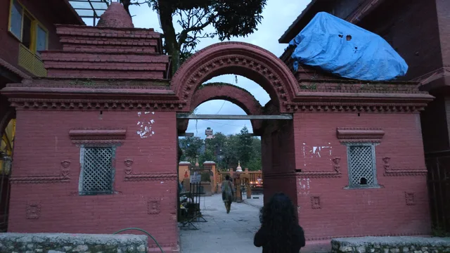 Budhanilkantha Temple
- Distance
- 155 km
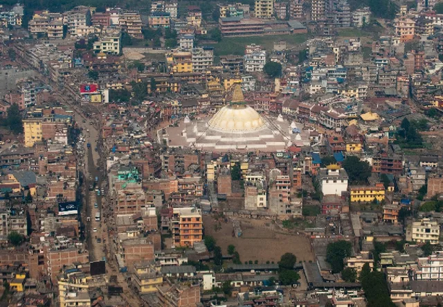 Boudhanath
- Distance
- 156 km
Cities of Nepal
Places in Mount Everest
Countries nearby
Frequent questions about Mount Everest
Can’t find the place you need? Search understands any language. Open search