- 距离
- 154公里
尼泊尔
珠穆朗瑪峰: 周边有什么、如何前往、何时最合适 · 2026年
Expedition teams structure daily work around Khumbu Glacier shifting beneath the camps while adjusting to thin tropospheric air that halves physical output.
周边58
汇率Rs 151.73截至 2026年11月3日
周边推荐58
 布达纳特
 帕斯帕提那寺
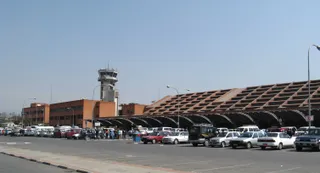 特里布万国际机场
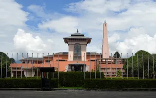 纳拉扬希蒂王宫
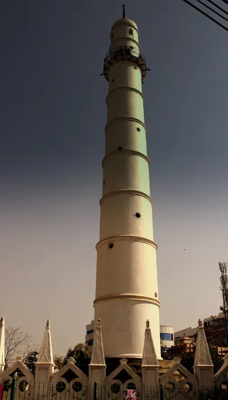 达拉哈拉
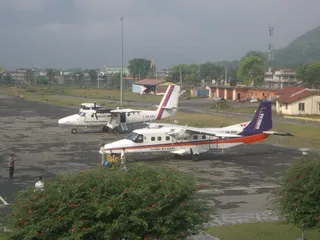 巴拉特普爾機場
 比拉德訥格爾機場
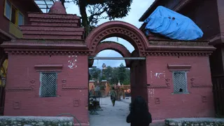 Budhanilkantha Temple
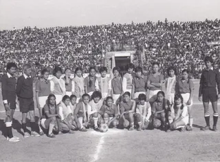 達沙拉斯·蘭加薩拉地體育場
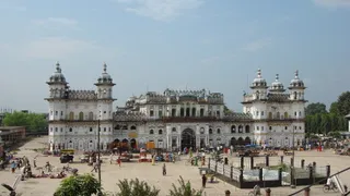 賈納金廟
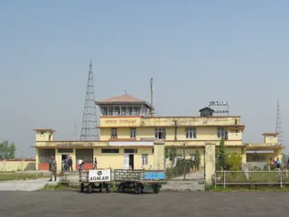 札納普爾機場
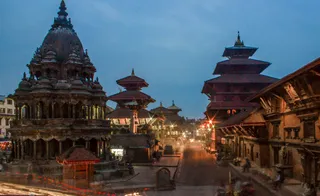 帕坦王宫广场
 博克拉機場
 博卡拉国际机场
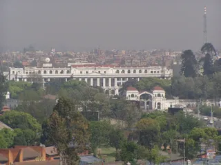 辛哈杜巴
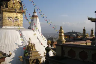 斯瓦扬布纳特
- Natural History Museum of Nepal
- Patan Museum
- Pancha Kashmiri Takiya Masjid
- The Taragaon Museum
- Ratna Park
- 屯迪克尔
- Garden of Dreams
- Jhochhen
- Kumbheshwar temple complex
- Narayani Bridge
- Thapathali Durbar
- Maitighar Mandala
- Bagh Bhairab Temple
- Bindhyabasini Temple
- Bir Hospital
- Charumati Stupa
- 登格迪機場
- Durbar Marg
- Ghanta Ghar
- Hiranya Varna Mahavihar
- 尼泊爾國際會議中心
- 國際山岳博物館
- Jal Binayak Temple
- Karya Binayak Temple
- Krishna Mandir
- Mahendra Cave
- Maru, Kathmandu
- Maula Kalika Temple
- Naag Pokhari
- 加德滿都新路
- 博卡拉多功能體育館
- Raxaul Airport
- Raxaul Junction railway station
- Sahid Rangsala
- Sankata Temple
- Shanti Stupa
- Sheshnarayan Temple
- Siddha Baba Temple
- 塔爾巴拉希神廟
- Taleju Temple
- Tribhuvan University International Cricket Ground
- Upper Mulpani Cricket Stadium
关于此地
The mountain anchors the Himalayan frontier where high-altitude meteorology dictates human survival.
The summit straddles the boundary between Nepal and China within the Mahalangur Himal range. Known locally as Sagarmāthā, Chamolangma, or Jomolangma, it represents the apex of the planet above sea level. Operating here demands severe physiological acclimatisation because ambient air pressure falls to roughly one third of sea-level density.
继续阅读
Glacial instability defines routine ground operations on the southern approach. Rapid thinning across Khumbu Glacier makes the Nepalese base camp increasingly precarious, prompting official proposals to shift operations downhill despite logistical friction for ascent schedules through early morning icefalls. High-altitude winds enforce strict limits.
相关组织
- Khumbu Glacier
- Jet stream winds
- Sagarmāthā
事实信息
- The mountain marks a segment of the international border between Nepal and China.
- Air pressure near the highest point drops to roughly one third of sea-level value.
- Local names across nearby cultures include Sagarmāthā, Chamolangma, and Jomolangma.
- The territory experiences an ice cap climate where monthly temperatures remain below freezing.
交通与住宿
2 个来源 · 截至 2026年11月4日
来源:TravelHub · OurAirports (public domain)
Google 评价
访客在 Google 地图上怎么说
Google 地图的评分和最新评价将按需加载。