
- दूरी
- 154 कि॰मी॰
नेपाल
एवरेस्ट पर्वत: आसपास क्या है, कैसे पहुँचें और कब जाएँ · 2026
Expedition teams structure daily work around Khumbu Glacier shifting beneath the camps while adjusting to thin tropospheric air that halves physical output.
आसपास58
विनिमय दरRs 151.733 नव॰ 2026 के अनुसार
आस-पास क्या है58
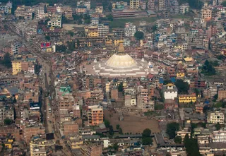 budhanath stupa
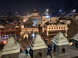 पशुपतिनाथ मन्दिर
 त्रिभुवन अन्तर्राष्ट्रीय विमानक्षेत्र
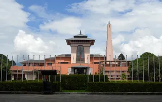 नारायणहिटी दरबार संग्रहालय
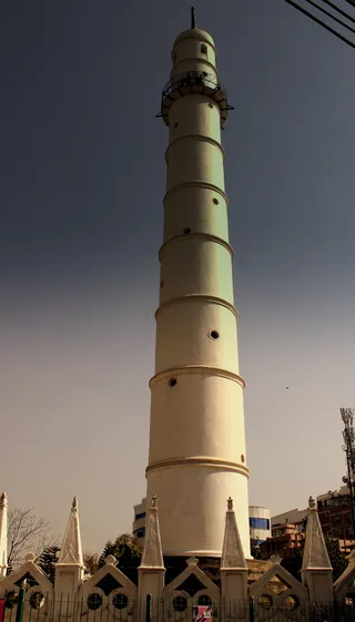 धरहरा
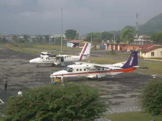 Bharatpur Airport
 Biratnagar Airport
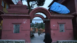 बुधनिलकंठ मंदिर
 दशरथ रंगशाला स्टेडियम
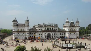 जानकी मन्दिर, नेपाल
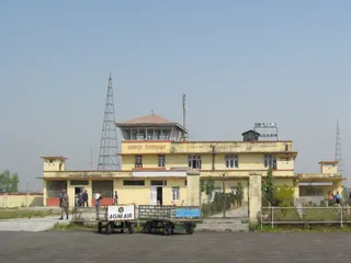 Janakpur Airport
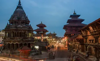 पाटन दरबार क्षेत्र
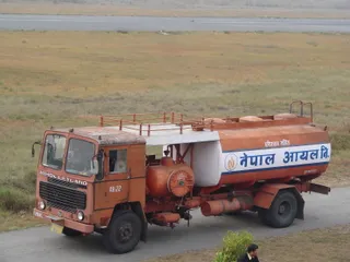 पोखरा हवाई अड्डा
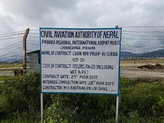 Pokhara International Airport
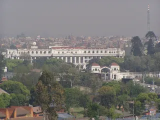 सिंह दरबार
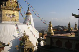 स्वयंभूनाथ
- Natural History Museum of Nepal
- Patan Museum
- Pancha Kashmiri Takiya Masjid
- The Taragaon Museum
- Ratna Park
- टुंडीखेल
- सपनों का बगीचा (नेपाल)
- Jhochhen
- कुंभेश्वर मंदिर परिसर
- Narayani Bridge
- Thapathali Durbar
- Maitighar Mandala
- Bagh Bhairab Temple
- Bindhyabasini Temple
- Bir Hospital
- चारुमति स्तूप
- Dhangadhi Airport
- Durbar Marg
- Ghanta Ghar
- Hiranya Varna Mahavihar
- International Convention Centre, Nepal
- International Mountain Museum
- जल विनायक मंदिर
- Karya Binayak Temple
- Krishna Mandir
- Mahendra Cave
- मरु
- Maula Kalika Temple
- Naag Pokhari
- New Road of Kathmandu
- Pokhara Rangasala
- रक्सौल विमानक्षेत्र
- रक्सौल जंक्शन रेलवे स्टेशन
- Sahid Rangsala
- Sankata Temple
- Shanti Stupa
- Sheshnarayan Temple
- Siddha Baba Temple
- Tal Barahi Temple
- Taleju Temple
- त्रिभुवन विश्वविद्यालय अंतर्राष्ट्रीय क्रिकेट मैदान
- Upper Mulpani Cricket Stadium
स्थान के बारे में
The mountain anchors the Himalayan frontier where high-altitude meteorology dictates human survival.
The summit straddles the boundary between Nepal and China within the Mahalangur Himal range. Known locally as Sagarmāthā, Chamolangma, or Jomolangma, it represents the apex of the planet above sea level. Operating here demands severe physiological acclimatisation because ambient air pressure falls to roughly one third of sea-level density.
आगे पढ़ें
Glacial instability defines routine ground operations on the southern approach. Rapid thinning across Khumbu Glacier makes the Nepalese base camp increasingly precarious, prompting official proposals to shift operations downhill despite logistical friction for ascent schedules through early morning icefalls. High-altitude winds enforce strict limits.
संस्थाएं
- Khumbu Glacier
- Jet stream winds
- Sagarmāthā
तथ्य
- The mountain marks a segment of the international border between Nepal and China.
- Air pressure near the highest point drops to roughly one third of sea-level value.
- Local names across nearby cultures include Sagarmāthā, Chamolangma, and Jomolangma.
- The territory experiences an ice cap climate where monthly temperatures remain below freezing.
वहाँ पहुँचना और रुकना
2 स्रोत · 4 नवंबर 2026 के अनुसार
स्रोत: TravelHub · OurAirports (public domain)
Google समीक्षाएँ
Google Maps पर आगंतुक क्या लिखते हैं
Google Maps की रेटिंग और हाल की समीक्षाएँ माँगने पर लोड होंगी।
आस-पास के समान विकल्प
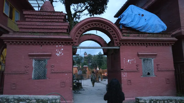 बुधनिलकंठ मंदिर
- दूरी
- 155 कि॰मी॰
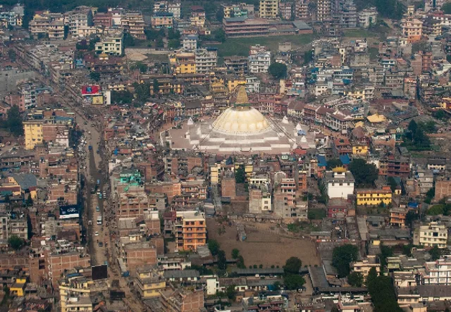 budhanath stupa
- दूरी
- 156 कि॰मी॰
नेपाल के शहर
एवरेस्ट पर्वत में जगहें
आस-पास के देश
एवरेस्ट पर्वत के बारे में अक्सर पूछे जाने वाले सवाल
अपनी पसंद की जगह नहीं मिल रही? खोज टूल किसी भी भाषा को समझता है। खोज खोलें