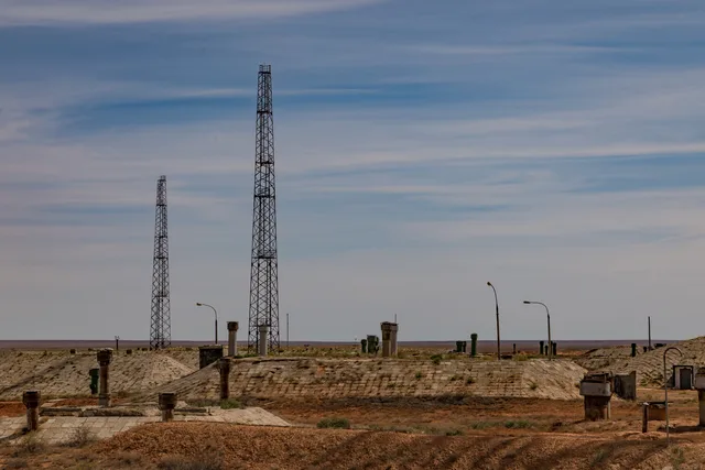
 cosmodromo di Bajkonur
- Distanza
- 279 km
 TravelHub
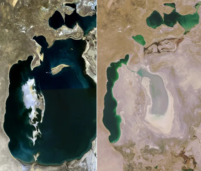
Living near the desiccated seabed means accepting saline dust storms, limited fresh water, and a remote desert landscape stripped of its historical shoreline.
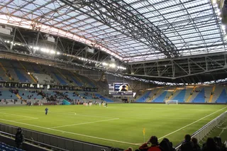 Astana Arena
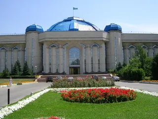 Central State Museum of Kazakhstan
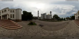 Central Mosque (Almaty)
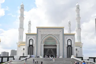 Moschea Áziret Sultan
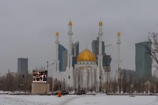 Nur-Astana Mosque
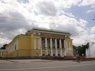 Abay Opera House
 Astana Opera
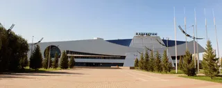 Kazakhstan Sports Palace
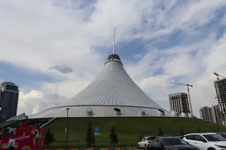 Khan Shatyr
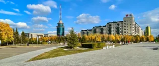 Baiterek
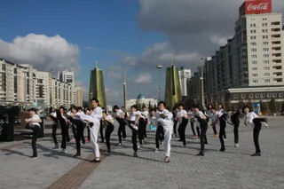 Palazzo presidenziale Ak Orda
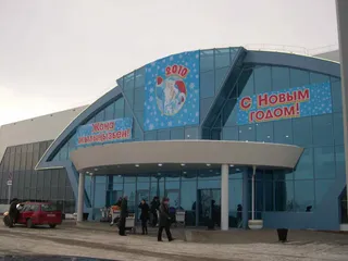 Aeroporto di Aktyubinsk
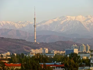 Almaty Tower
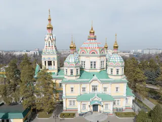 cattedrale dell'Ascensione
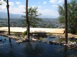 Kok Tobe
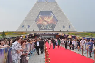 Palazzo della Pace e della Riconciliazione
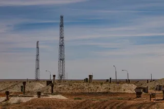 cosmodromo di Bajkonur
A catastrophic water diversion project redirected major rivers toward agricultural fields to maximize cotton harvests. Deprived of normal inflow, the inland body receded rapidly, stranding vessels on dry ground and leaving settlements kilometres away from water. The change wrecked commercial fisheries and turned active harbours into rust sites.
Winds across the exposed basin carry salt and agrochemical residues over adjacent districts. Local populations face severe respiratory problems and contaminated potable supplies, while the disappearance of the surface moisture widened local temperature extremes. Long stays demand careful planning around dust exposure and fresh drinking water.
cosmodromo di BajkonurNon trovi il posto che cerchi? La funzione di ricerca comprende qualsiasi lingua. Apri ricerca