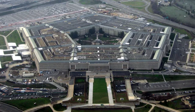
 O Pentágono
- Distância
- 207 km
 TravelHub

You trade open land for immediate access to passenger rail, dense downtown clusters, and financial centers along the Atlantic corridor.
 Metropolitan Museum of Art
 Wall Street
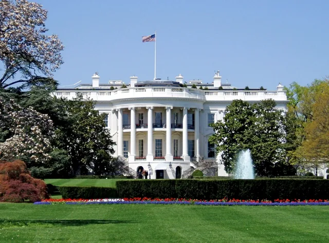
 Casa Branca
 World Trade Center
 Ponte do Brooklyn
 Central Park
 Empire State Building
 Ponte Golden Gate
 Aeroporto Internacional John F. Kennedy
 Estátua da Liberdade
 O Pentágono
 Willis Tower
 Brooklyn Museum
 Getty Center
 Museu J. Paul Getty
 Museu de Arte Moderna
 Museu Solomon R. Guggenheim
 Zoológico do Bronx
 Gateway Arch
 Lumen Field
 Mercedes-Benz Stadium
 Reliant Stadium
 United Center
 Broadway
 Sede da Organização das Nações Unidas
 Rockefeller Center
 7 World Trade Center
 John Hancock Center
 Museu Americano de História Natural
 Aon Center
 Art Institute of Chicago
 AT&T Stadium
 Bank of America Tower
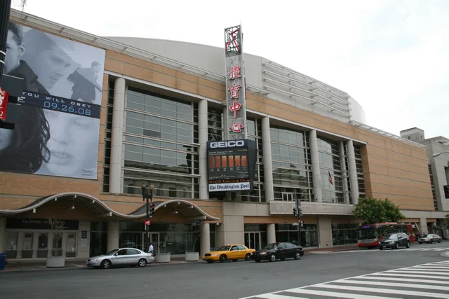
 Capital One Arena
 Carnegie Hall
 Chrysler Building
 Coney Island
 Aeroporto Internacional de Honolulu
 Disneyland
 Quinta Avenida
 Flatiron Building
 Grand Central
 Indianapolis Motor Speedway
 Aeroporto de LaGuardia
 Levi's Stadium
 Madison Square Garden
 Ponte de Manhattan
 Nova Amesterdão
 New York Times Building
 Aeroporto Internacional de Newark
 One World Trade Center
 Rock and Roll Hall of Fame
 Obelisco Espacial
 Catedral de São Patrício
 Times Square
 Trump Tower
 Academia Naval dos Estados Unidos
 Woolworth Building
The Eastern Seaboard concentrates national political influence and global corporate offices along a continuous Atlantic fringe. Major financial markets operate out of New York City, while federal agencies, lobbying groups, and trade bodies cluster around Washington. These dense metro areas dictate business pace across the corridor.
Travelers rely on the Interstate highway network alongside regional rail corridors and the Acela high-speed line. Coastal freight and pleasure craft navigate the Intracoastal Waterway from Massachusetts to southern ports. Long-term stays expose sharp climate shifts, from heavy northern winter snow to subtropical humidity further south.
Atlantic storms remain a major hazard for coastal settlements, as seasonal hurricanes regularly hit barrier islands and port towns. Settlers also manage extreme summer heat in southern bays alongside intense real estate competition in northern hubs, which shapes daily work routines and personal transit choices across states.
Não encontrou o local que precisa? A pesquisa entende qualquer idioma. Abrir pesquisa