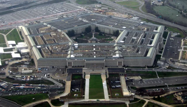
 Пентагон
- Відстань
- 207 км
 TravelHub

You trade open land for immediate access to passenger rail, dense downtown clusters, and financial centers along the Atlantic corridor.
 Музей мистецтва Метрополітен
 Волл-стріт
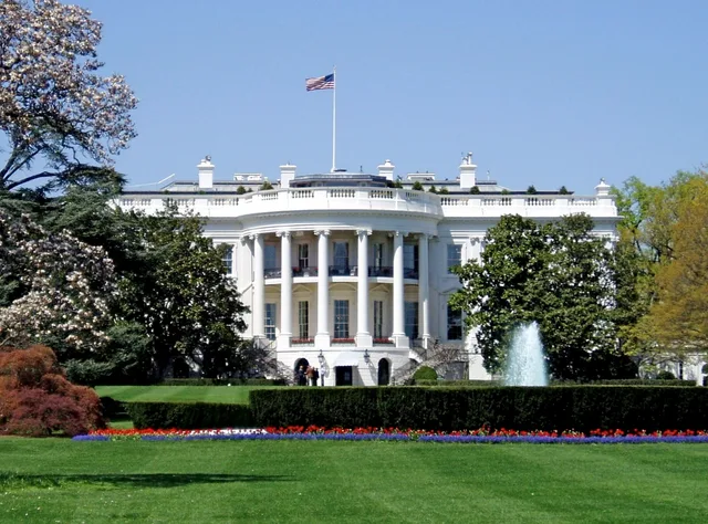
 Білий дім
 Всесвітній торговий центр
 Бруклінський міст
 Центральний парк
 Емпайр-Стейт-Білдінг
 Золота Брама
 Міжнародний аеропорт імені Джона Кеннеді
 Статуя Свободи
 Пентагон
 Вілліс Тауер
 Бруклінський музей
 Центр Ґетті
 Музей Ґетті
 Музей сучасного мистецтва
 Музей Соломона Ґуґґенгайма
 Bronx Zoo
 Арка Гейтвей
 Сенчурі Лінк Філд
 Мерседес-Бенц Стедіум
 NRG-Стедіум
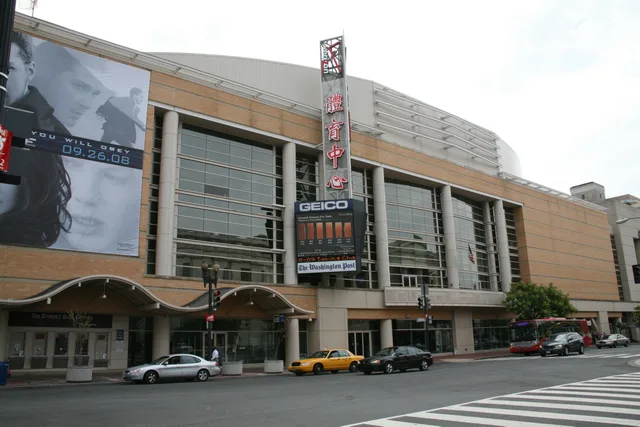
 Юнайтед-центр
 Бродвей
 Штаб-квартира ООН
 Рокфеллерський центр
 Всесвітній торговий центр 7
 Джон Генкок Центр
 Американський музей природознавства
 Аон центр
 Художній інститут Чикаго
 AT&T стадіон
 Башта Банку Америки
 Верайзон-центр
 Карнегі-хол
 Крайслер Білдінг
 Коні-Айленд (Бруклін)
 Гонолулу
 Діснейленд
 П'ята авеню
 Праска
 Гранд-Сентрал-Стейшн
 Індіанаполіс Мотор Спідвей
 Аеропорт Ла-Гуардія
 Леві Стедіум
 Медісон-сквер-гарден
 Мангеттенський міст
 Новий Амстердам
 Будівля Нью-Йорк Таймс
 Міжнародний аеропорт Ньюарк Ліберті
 Всесвітній торговий центр 1
 Зала слави рок-н-ролу
 Space Needle
 собор Святого Патріка
 Таймс-Сквер
 Трамп-тауер
 Військово-морська Академія США
 Будинок Вулворт
The Eastern Seaboard concentrates national political influence and global corporate offices along a continuous Atlantic fringe. Major financial markets operate out of New York City, while federal agencies, lobbying groups, and trade bodies cluster around Washington. These dense metro areas dictate business pace across the corridor.
Travelers rely on the Interstate highway network alongside regional rail corridors and the Acela high-speed line. Coastal freight and pleasure craft navigate the Intracoastal Waterway from Massachusetts to southern ports. Long-term stays expose sharp climate shifts, from heavy northern winter snow to subtropical humidity further south.
Atlantic storms remain a major hazard for coastal settlements, as seasonal hurricanes regularly hit barrier islands and port towns. Settlers also manage extreme summer heat in southern bays alongside intense real estate competition in northern hubs, which shapes daily work routines and personal transit choices across states.
Не можете знайти потрібне місце? Пошук розуміє будь-яку мову. Відкрити пошук