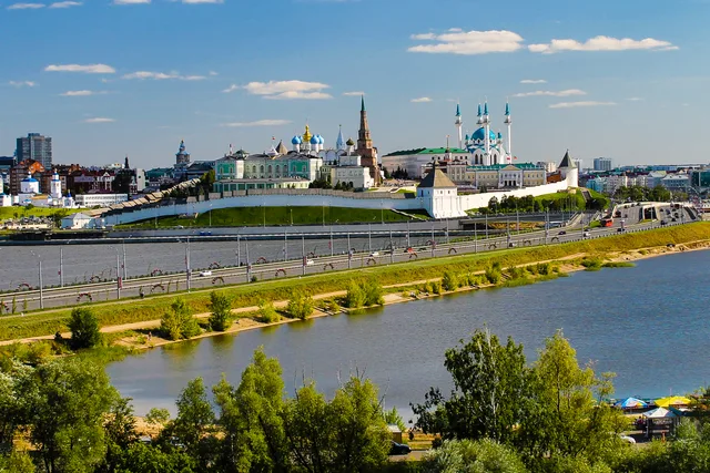
 ≈ 5 min drogiKreml kazański
- Odległość
- 300 m
 TravelHub
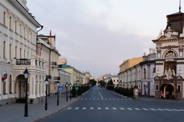
You trade quiet residential evenings for steady pedestrian traffic toward the citadel gate, relying on red buses and the single underground line after central tram routes were dismantled.
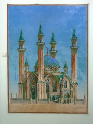 Meczet Kul Szarif
 Kreml kazański
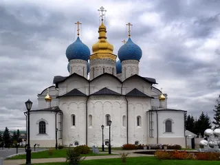 Sobór Zwiastowania w Kazaniu
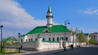 meczet Mardżaniego
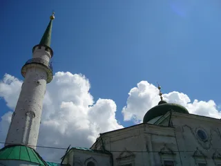 Nurulla Mosque
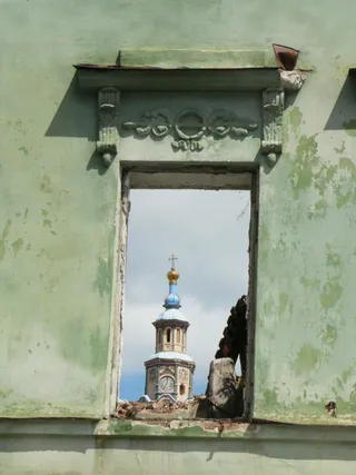 Saints Peter and Paul Cathedral
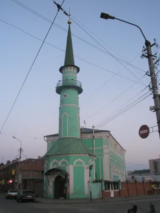 Soltan Mosque
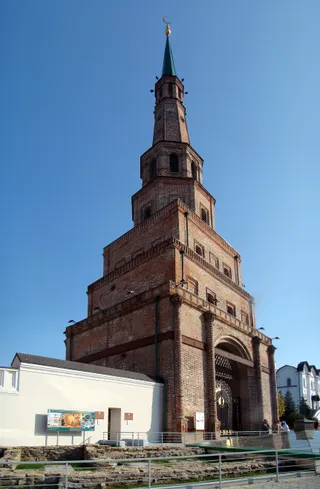
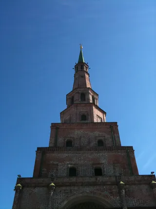
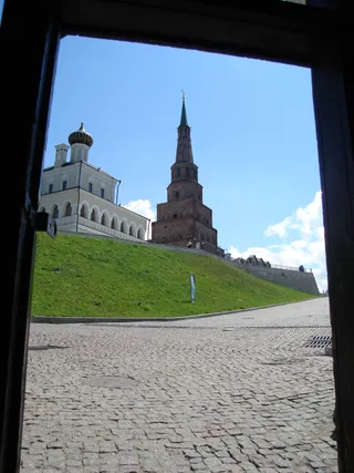 Wieża Sjujumbike
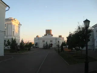 Astronomical Observatory of the University of Kazan
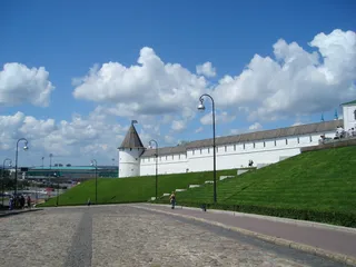 Stadion Centralny w Kazaniu
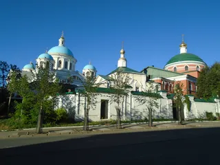 Monaster Kazańskiej Ikony Matki Bożej w Kazaniu
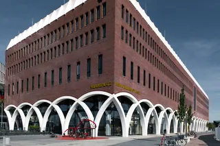 Manege
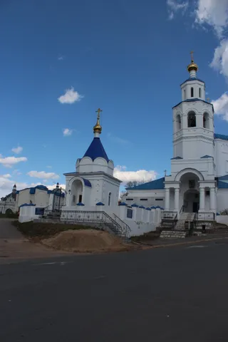 Church of Saint Paraskeva Pyatnytsya in Kazan
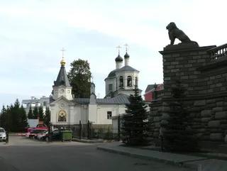 Saint Eudokia Church, Kazan
 Spaso-Preobrazhensky Cathedral
 Presidential palace
 The ruins of the mausoleum of Kazan khansMausoleum of Kazan Khans
 Transit Prison
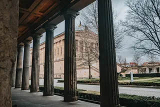 National Gallery of Art "Hazine"
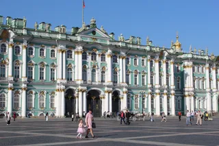 Palace Square
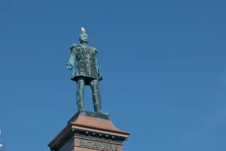 Alexander II monument in Kazan
The street occupies the elevated crest pointing toward the stone citadel where archaeologists uncovered early Bohemian trade coins and ancient fortifications. Repeated fires reshaped the surrounding masonry quarters following medieval sieges, separating the inner administrative precinct from the mercantile Tatar Bistase settlement. Today the thoroughfare retains its monumental masonry frontages above the river junction.
Urban mobility requires adjusting to the removal of central tram rails, which were eliminated from narrow historic lanes to clear vehicle congestion. Daily commuting relies instead on standardized red buses and the single underground transit line crossing the river. Onboard conductors collect transit fares by electronic card or cash, while automated stop announcements cycle sequentially through Russian, Tatar, and English.
Co piszą odwiedzający w Mapach Google
Ocena i najnowsze opinie z Map Google wczytają się na żądanie.
≈ 5 min drogiKreml kazański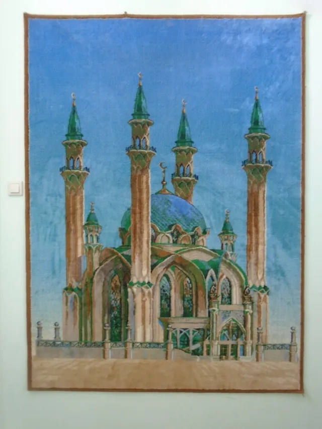 ≈ 5 min drogiMeczet Kul Szarif
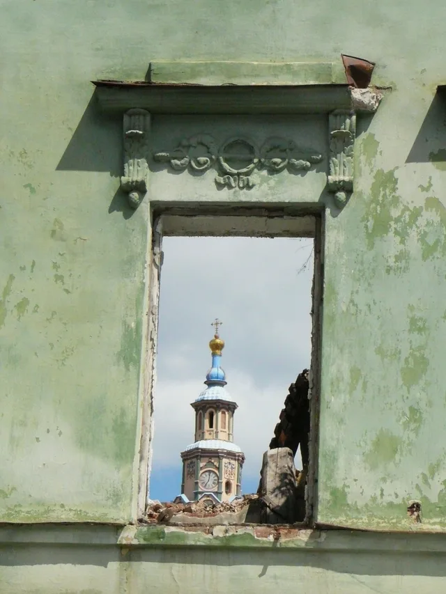 ≈ 5 min drogiSaints Peter and Paul Cathedral
Nie możesz znaleźć miejsca, którego potrzebujesz? Wyszukiwarka rozumie każdy język. Otwórz wyszukiwarkę