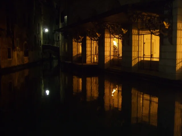
 ≈ 20 min drogiTeatro La Fenice
- Odległość
- 1,6 km
 TravelHub
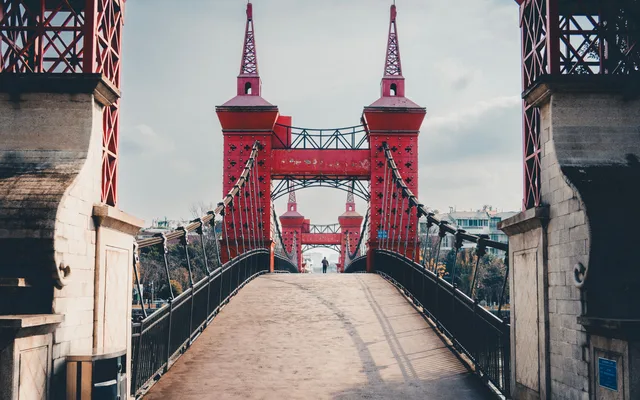
Commuting across pedestrian bridges defines everyday life here, where every supply run involves steps and water crossings rather than vehicular transit.
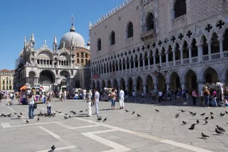 Pałac Dożów
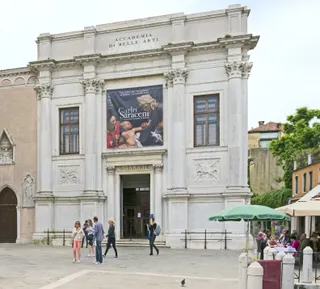 Gallerie dell'Accademia
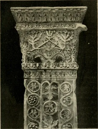 Bazylika św. Marka w Wenecji
 Teatro La Fenice
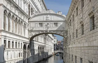 Most Westchnień
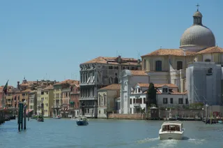 Canal Grande
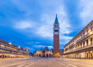 Plac św. Marka w Wenecji
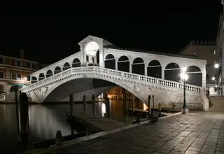 Most Rialto
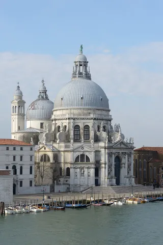 Santa Maria della Salute
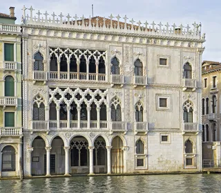 Ca' d'Oro
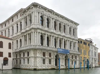 Ca' Pesaro
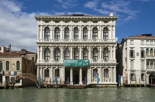 Ca' Rezzonico
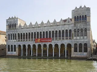 Fondaco dei Turchi
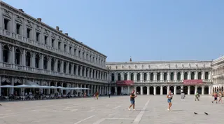 Museo Correr
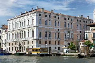 Palazzo Grassi
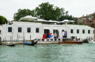 Peggy Guggenheim Collection
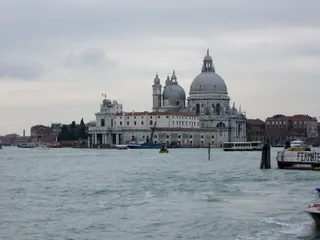 Punta della Dogana
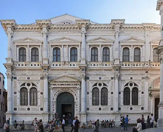 Scuola Grande di San Rocco
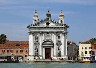 Kościół Santa Maria del Rosario w Wenecji
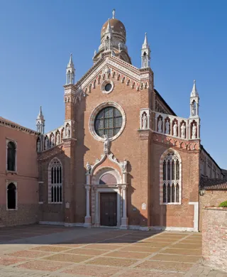 Kościół Madonna dell’Orto w Wenecji
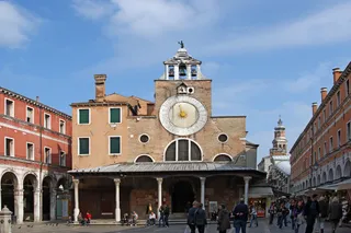 Kościół San Giacomo di Rialto
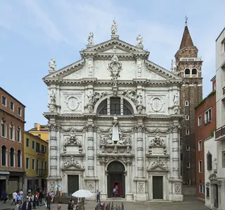 Kościół San Moisè
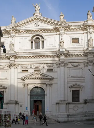 Kościół San Salvador w Wenecji
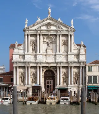 Kościół Santa Maria di Nazareth w Wenecji
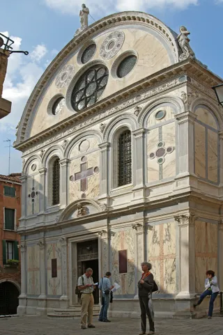 Kościół Santa Maria dei Miracoli w Wenecji
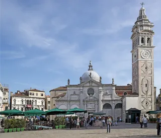 Kościół Santa Maria Formosa
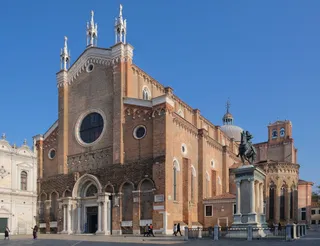 Bazylika Santi Giovanni e Paolo w Wenecji
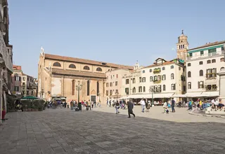 Kościół Santo Stefano w Wenecji
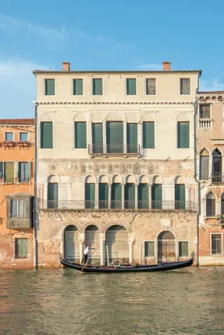 Ca' Da Mosto
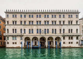 Fondaco dei Tedeschi
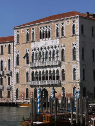 Ca' Foscari
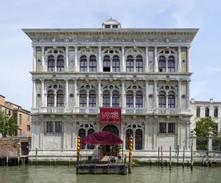 Ca’ Vendramin Calergi
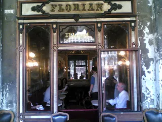 Caffè Florian
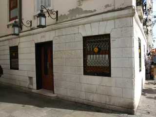 Harry's Bar
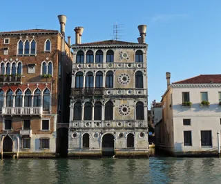 Palazzo Dario
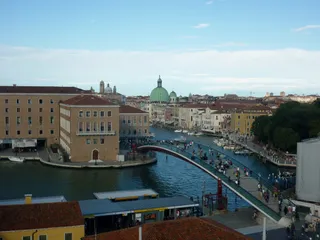 Ponte della Costituzione
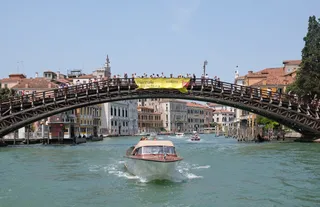 Ponte dell’Accademia
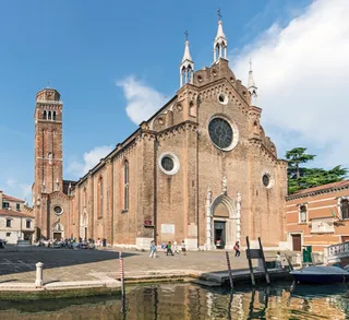 Santa Maria Gloriosa dei Frari
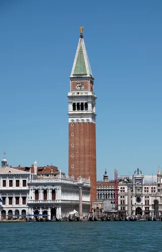 Dzwonnica św. Marka w Wenecji
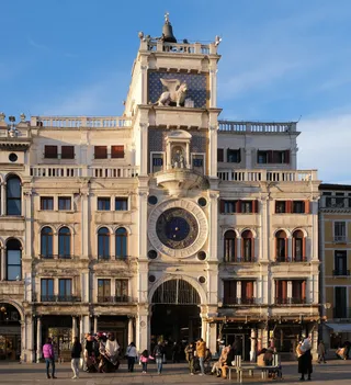 Wieża zegarowa na placu św. Marka
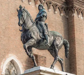 Pomnik Bartolomeo Colleoniego w Wenecji
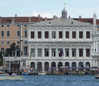 Zecca of Venice
Daily foot traffic across the canal network relies on fixed stone and brick crossings rather than street vehicles. Living near this bridge means carrying luggage and groceries over steps every day, as wheeled transport stops at the water edge. Long-term residents plan their routines around tide levels and pedestrian passages.
The surrounding neighborhood provides direct access to water transport stops and residential alleyways away from central tourist corridors. Settling in this district requires adjusting to waterborne deliveries, quiet evening lanes, and navigating urban geography without standard road networks or conventional vehicular delivery services.
Co piszą odwiedzający w Mapach Google
Ocena i najnowsze opinie z Map Google wczytają się na żądanie.
≈ 20 min drogiTeatro La Fenice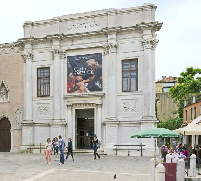 ≈ 20 min drogiGallerie dell'Accademia
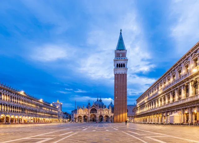 ≈ 25 min drogiPlac św. Marka w Wenecji
Nie możesz znaleźć miejsca, którego potrzebujesz? Wyszukiwarka rozumie każdy język. Otwórz wyszukiwarkę