Անցնել բովանդակությանը
TravelHub
Բարսելոնա · Իսպանիա

Դիագոնալ պողոտա: ինչ կա շուրջը, ինչպես հասնել և երբ գնալ · 2026

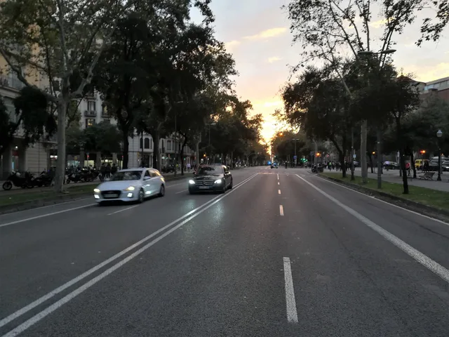
Tenants along Avinguda Diagonal exchange quiet residential side streets for direct cross-city transit, facing divided tram networks and broad road crossings on daily commutes.

Avinguda Diagonal · CC BY-SA 4.0

Վայրերի քարտեզ
Վայրի մասին

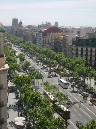
Avinguda Diagonal cuts through the surrounding street grid to form the primary transit axis of the city.

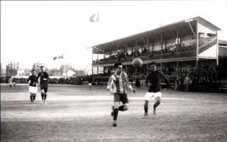
The corridor originated under the expansion plan of Ildefons Cerdà following royal decree approval that overruled the municipal council. The avenue cuts diagonally across the structured street grid between major plazas including Francesc Macià and Glòries. Aristocratic carriages once gathered along the central stretch, which later saw proposals for monarchical residences and hosted Summer Olympic competitions.

Կարդալ ավելին

Daily commuting relies on extensive underground metro stations alongside divided surface transit lines. Modern tram tracks terminate on separate branches called Trambaix and Trambesòs without meeting in the center. Municipal attempts to unite the tracks along a central boulevard collapsed during public consultation when voters rejected the overhaul, leaving commuters to navigate disconnected network legs.

Ասոցիացիաներ
  • Cerdà Urban PlanThe layout cuts diagonally across the standard city street grid.
  • Divided TramwayTracks remain split across separate Trambaix and Trambesòs branches.
  • Plaça de les GlòriesA critical avenue junction connecting transit lines and major districts.
  • Olympic HeritageVenues located along the thoroughfare hosted Summer Olympic events.
Փաստեր
  • The avenue runs diagonally across the municipal street grid rather than following the standard orientation.
  • Royal decree approved the avenue under the Cerdà expansion plan despite municipal council opposition.
  • Surface tram operations along the avenue remain divided between separate Trambaix and Trambesòs networks.
  • Voters in a municipal consultation rejected official boulevard redesigns meant to connect surface transit.
Աղբյուր՝ Wikipedia
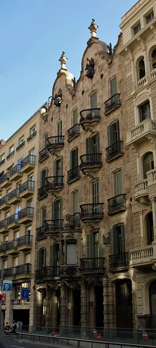
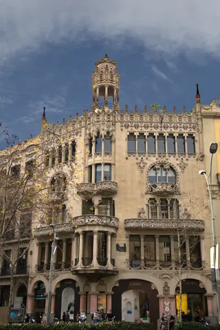
Դիագոնալ պողոտա նկարներում7 լուսանկար
Mcsmp · cc-by-sa-4.0 · 17 հոկ, 2019 թ.
Sergi Larripa ( User:SergiL ) · cc-by-sa-3.0 · 29 մյս, 2005 թ.

Ինչպես հասնել և որտեղ մնալ

Անվճար կացարան հյուրընկալողների մոտՏեսնել հյուրընկալողներին
Քաղաքում2534հյուրընկալողներ, որոնք պատրաստ են ընդունել
2 աղբյուր · Առ 03 նոյեմբերի, 2026 թ.
Աղբյուր՝ TravelHub · OurAirports (public domain)

Google-ի կարծիքներ

Ինչ են գրում այցելուները Google Maps-ում

Google Maps-ի վարկանիշն ու թարմ կարծիքները կբեռնվեն ըստ պահանջի։

Բացել Google Maps-ում