सामग्री पर जाएं
TravelHub
बार्सिलोना · स्पेन

Avinguda Diagonal: आसपास क्या है, कैसे पहुँचें और कब जाएँ · 2026

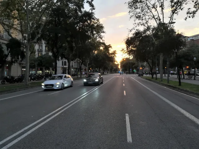
Tenants along Avinguda Diagonal exchange quiet residential side streets for direct cross-city transit, facing divided tram networks and broad road crossings on daily commutes.

Avinguda Diagonal · CC BY-SA 4.0

जगहों का मैप
स्थान के बारे में

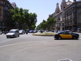
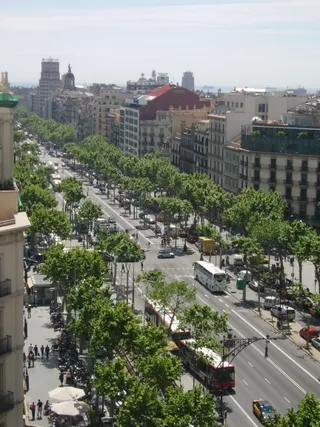
Avinguda Diagonal cuts through the surrounding street grid to form the primary transit axis of the city.

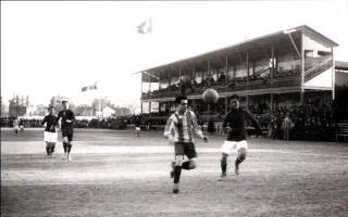
The corridor originated under the expansion plan of Ildefons Cerdà following royal decree approval that overruled the municipal council. The avenue cuts diagonally across the structured street grid between major plazas including Francesc Macià and Glòries. Aristocratic carriages once gathered along the central stretch, which later saw proposals for monarchical residences and hosted Summer Olympic competitions.

आगे पढ़ें

Daily commuting relies on extensive underground metro stations alongside divided surface transit lines. Modern tram tracks terminate on separate branches called Trambaix and Trambesòs without meeting in the center. Municipal attempts to unite the tracks along a central boulevard collapsed during public consultation when voters rejected the overhaul, leaving commuters to navigate disconnected network legs.

संस्थाएं
  • Cerdà Urban PlanThe layout cuts diagonally across the standard city street grid.
  • Divided TramwayTracks remain split across separate Trambaix and Trambesòs branches.
  • Plaça de les GlòriesA critical avenue junction connecting transit lines and major districts.
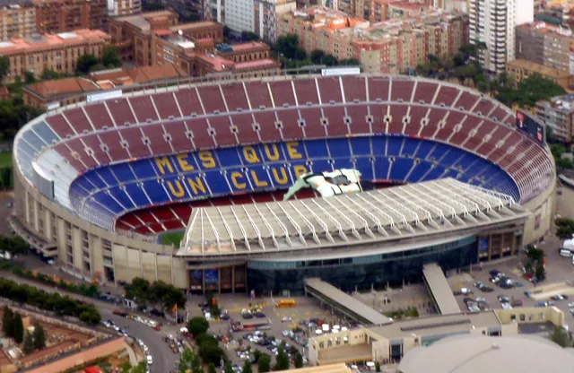
  • Olympic HeritageVenues located along the thoroughfare hosted Summer Olympic events.
तथ्य
  • The avenue runs diagonally across the municipal street grid rather than following the standard orientation.
  • Royal decree approved the avenue under the Cerdà expansion plan despite municipal council opposition.
  • Surface tram operations along the avenue remain divided between separate Trambaix and Trambesòs networks.
  • Voters in a municipal consultation rejected official boulevard redesigns meant to connect surface transit.
स्रोत: Wikipedia
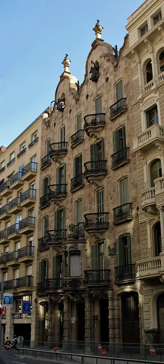
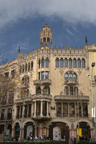
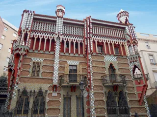
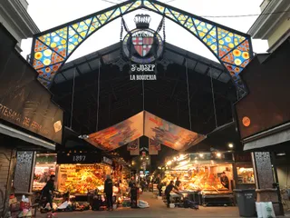
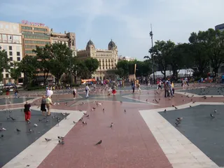
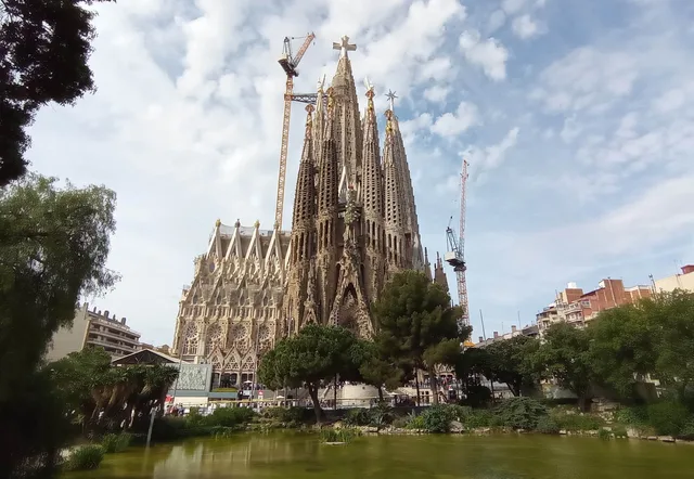
तस्वीरों में Avinguda Diagonal7 फोटो
Mcsmp · cc-by-sa-4.0 · 17 अक्टू॰ 2019
Sergi Larripa ( User:SergiL ) · cc-by-sa-3.0 · 29 मई 2005

वहाँ पहुँचना और रुकना

होस्ट के साथ मुफ्त आवासहोस्ट देखें
शहर में2,534होस्ट मेहमानों का स्वागत करते हैं
2 स्रोत · 3 नवंबर 2026 के अनुसार
स्रोत: TravelHub · OurAirports (public domain)

Google समीक्षाएँ

Google Maps पर आगंतुक क्या लिखते हैं

Google Maps की रेटिंग और हाल की समीक्षाएँ माँगने पर लोड होंगी।

Google Maps में खोलें

अपनी पसंद की जगह नहीं मिल रही? खोज टूल किसी भी भाषा को समझता है। खोज खोलें