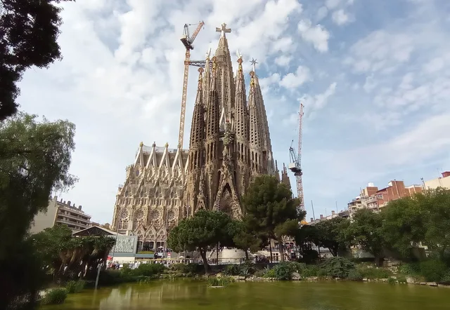
 ≈ 20 min attālumāSvētās Ģimenes baznīca
- Attālums
- 1,6 km
 TravelHub
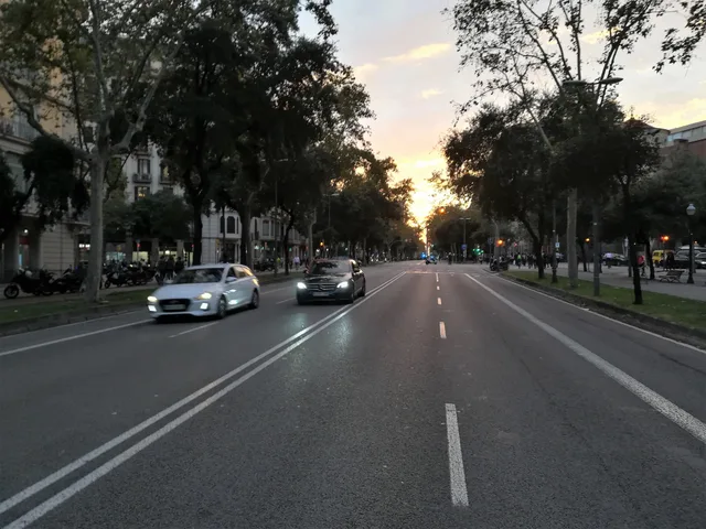
Tenants along Avinguda Diagonal exchange quiet residential side streets for direct cross-city transit, facing divided tram networks and broad road crossings on daily commutes.
 Svētās Ģimenes baznīca
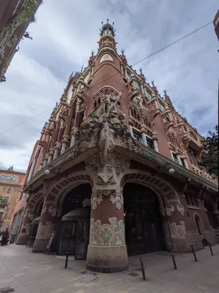 Palau de la Música Catalana
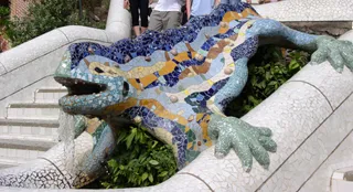 Gueļa parks
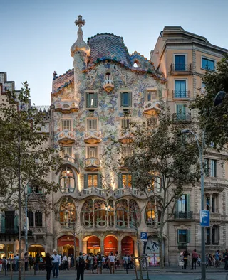 Batļo māja
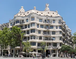 Casa Milà
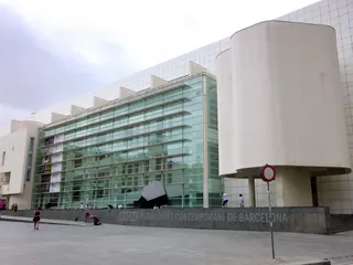 MACBA Barcelona Museum of Contemporary Art
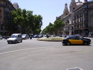 Gran Via de les Corts Catalanes
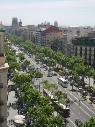 passeig de Gràcia
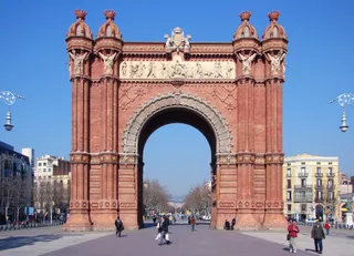 Arc de Triomf
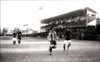 Camp del Carrer Indústria
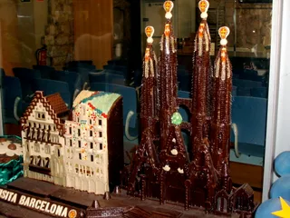 Casa Amatller
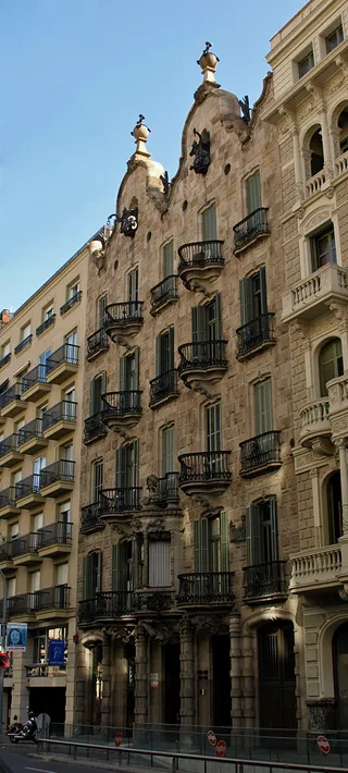 Casa Calvet
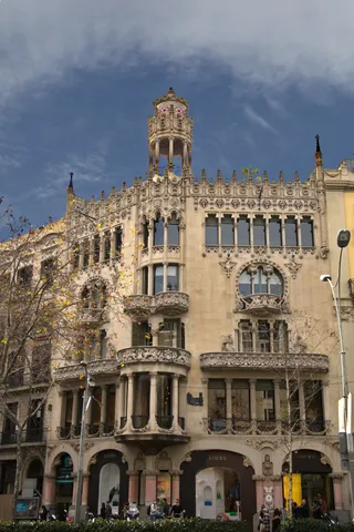 Casa Lleó Morera
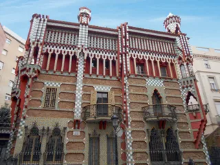 Casa Vicens
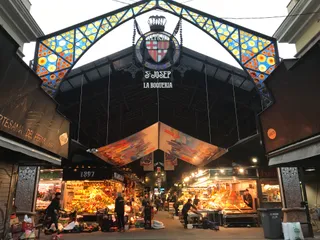 La Boqueria
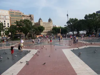 Plaça de Catalunya
The corridor originated under the expansion plan of Ildefons Cerdà following royal decree approval that overruled the municipal council. The avenue cuts diagonally across the structured street grid between major plazas including Francesc Macià and Glòries. Aristocratic carriages once gathered along the central stretch, which later saw proposals for monarchical residences and hosted Summer Olympic competitions.
Daily commuting relies on extensive underground metro stations alongside divided surface transit lines. Modern tram tracks terminate on separate branches called Trambaix and Trambesòs without meeting in the center. Municipal attempts to unite the tracks along a central boulevard collapsed during public consultation when voters rejected the overhaul, leaving commuters to navigate disconnected network legs.
Ko apmeklētāji raksta Google Maps
Vērtējums un jaunākās atsauksmes no Google Maps ielādēsies pēc pieprasījuma.
≈ 20 min attālumāSvētās Ģimenes baznīca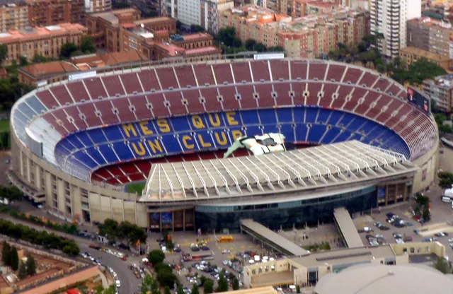 ≈ 45 min attālumāCamp Nou
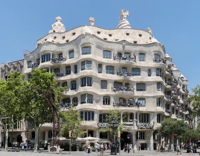 ≈ 5 min attālumāCasa Milà
Nevarat atrast vajadzīgo vietu? Meklēšana saprot jebkuru valodu. Atvērt meklēšanu