 ≈ 25 मि॰ की दूरी परयोसेमाइट राष्ट्रीय उद्यान
- दूरी
- 5.5 कि॰मी॰
 TravelHub
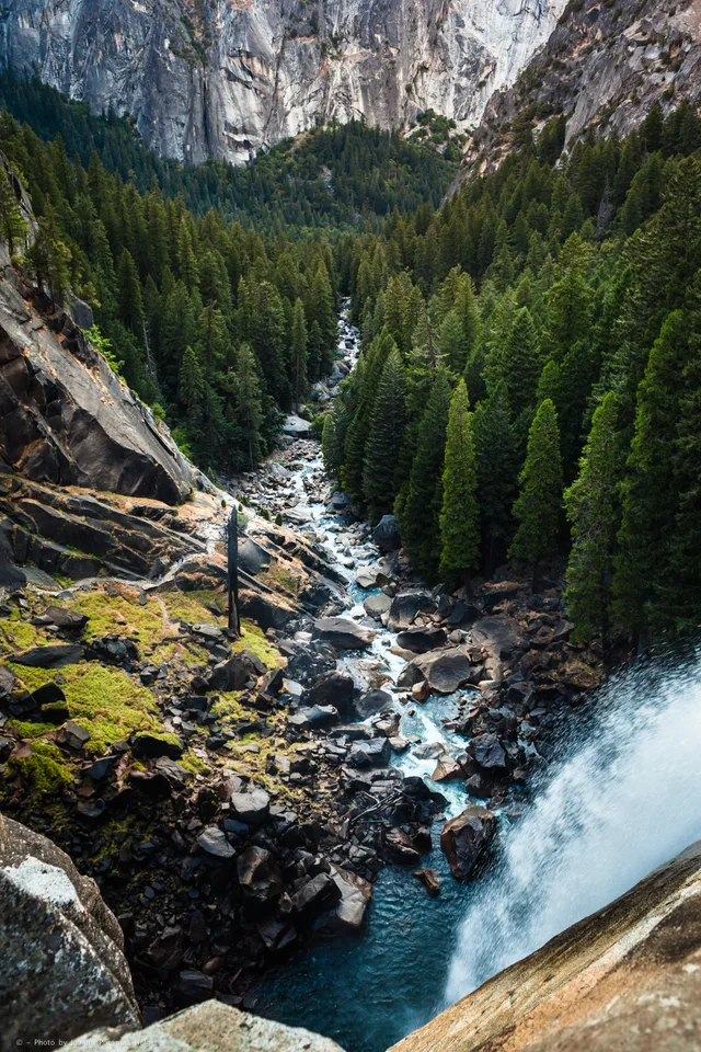
Living near the valley means trading urban amenities for dramatic seasonal shifts, where daily routines follow the strength of the runoff.
 मेट्रोपोलिटन कला संग्रहालय
 वॉल स्ट्रीट
 वाइट हाउस
 वर्ल्ड ट्रेड सेंटर
 ब्रुकलिन ब्रिज
 सेंट्रल पार्क
 एम्पायर स्टेट भवन
 गोल्डन गेट सेतु
 John F. Kennedy International Airport
 स्टैचू ऑफ़ लिबर्टी
 पेंटागन
 विलिस टावर
 Brooklyn Museum
 Getty Center
 J. Paul Getty Museum
 म्युसियम ओफ मॉडर्न आर्ट
 Solomon R. Guggenheim Museum
 Bronx Zoo
 Gateway Arch
 क्वेस्ट फील्ड
 Mercedes-Benz Stadium
 रिलायन्ट स्टेडियम
 यूनाइटेड सेंटर
 Broadway
 संयुक्त राष्ट्र मुख्यालय
 Rockefeller Center
 7 वर्ल्ड ट्रेड सेंटर
 875 North Michigan Avenue
 अमेरिकन म्यूजियम ऑफ नेचुरल हिस्ट्री
 एओन सेंटर, शिकागो
 Art Institute of Chicago
 न्यू काउबॉयस स्टेडियम
 Bank of America Tower
 वेरिज़ोन सेंटर
 Carnegie Hall
 Chrysler Building
 Coney Island
 Daniel K. Inouye International Airport
 डिज़्नीलैंड पार्क
 Fifth Avenue
 Flatiron Building
 ग्रांड सेंट्रल टर्मिनल
 Indianapolis Motor Speedway
 ला गुर्डिया हवाई अड्डा
 Levi's Stadium
 मैडीसन स्क्वायर गार्डन
 Manhattan Bridge
 New Amsterdam
 New York Times Building
 Newark Liberty International Airport
 १ वर्ल्ड ट्रेड सेंटर
 Rock and Roll Hall of Fame
 स्पेस नीडल
 St. Patrick's Cathedral
 टाइम्स स्क्वायर
 Trump Tower
 United States Naval Academy
 Woolworth Building
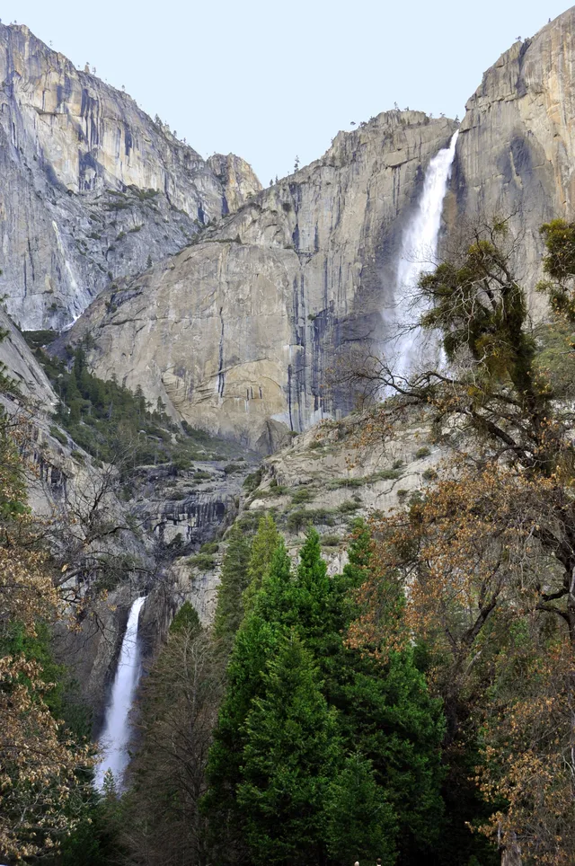
Runoff from the high country feeds the drop down to the valley floor, turning the cascade into the highest waterfall inside the national boundaries. Snowpack dictates how much spray reaches the surrounding pine forest, making spring the defining period for observing the plunge before warmer weeks diminish the flow.
Settling in the valley for an extended period requires adjusting to seasonal surges that bring substantial crowds during peak water volume. As the current diminishes, daily life around the granite cliffs becomes quiet, reflecting the shift from thunderous spray to exposed stone wall faces across the canyon.
≈ 25 मि॰ की दूरी परयोसेमाइट राष्ट्रीय उद्यान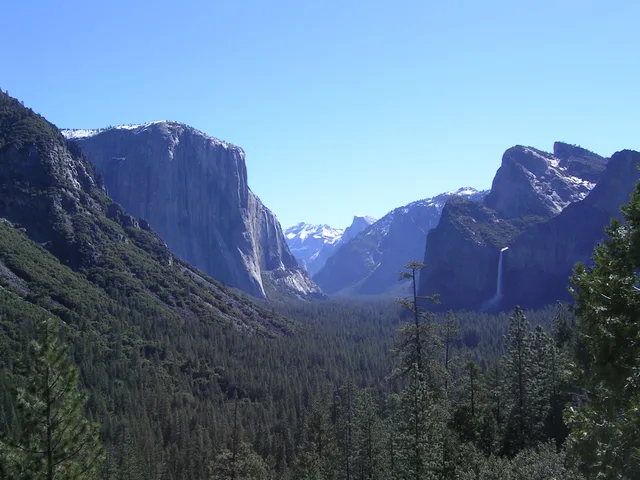 ≈ 25 मि॰ की दूरी परYosemite Valley
 ≈ 3 घं॰ 25 मि॰ की दूरी परसैन जोस, कैलिफोर्निया
अपनी पसंद की जगह नहीं मिल रही? खोज टूल किसी भी भाषा को समझता है। खोज खोलें