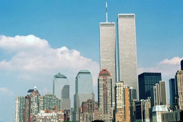
 à ≈ 10 minWorld Trade Center
- Distance
- 500 m
 TravelHub
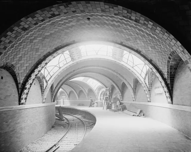
City Hall, also known as City Hall Loop, was a terminal station on the IRT Lexington Avenue Line of the New York City Subway. It was under City Hall Park next to New York City Hall in Civic Center, Manhattan.
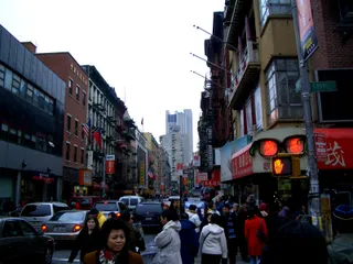 Chinatown
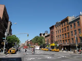 East Village
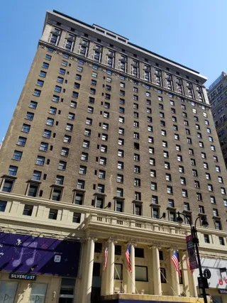 Hotel Pennsylvania
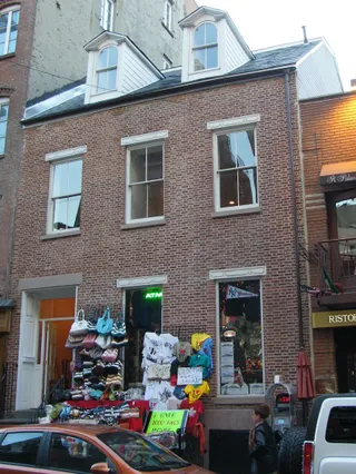 Little Italy
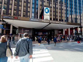 New York Penn
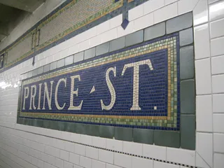 Prince Street
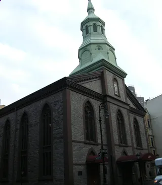 Church of the Transfiguration
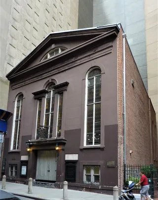 John Street Church
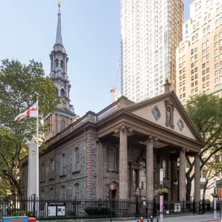 Saint Paul's Chapel
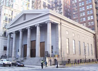 Saint Peter's Church
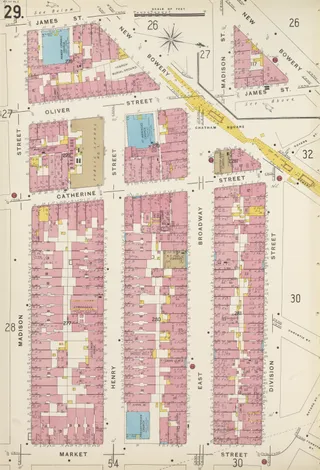 St. James Church
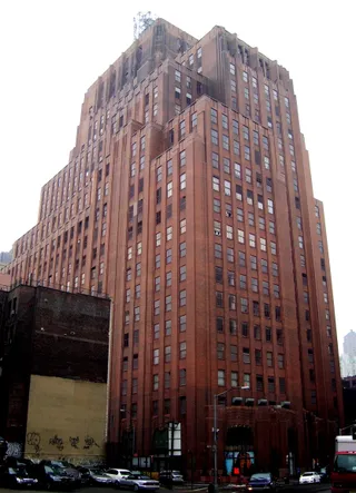 60 Hudson Street
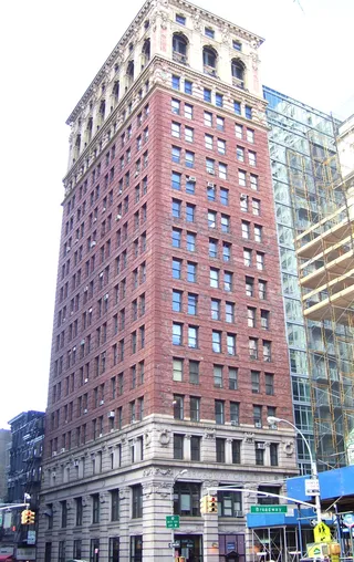 Broadway-Chambers Building
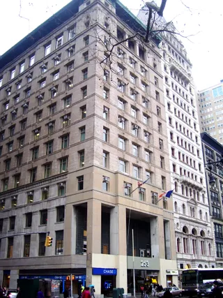 Home Life Building
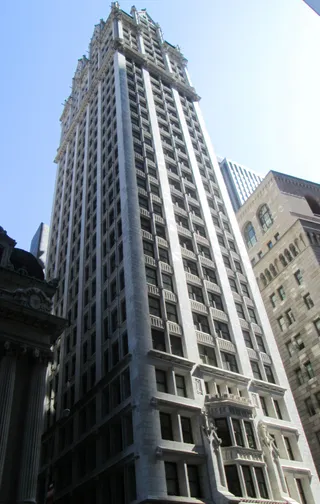 Liberty Tower
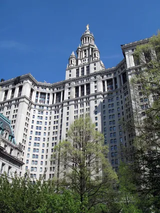 Manhattan Municipal Building
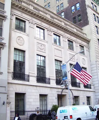 New York County Lawyers Association
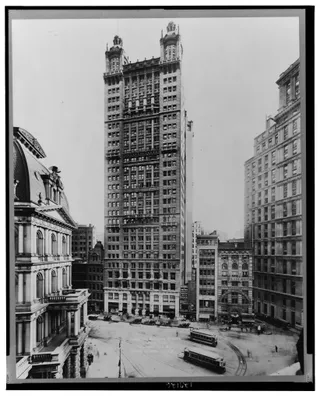 Park Row Building
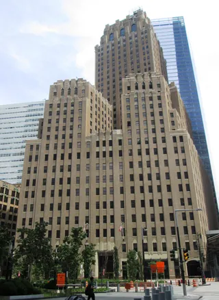 Verizon Building
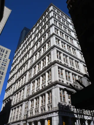 195 Broadway
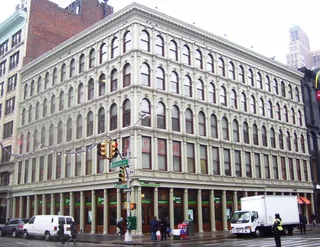 254-260 Canal Street
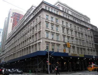 280 Broadway
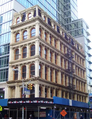 287 Broadway
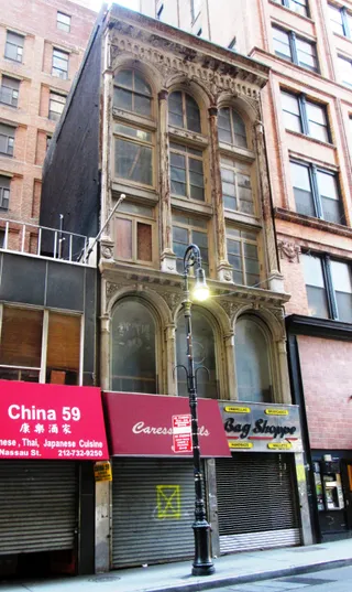 63 Nassau Street
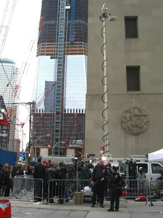 90 Church Street
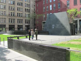 African Burial Ground National Monument
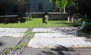 Alfred E. Smith House
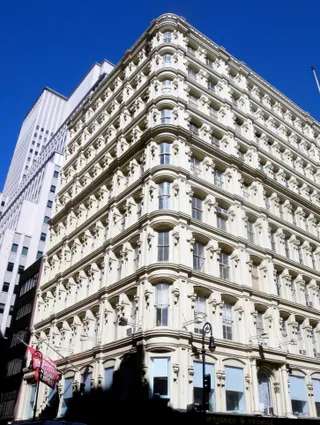 Bennett Building
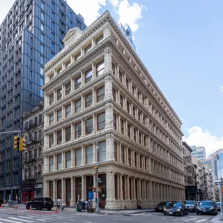 Building at 361 Broadway
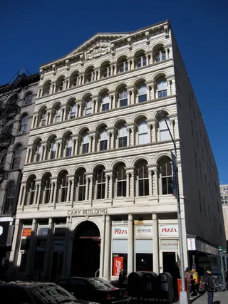 Cary Building
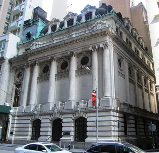 Chamber of Commerce Building
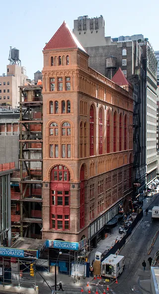 Corbin Building
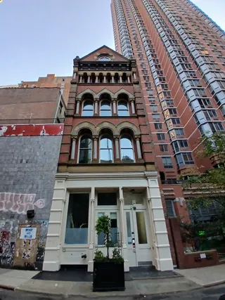 David S. Brown Store
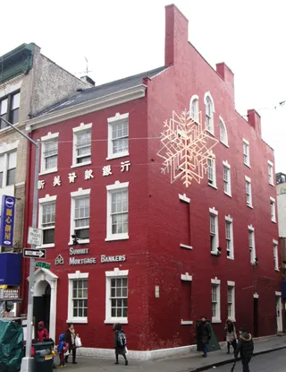 Edward Mooney House
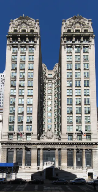 Emigrant Industrial Savings Bank Building
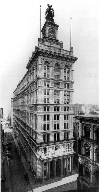 Former New York Life Insurance Company BuildingFulton-Nassau Historic District
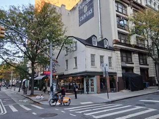 Gideon Tucker House
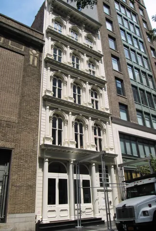 Hopkins Store
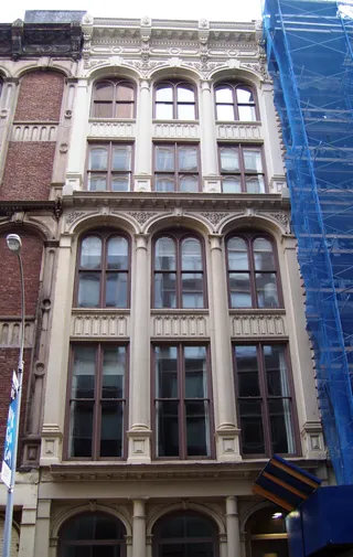 Kitchen, Montross & Wilcox Store
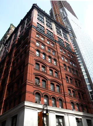 Morse Building
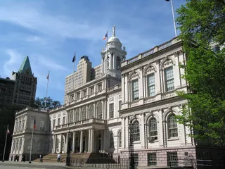 New York City Hall
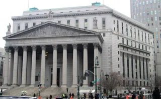 New York County Courthouse
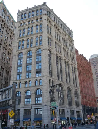 New York Times Building
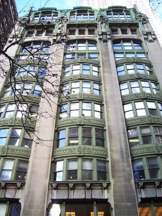 Old New York Evening Post Building
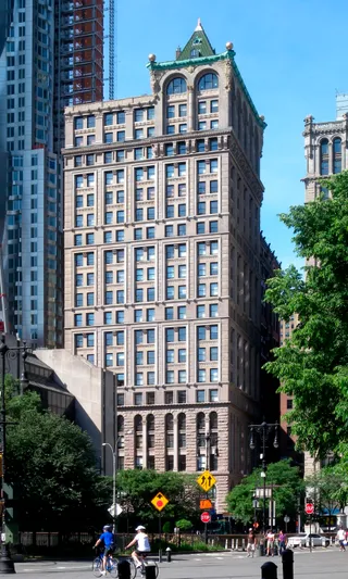 Park Place Tower
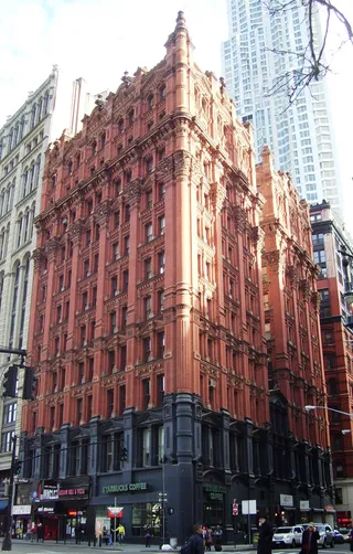 Potter Building
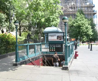 Surrogate's Courthouse
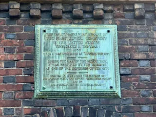 The First Cemetery of the Spanish and Portuguese Synagogue
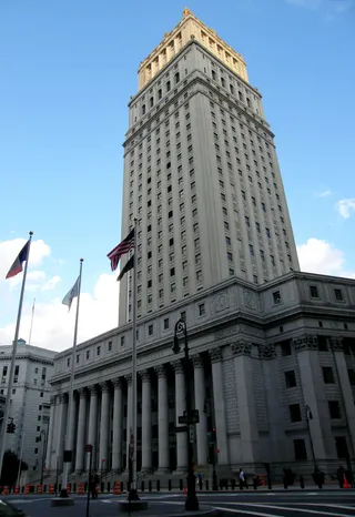 Thurgood Marshall United States Courthouse
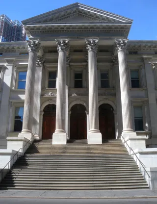 Tweed Courthouse
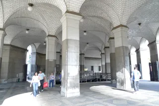 Brooklyn Bridge – City Hall / Chambers Street
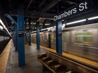 Chambers Street
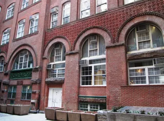 Excelsior Power Company Building
Ce que les visiteurs écrivent sur Google Maps
La note et les avis récents de Google Maps se chargent à la demande.
à ≈ 10 minWorld Trade Center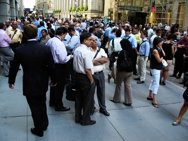 à ≈ 10 minWall Street
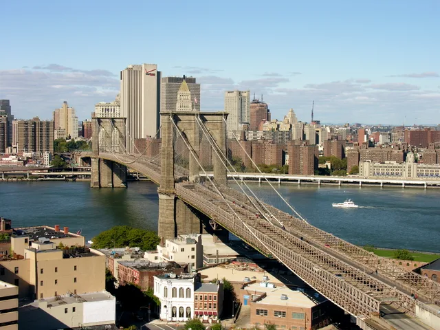 à ≈ 15 minpont de Brooklyn
Vous ne trouvez pas la destination souhaitée ? La recherche prend en charge toutes les langues. Ouvrir la recherche