
- Distance
- 100 m
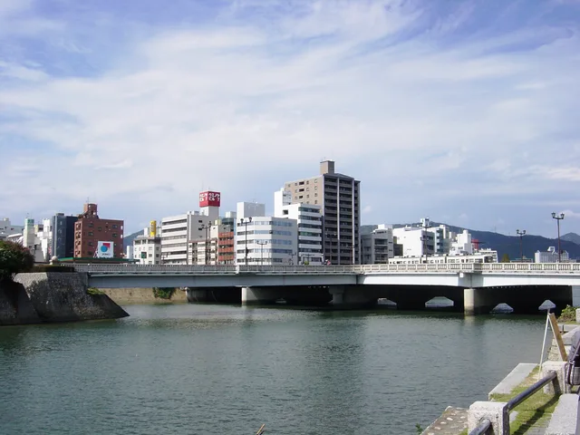
Hiroshima · Japon
pont Aioi: ce qu’il y a autour, comment y aller et quand venir · 2026
Residents living north of Nakajima-cho cross this branching river deck alongside streetcars every morning, treating the historic junction as an ordinary neighbourhood commute.
Autour33
Taux de change157,9 ¥au 2 nov. 2026
Aux alentours33
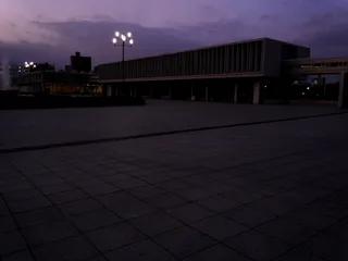 musée du mémorial de la Paix de Hiroshima
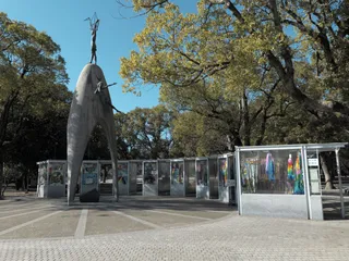 monument de la paix des enfants
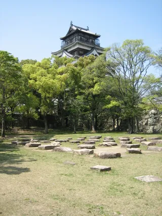 château de Hiroshima
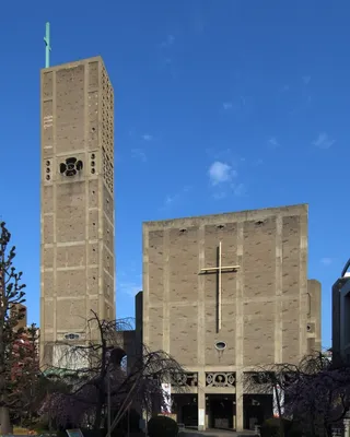 Assumption of Mary Cathedral, Hiroshima
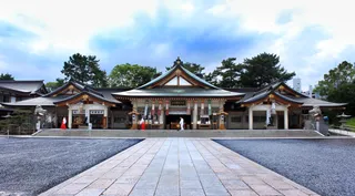 sanctuaire Gokoku d'Hiroshima
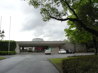 musée d'art de Hiroshima
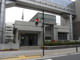 Fukuromachi Elementary School Peace Museum
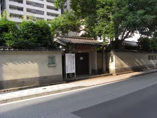 Rai Sanyo Shiseki Museum
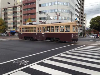 Honkawa Elementary School gymnasium
- Honkawa Elementary School Peace Museum
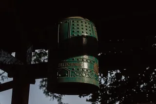 Bell of Peace
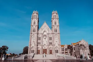 Roman Catholic Diocese of Hiroshima
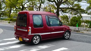 Shirakami-sha
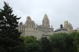 Central Park
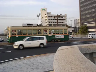 Hiroshima Crystal Plaza
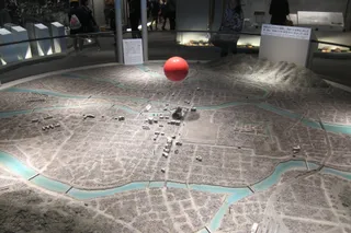 Nishi-Heiwa Bridge
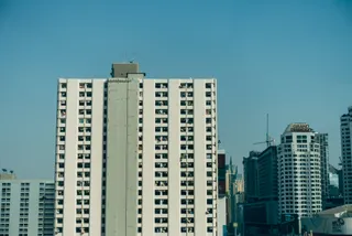 Urban View Grand Tower
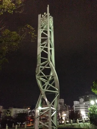 Atomic Bomb Memorial Mound
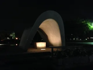 Cenotaph for the A-bomb Victims
 Hiroshimadaihoneiato
 Phoenix tree
 The Gates of Peace
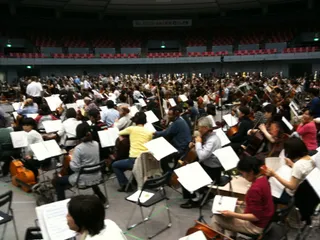 Hiroshima Orizuru Tower
- dôme de Genbaku
- parc du Mémorial de la Paix de Hiroshima
- Hondōri
- Former Bank of Japan
- Hiroshima Peace Memorial (Genbaku Dome)
- Rest House
- Hiroshima Children's Museum
- 永徳寺 観音院
- 西蓮寺 (広島市)
- Flame of Peace
À propos du lieu
A branching streetcar deck connects urban transit corridors directly to Nakajima-cho.
Built to accommodate municipal streetcars, the crossing features a distinct T-shaped junction where separate bridge spans converge, which provides the foundation for its name. The broader span crosses the river divide, while the downward spur forms the northern entrance to Nakajima-cho and the Peace Memorial Park grounds. Daily transit riders and neighbourhood commuters share the deck alongside visitors heading to the memorial.
Lire la suite
Aerial visibility made this distinctive layout the primary aiming point for wartime bombardment, though the detonation veered off course over a nearby hospital. The blast lifted the deck without collapsing the piers, and the reinforced structure subsequently survived severe typhoon floods that destroyed downstream wooden bridges. Modern reconstruction replicated the original framework, and a salvaged girder now rests in the peace museum.
Associations
- T-shaped junction
- Hiroshima Peace Memorial Park
- Streetcar network
- Wartime hypocenter target
Faits
- The original bridge structure was selected as the aerial aiming point for the atomic bomb.
- A surviving floor girder from the original crossing is preserved inside the Hiroshima Peace Memorial Museum.
- The bridge name originates from the meeting point of its connecting spans.
- The southern branch of the bridge functions as the northern entrance to the Hiroshima Peace Memorial Park.
pont Aioi en images8 photos · 3 lieux
Arriver et se loger
Séjours gratuits chez l'habitantVoir les hôtes
Dans la ville22
2 sources · Au 3 novembre 2026
Source : TravelHub · OurAirports (public domain)
Avis Google
Ce que les visiteurs écrivent sur Google Maps
La note et les avis récents de Google Maps se chargent à la demande.
Destinations similaires à proximité
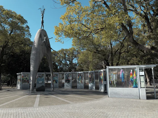
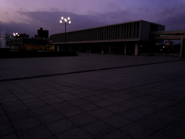
Lieux à pont Aioi
Pays à proximité
Questions fréquentes sur pont Aioi
Vous ne trouvez pas la destination souhaitée ? La recherche prend en charge toutes les langues. Ouvrir la recherche