- 距离
- 100米
广岛市 · 日本
相生橋: 周边有什么、如何前往、何时最合适 · 2026年
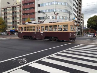
Residents living north of Nakajima-cho cross this branching river deck alongside streetcars every morning, treating the historic junction as an ordinary neighbourhood commute.
周边33
汇率¥157.9截至 2026年11月2日
周边推荐33
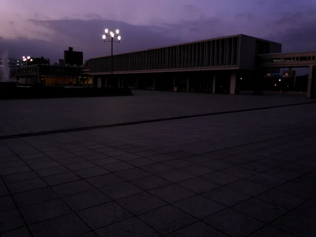
 廣島和平紀念資料館
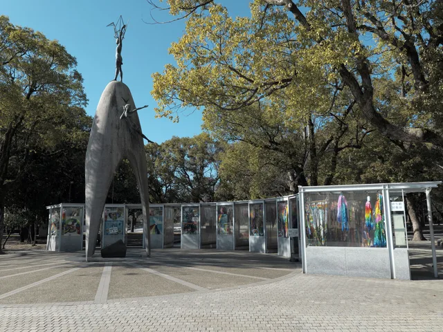
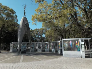 原爆之子像
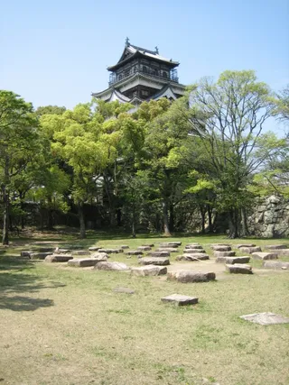 廣島城
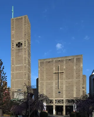 幟町教會
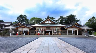 廣島護國神社
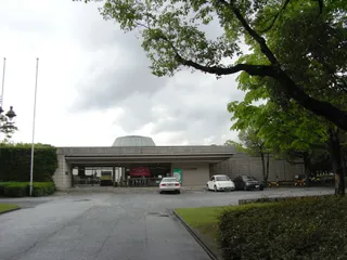 广岛美术馆
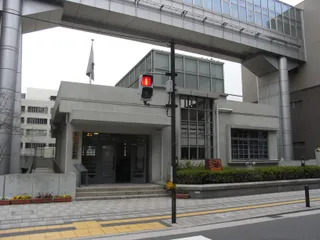 Fukuromachi Elementary School Peace Museum
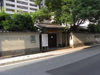 Rai Sanyo Shiseki Museum
 Honkawa Elementary School gymnasium
- Honkawa Elementary School Peace Museum
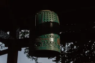 Bell of Peace
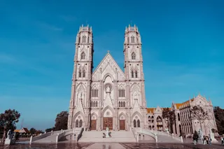 Roman Catholic Diocese of Hiroshima
 Shirakami-sha
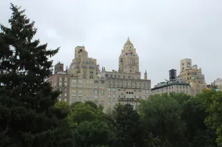 Central Park
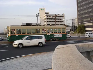 Hiroshima Crystal Plaza
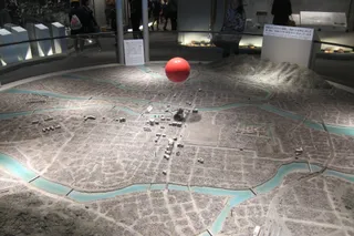 Nishi-Heiwa Bridge
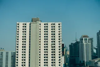 Urban View Grand Tower
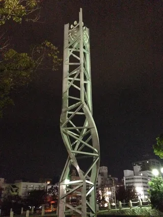 Atomic Bomb Memorial Mound
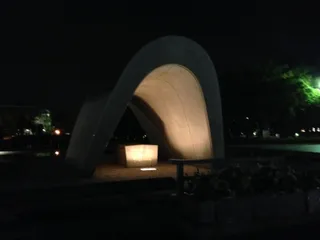 Cenotaph for the A-bomb Victims
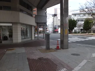 Hiroshimadaihoneiato
 Phoenix tree
 The Gates of Peace
 Hiroshima Orizuru Tower
- 原子弹爆炸圆顶屋
- 广岛和平纪念公园
- 廣島本通商店街
- Former Bank of Japan
- Hiroshima Peace Memorial (Genbaku Dome)
- Rest House
- Hiroshima Children's Museum
- 永徳寺 観音院
- 西蓮寺 (広島市)
- Flame of Peace
关于此地
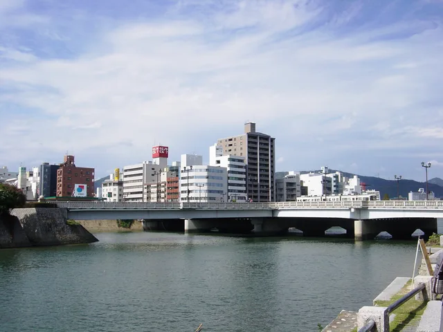
A branching streetcar deck connects urban transit corridors directly to Nakajima-cho.
Built to accommodate municipal streetcars, the crossing features a distinct T-shaped junction where separate bridge spans converge, which provides the foundation for its name. The broader span crosses the river divide, while the downward spur forms the northern entrance to Nakajima-cho and the Peace Memorial Park grounds. Daily transit riders and neighbourhood commuters share the deck alongside visitors heading to the memorial.
继续阅读
Aerial visibility made this distinctive layout the primary aiming point for wartime bombardment, though the detonation veered off course over a nearby hospital. The blast lifted the deck without collapsing the piers, and the reinforced structure subsequently survived severe typhoon floods that destroyed downstream wooden bridges. Modern reconstruction replicated the original framework, and a salvaged girder now rests in the peace museum.
相关组织
- T-shaped junction
- 广岛和平纪念公园
- Streetcar network
- Wartime hypocenter target
事实信息
- The original bridge structure was selected as the aerial aiming point for the atomic bomb.
- A surviving floor girder from the original crossing is preserved inside the Hiroshima Peace Memorial Museum.
- The bridge name originates from the meeting point of its connecting spans.
- The southern branch of the bridge functions as the northern entrance to the Hiroshima Peace Memorial Park.
相生橋 的影像8 张照片 · 3 个地点
交通与住宿
房主免费住宿查看所有房主
在市区22
2 个来源 · 截至 2026年11月3日
来源:TravelHub · OurAirports (public domain)
Google 评价
访客在 Google 地图上怎么说
Google 地图的评分和最新评价将按需加载。