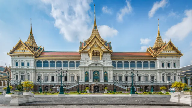
 ≈ 30 Min. entferntGroßer Palast
- Entfernung
- 2,5 km
 TravelHub
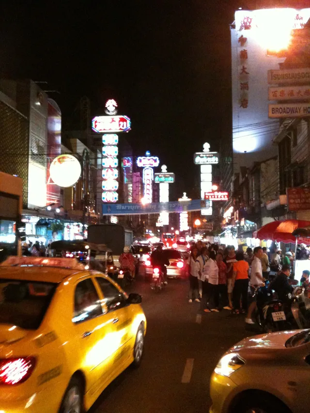
Residents along Chinatown's primary commercial corridor trade evening market congestion and tight living quarters for rapid transit access and direct wholesale markets.
The district developed after the relocation of Chinese merchants from the palace grounds to the riverbank during the founding of Rattanakosin. These traders managed maritime junk routes between Siam and China, establishing permanent commercial operations along the waterfront. Royal decrees later directed the construction of the curved avenue across former canals and rice fields to avoid demolishing existing residential clusters.
Modern commerce along the road centers on high-density retail and wholesale operations, ranging from gold brokerages to textile merchants and food suppliers. Real estate values throughout the corridor rank among the highest nationally, as family estates retain long-term control over limited plots. Nightfall shifts commercial activity toward outdoor food vendors, drawing dense foot traffic along the roadway.
Daily logistics rely on dense alley networks and public transit infrastructure. Wat Mangkon station provides direct underground rail access beneath nearby Charoen Krung Road, while multiple municipal bus routes navigate the corridor. Dense wooden housing in historic side lanes creates persistent fire risks, while major cultural celebrations periodically close the entire avenue to vehicular traffic.
Was Besucher auf Google Maps schreiben
Bewertung und aktuelle Rezensionen von Google Maps werden auf Wunsch geladen.
≈ 30 Min. entferntGroßer Palast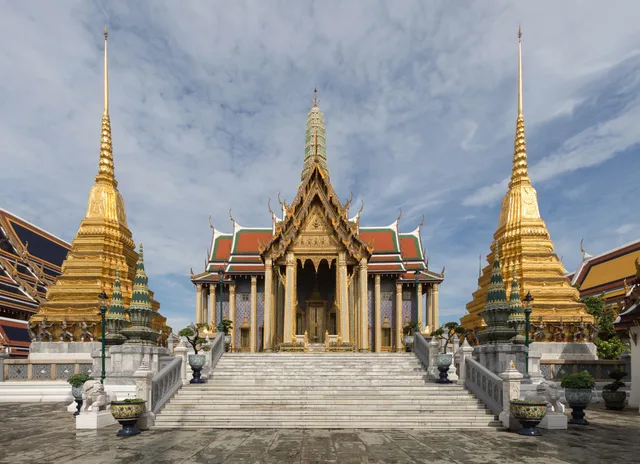 ≈ 30 Min. entferntWat Phra Kaeo
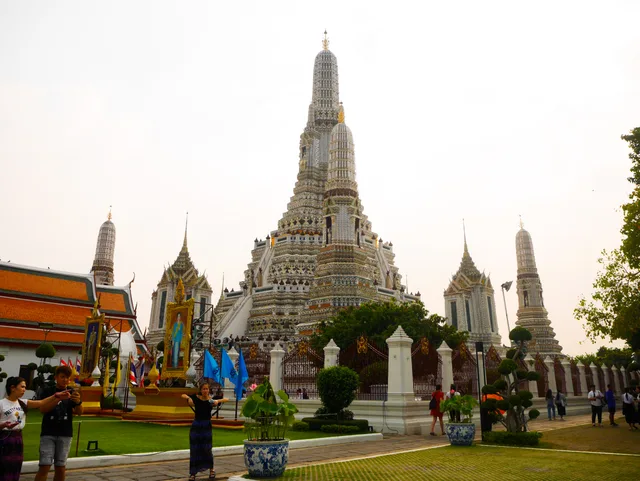 ≈ 35 Min. entferntWat Arun
Ort nicht gefunden? Die Suche versteht jede Sprache. Suche öffnen