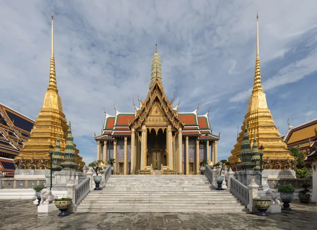
 ≈ 25 Min. entferntWat Phra Kaeo
- Entfernung
- 1,8 km
 TravelHub
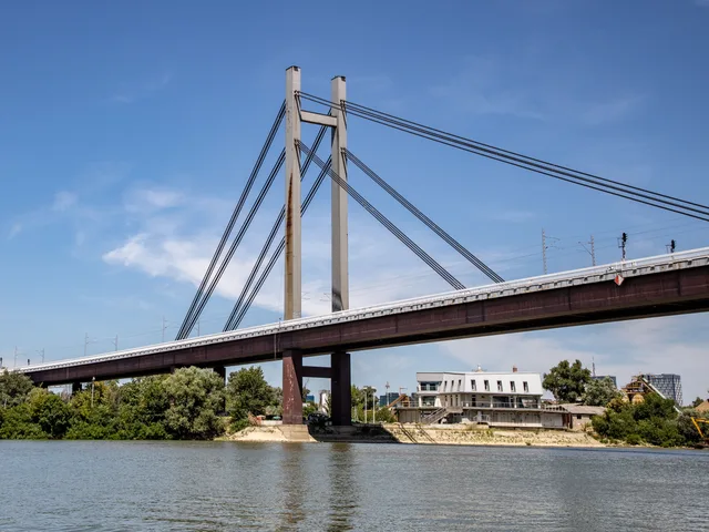
Commuters crossing Naris Damrat bridge trade open sidewalk space for intense canal-side motorbike traffic on every daily trip.
 Großer Palast
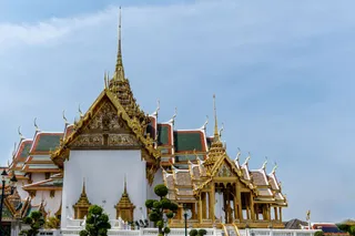
 Wat Phra Kaeo
 Nationalmuseum Bangkok
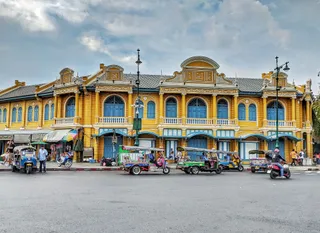 Sanam Luang
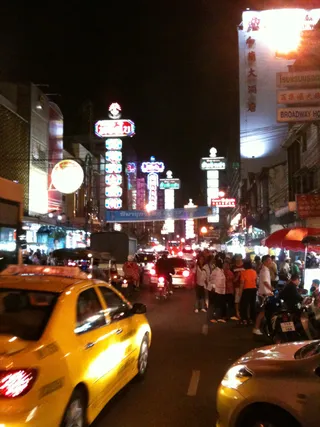
 Khaosan Road
 Thanon Yaowarat
 Wat Benchamabophit
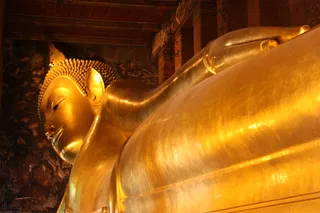 Wat Pho
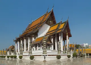 Wat Suthat
 Nationalgalerie Bangkok
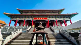 Bangkok City Pillar Shrine Theater (free)
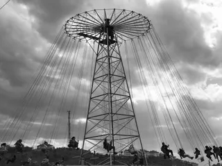 Giant Swing
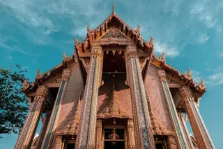 Wat Ratchabophit Sathit Maha Simaram Ratchaworawihan
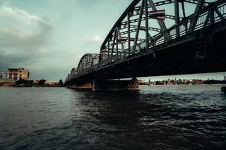 Mahat Thai Uthit bridge
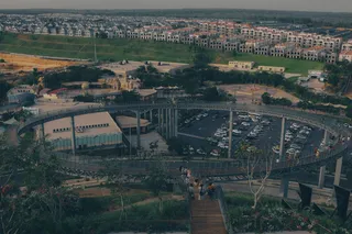 Phan Phiphop Lila Bridge
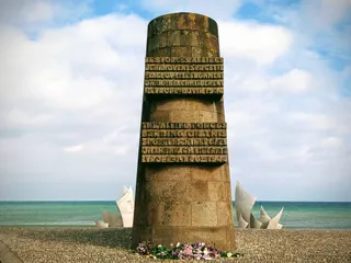 Memorial of Expeditionary Force
Naris Damrat bridge anchors foot and vehicle transit across the canal corridor as an established architectural site. Urban commuters use the span to navigate past gridlocked perimeter avenues during morning transit surges. Moving through this corridor places residents amid continuous street trading and active courier movements.
Long-term residents manage intense tropical humidity and narrow pedestrian passages alongside steady motor traffic near the canal bank. Incoming arrivals secure verified unpaid host arrangements recorded in community registries across the metropolis, lowering relocation overhead while synchronizing work to local time schedules.
Was Besucher auf Google Maps schreiben
Bewertung und aktuelle Rezensionen von Google Maps werden auf Wunsch geladen.
≈ 25 Min. entferntWat Phra Kaeo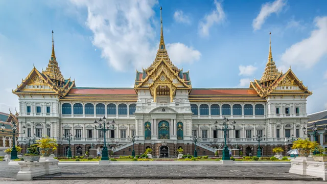 ≈ 25 Min. entferntGroßer Palast
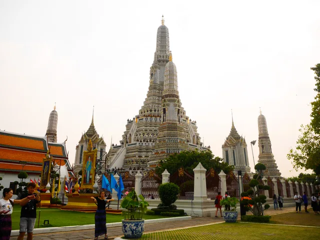 ≈ 30 Min. entferntWat Arun
Ort nicht gefunden? Die Suche versteht jede Sprache. Suche öffnen