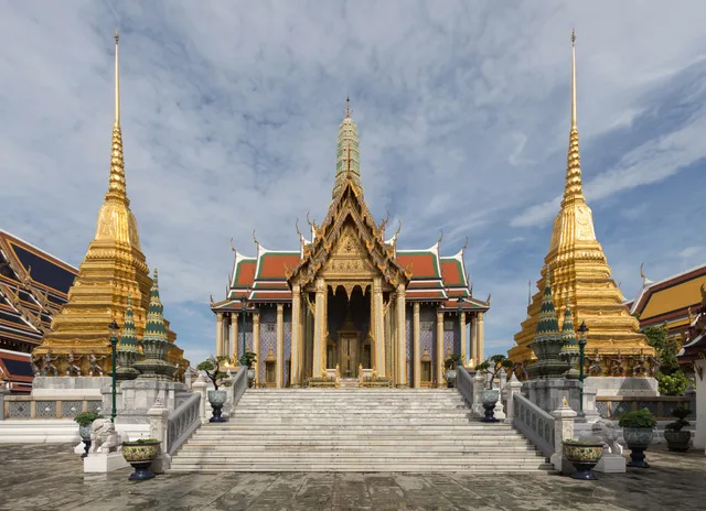
 ≈ 5 Min. entferntWat Phra Kaeo
- Entfernung
- 400 m
 TravelHub
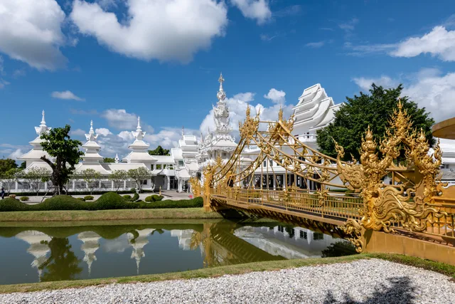
Residents heading east toward Bamrung Mueang Road cross Khlong Khu Mueang Doem alongside civil servants from the adjacent ministries.
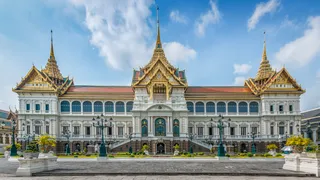 Großer Palast
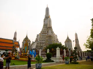 Wat Arun
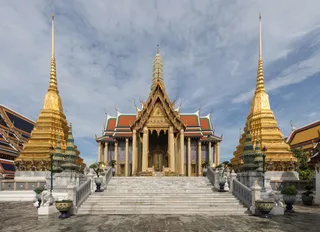 Wat Phra Kaeo
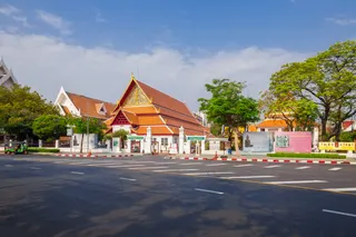 Nationalmuseum Bangkok
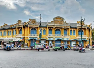 Sanam Luang
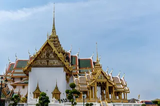 Khaosan Road
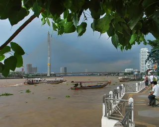 Rama-VIII.-Brücke
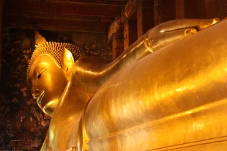 Wat Pho
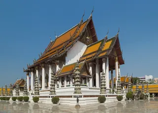 Wat Suthat
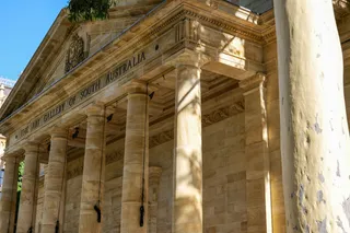 Nationalgalerie Bangkok
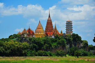 San Chaopho Suea (Sao Chingcha)
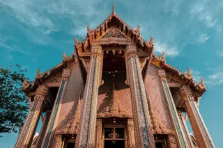 Wat Ratchabophit Sathit Maha Simaram Ratchaworawihan
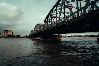 Mahat Thai Uthit bridge
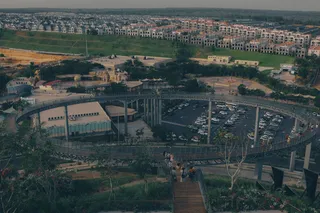 Phan Phiphop Lila Bridge
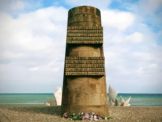 Memorial of Expeditionary Force
Chang Rong Si Bridge functions as both a canal crossing and a historic monument on Rattanakosin Island. The structure spans Khlong Khu Mueang Doem, the historic moat demarcating the old city center within Phra Nakhon. It marks the precise border intersection where Phra Borom Maha Ratchawang meets San Chaopho Suea and Wat Ratchabophit, anchoring pedestrian movements between administrative grounds and residential streets.
The bridge carries Kanlayana Maitri Road eastward into the start of Bamrung Mueang Road directly past government compounds. The Ministry of Defense stands immediately behind the structure, while the Ministry of Interior occupies the corner facing the canal. Rachini Road follows the western water bank, and Atsadang Road joins the crossing at Saphan Chang Rong Si Intersection, concentrating civil service vehicles on daily commutes.
Was Besucher auf Google Maps schreiben
Bewertung und aktuelle Rezensionen von Google Maps werden auf Wunsch geladen.
≈ 5 Min. entferntWat Phra Kaeo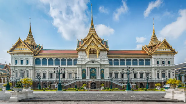 ≈ 10 Min. entferntGroßer Palast
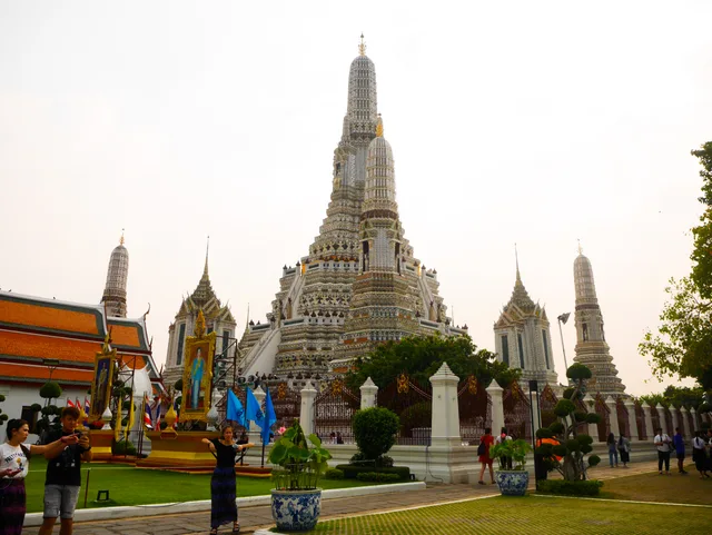 ≈ 15 Min. entferntWat Arun
Ort nicht gefunden? Die Suche versteht jede Sprache. Suche öffnen