 距离 ≈ 30分钟帕邢寺
- 距离
- 2.3公里
 TravelHub
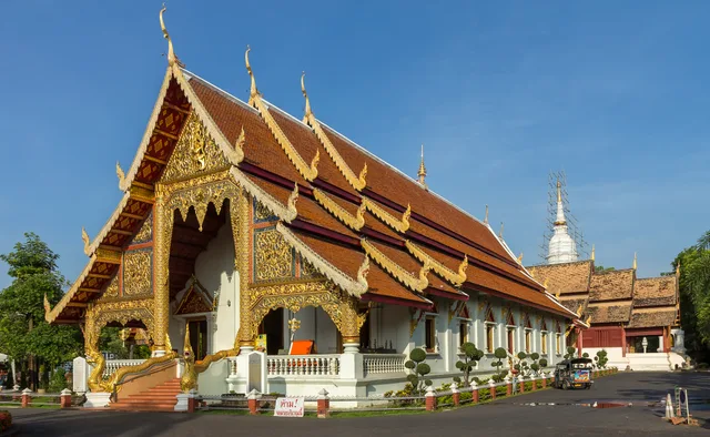
Tenants near Wat Ket Karam step out into the old Chinese market each morning while preserving the quiet of the pagoda grounds for evening walks.
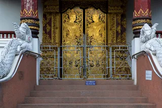
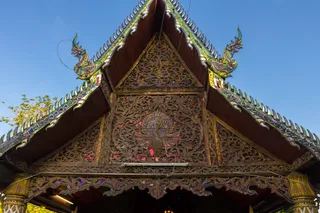
The Buddhist temple complex carries the alternate name Wat Sa Ket and originates from the Phra Jao Sam Fang Kaen era. At the center of the grounds stands the Ket Kaew Chura Manee pagoda, where local residents gather for daily veneration. Monastic routines shape the surrounding neighbourhood, giving long-term residents a quiet spiritual sanctuary directly beside their everyday domestic routes.
The perimeter of the temple meets an old Chinese community market along the Ping River, creating an immediate transition between merchant stalls and monastic grounds. Inside the temple walls, an on-site museum exhibits rare antiques and archival photographs documenting Chiang Mai urban history. For relocated workers, this setting pairs immediate access to street vendors with preserved historical records steps from home.
此处暂无免费住宿的房东 — 最近的此类城市为:
曼谷访客在 Google 地图上怎么说
Google 地图的评分和最新评价将按需加载。