 距离 ≈ 3小时 55分钟吉科巴哈
- 月份
- ≈ $1,260
- 距离
- 525公里
 TravelHub
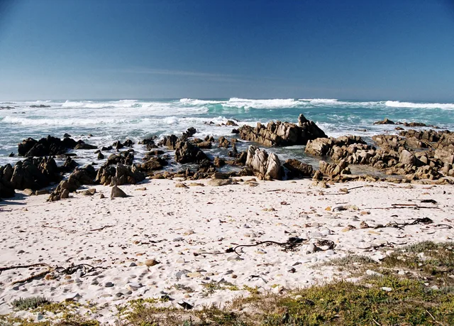
Living beside the continental extremity brings persistent coastal gales and quiet isolation once tour buses depart in the late afternoon.
 開普敦球場
 足球城體育場
 納爾遜·曼德拉海灣球場
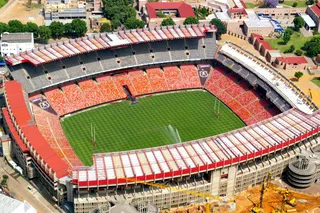 埃利斯公園球場
 洛夫特斯·费斯费尔德球场
 摩西·馬布海達體育場
 奥利弗·坦博国际机场
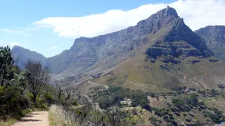 南非桌山國家公園
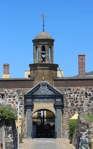 好望堡
 種族隔離博物館
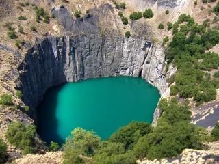 金伯利大洞
 卡爾登中心辦公大樓
 伊麗莎白港機場
 希爾布羅塔
 國王公園球場
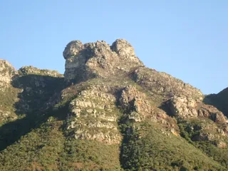 基斯滕博斯國家植物園
 紐蘭特體育場
 Orlando Stadium庞特城市公寓
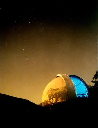 好望角皇家天文台
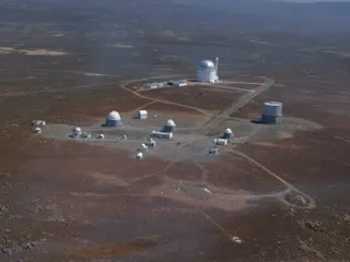 南非天文台
 聯合大樓
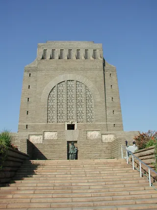 先民紀念館
 Wanderers Stadium
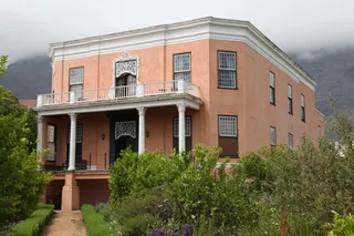 Rust en Vreugd
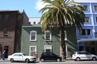 Palm Tree Mosque
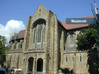 St. George's Cathedral
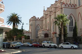 St. Mary's Cathedral
 Gardens Shul
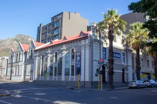 District Six Museum
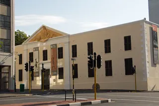 開普敦奴隸小屋
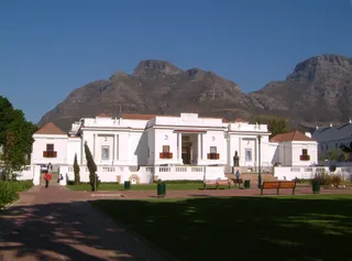 South African National Gallery
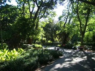 公司花園
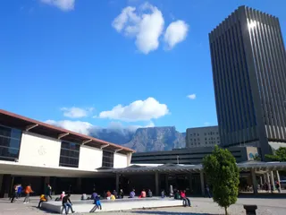 Golden Acre
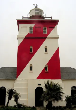 Green Point Lighthouse
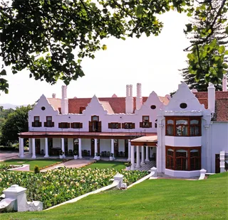 Groote Schuur
 羅德斯紀念碑
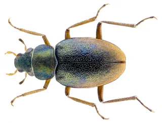 Triangle House
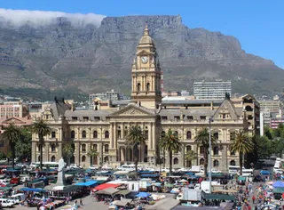 开普敦市政厅
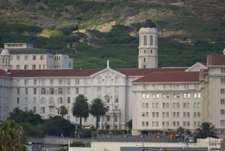 格羅特·舒爾醫院
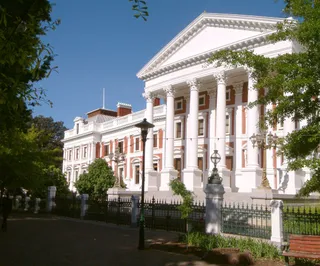 開普敦議會大廈
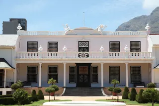 泰因海斯
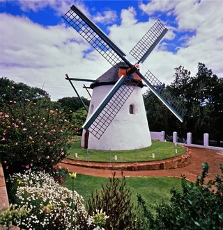 莫斯特風車
 Koopmans-de Wet House
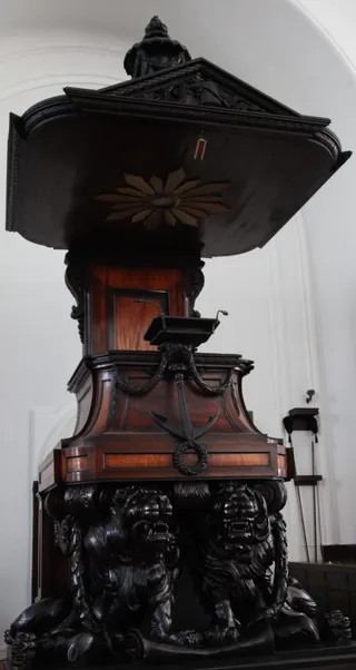 Groote Kerk
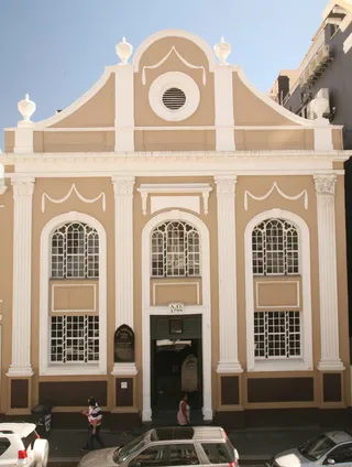 South African Sendinggestig Museum
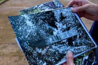 Arderne Gardens
 De Waal Park
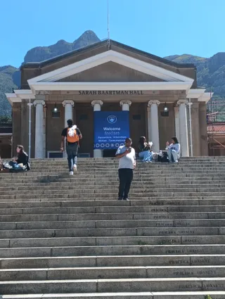 University of Cape Town
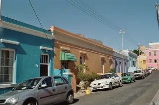 Bo-Kaap
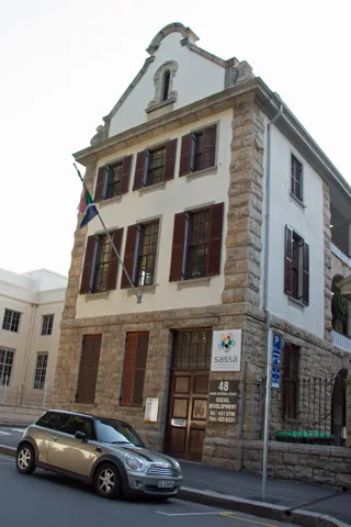 Huguenot Memorial Building
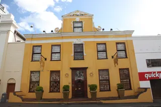 Martin Melck House
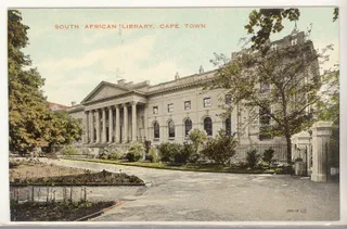 National Library of South Africa
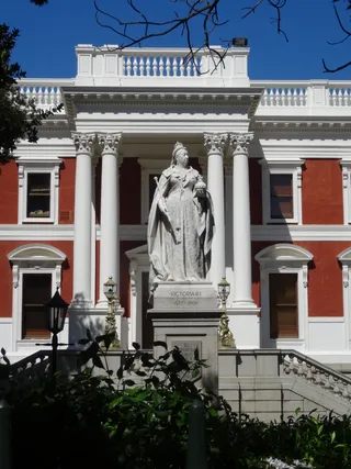 Queen Victoria
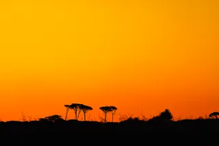 Rondebosch Common
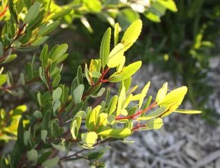 Signal Hill
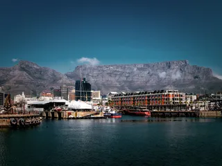 Table Mountain
The headland constitutes the authentic geographical boundary between the Atlantic and Indian oceans. Cartographers and international hydrographic bodies define this rocky shoreline as the dividing marker. Coastal weather stays tempered throughout the year under a Mediterranean classification, bringing steady conditions without extreme heat.
A protected national park reserve surrounds the coastline to preserve native flora and coastal ecosystems. Winter carries the bulk of regional precipitation over the low bluffs. Long stays mean managing persistent marine damp, remote supply runs, and sparse municipal infrastructure outside small nearby coastal settlements.
没找到心仪的目的地?搜索功能支持任何语言。 打开搜索